Miyar Valley Trek
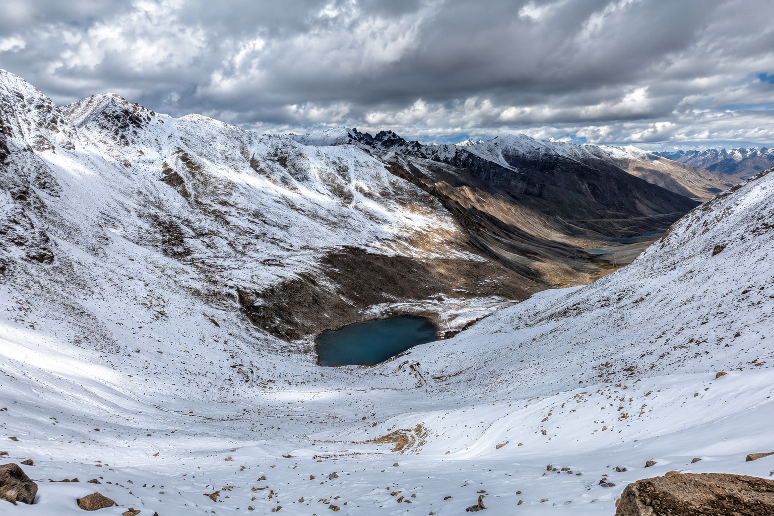
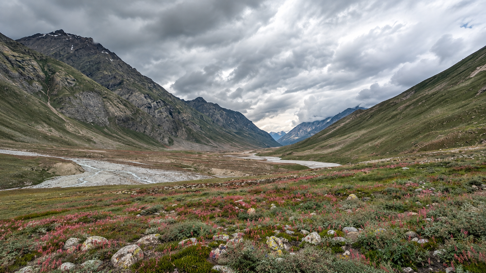
Miyar Valley is a remote, wide Himalayan valley in Lahaul, known for its vast alpine meadows, boulder fields, glacial streams and the seven sacred waters of Kesar Yon Chhap near the Miyar Glacier. The trail gradually moves deeper into the valley, with Phalpu marking the end of the standard Miyar Valley trek before the route continues towards Kang La.
Quick Info
Altitude
~4000m
Difficulty
Moderate
Distance
~60 Km
Base Village
Khanjar / Shukto
Duration
3-7 Days
Best Season
June – September
Highlights
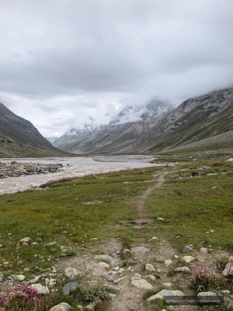
• Miyar Nala and its wide alpine valley
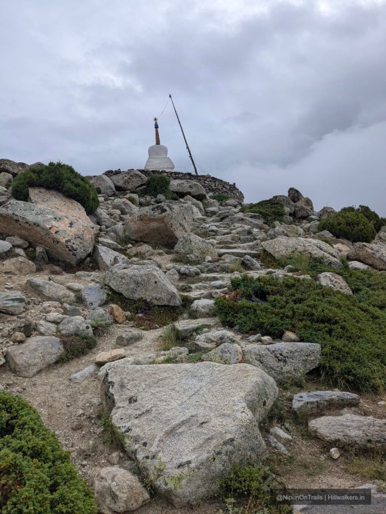
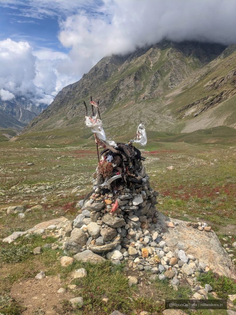
• Traditional villages and Buddhist chortens
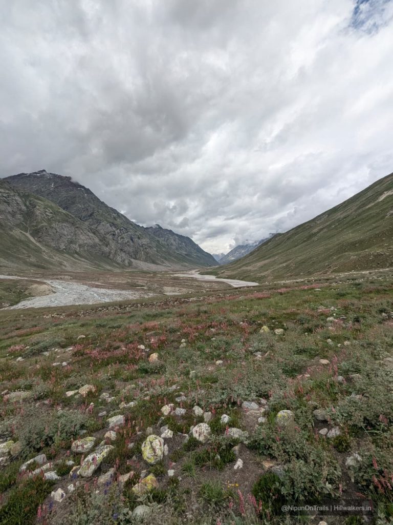
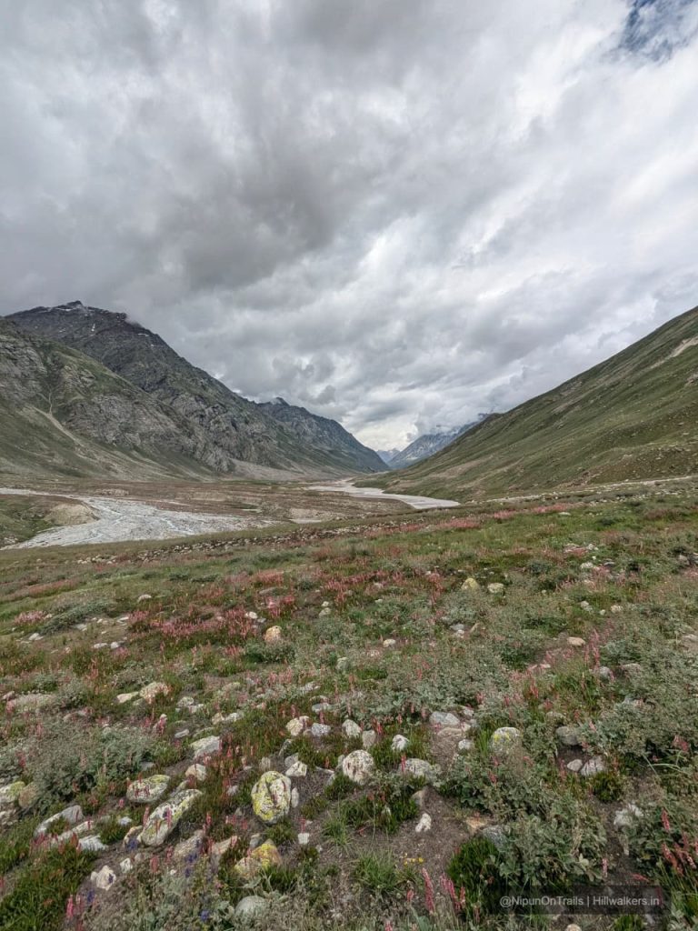
• Vast meadows and wildflowers
• Zardung’s boulder fields
• Phalpu and the Miyar Glacier
• Kesar Yon Chhap, the Seven Sacred Waters
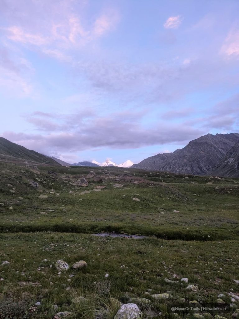
• Castle Peak and surrounding 6,000 m peaks
• Optional continuation towards Kang La and Zanskar
Overview
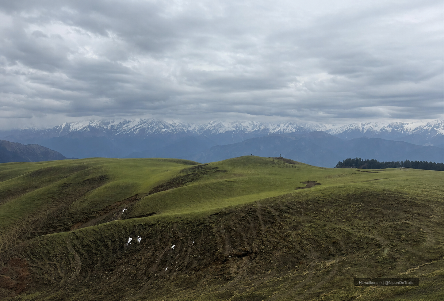
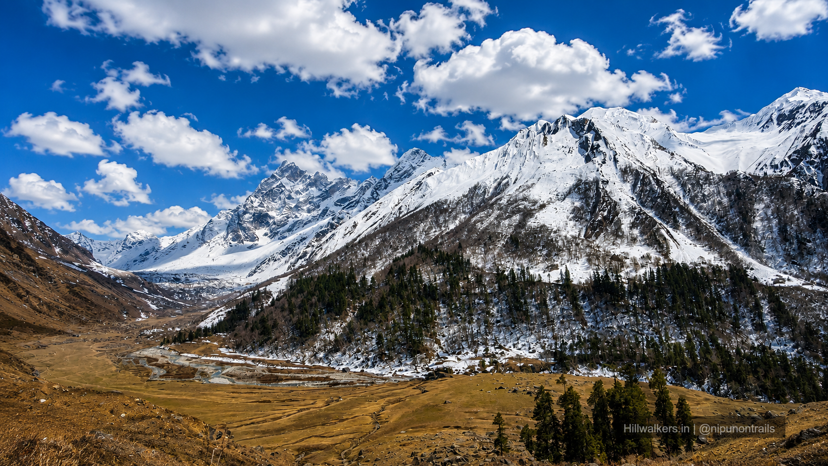
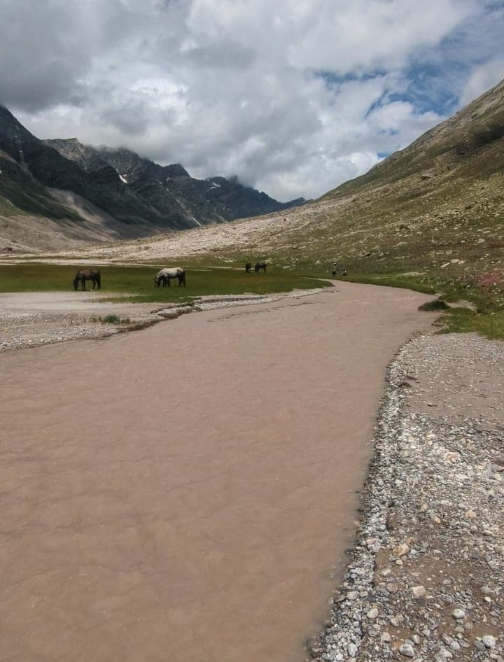
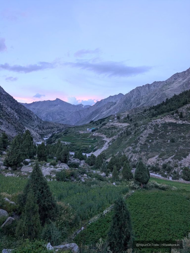
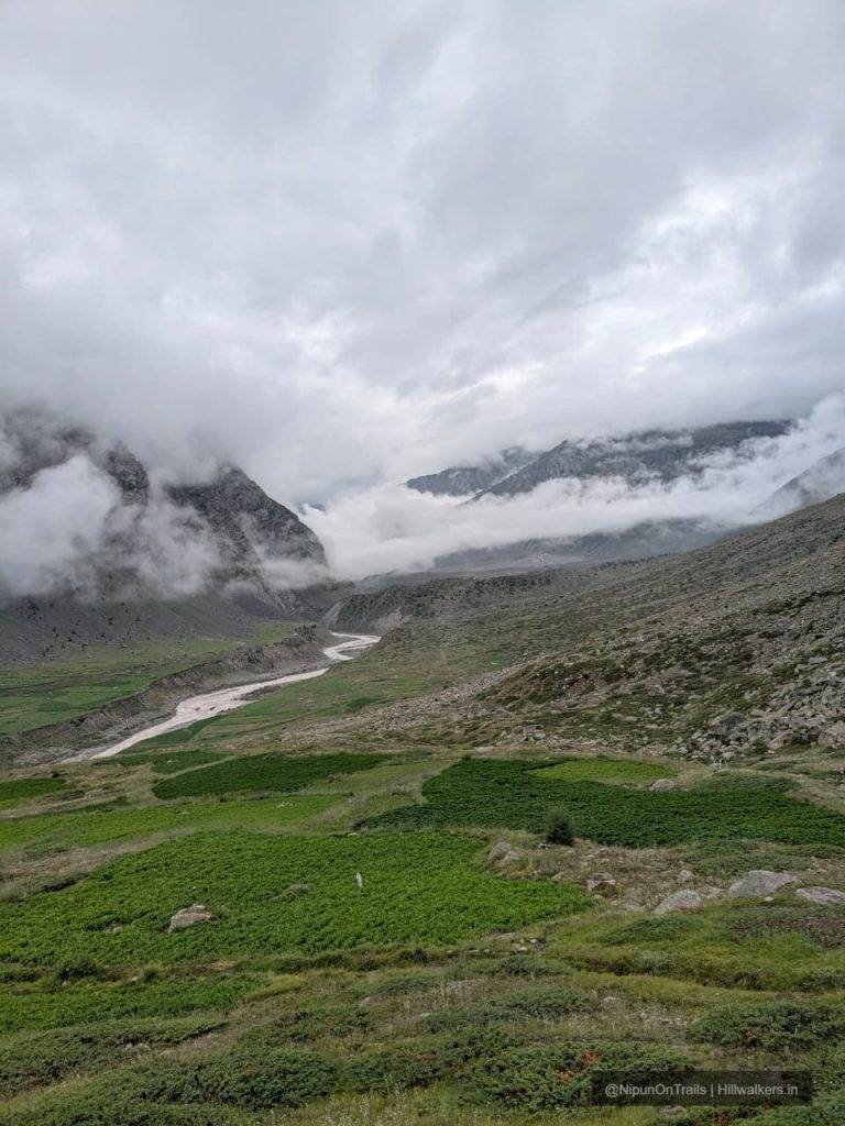
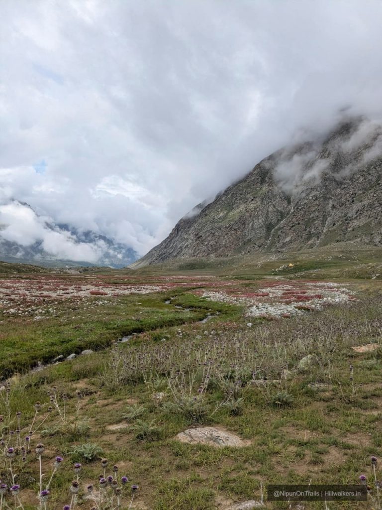
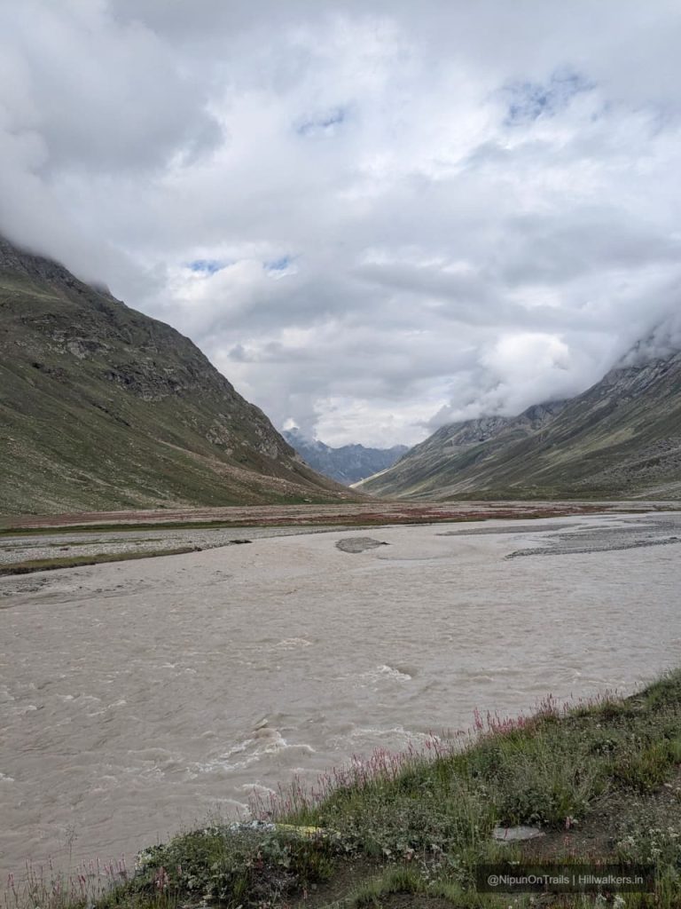
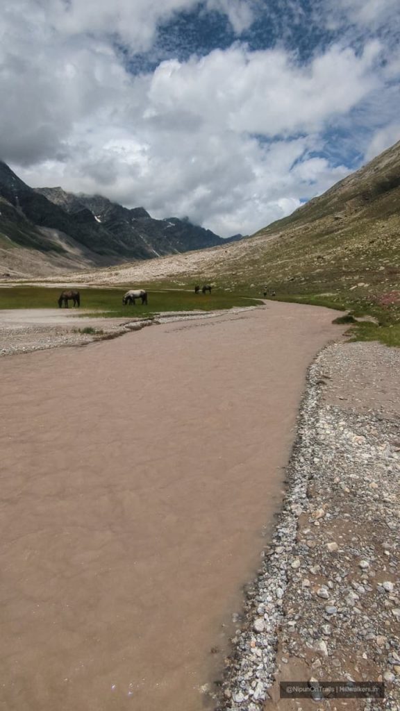
Miyar Valley lies in the remote western part of Lahaul, Himachal Pradesh. The valley follows the Miyar Nala towards the Miyar Glacier, with the landscape changing gradually from cultivated village land and green meadows to increasingly rugged high altitude terrain. The valley is also an important grazing area for Gaddi shepherds.
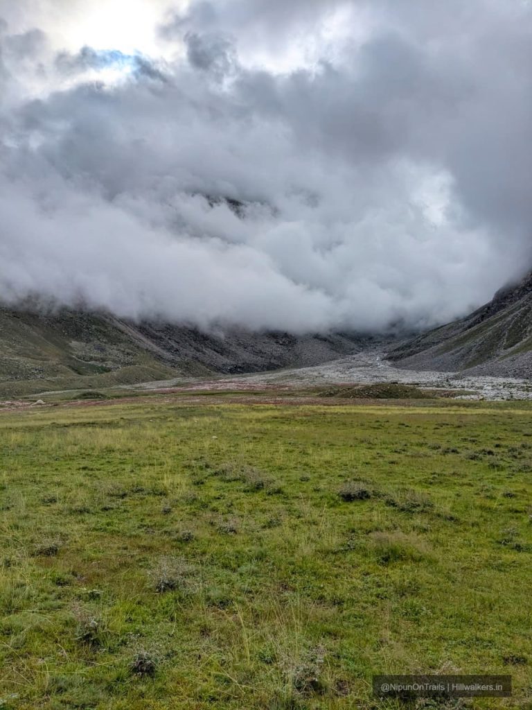
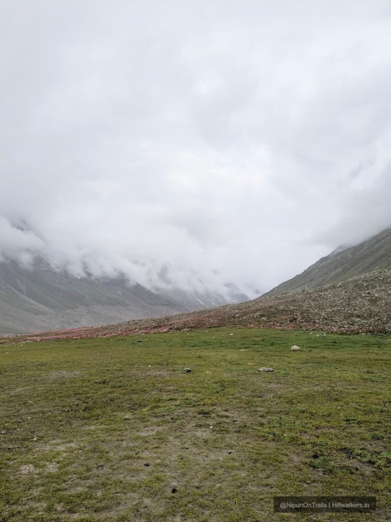
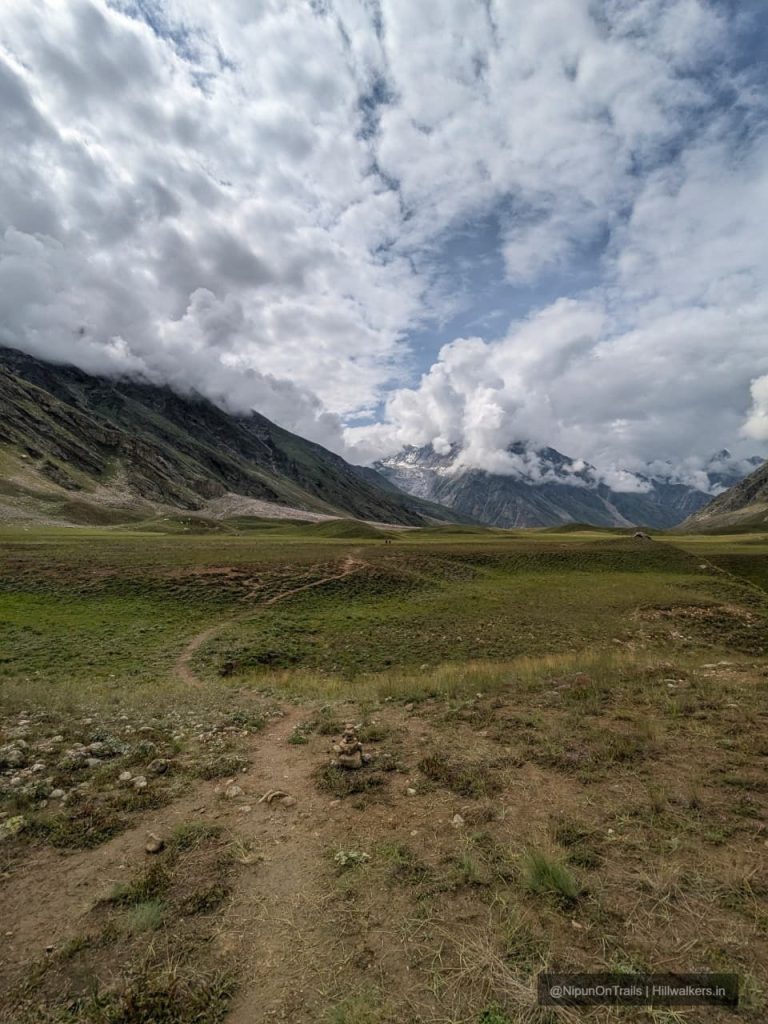
The trek begins near Khanjar, the last inhabited village in the valley. From here, the trail follows the Miyar Nala through open meadows, small streams, boulder fields and traditional grazing grounds. The gradual ascent makes the lower valley considerably less abrupt than many high altitude Himalayan treks.
As the valley narrows towards its upper reaches, the terrain becomes more rugged. Zardung is particularly distinctive for its large boulders, while the trail beyond it approaches Phalpu, near the snout of the Miyar Glacier.
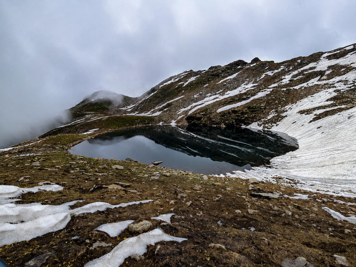
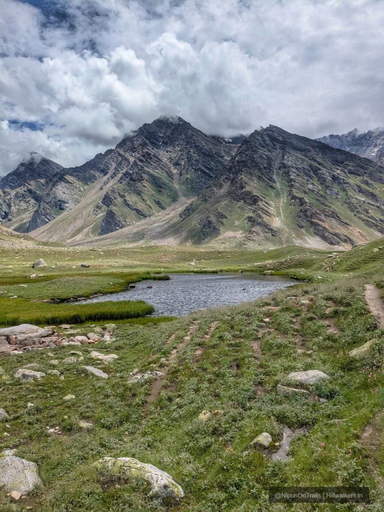
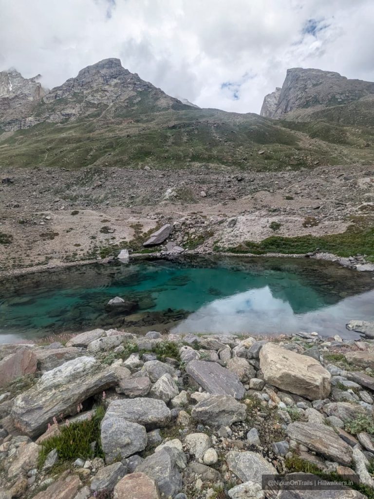
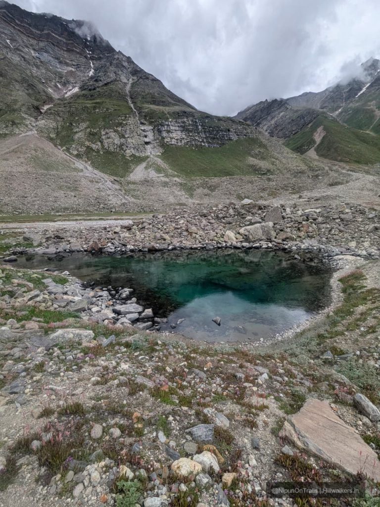
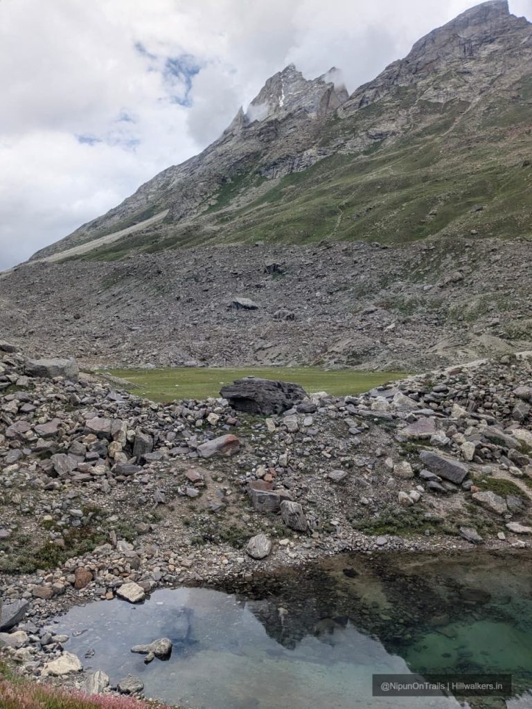
The highlight of the upper valley is Kesar Yon Chhap, commonly translated as the Seven Sacred Waters, a group of glacial lakes near the glacier snout. From here, the landscape opens towards the glaciers and high peaks surrounding the head of the valley.
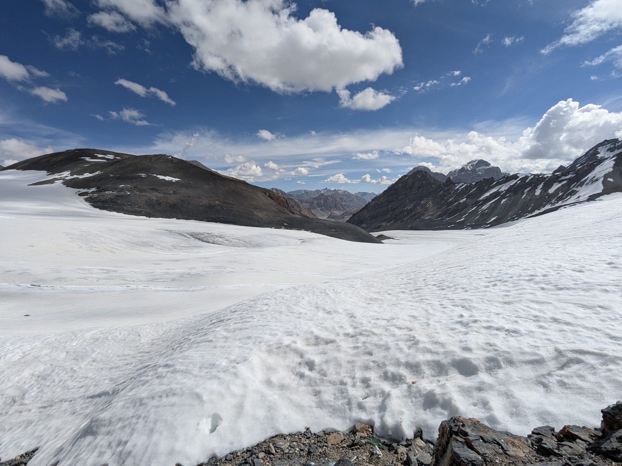
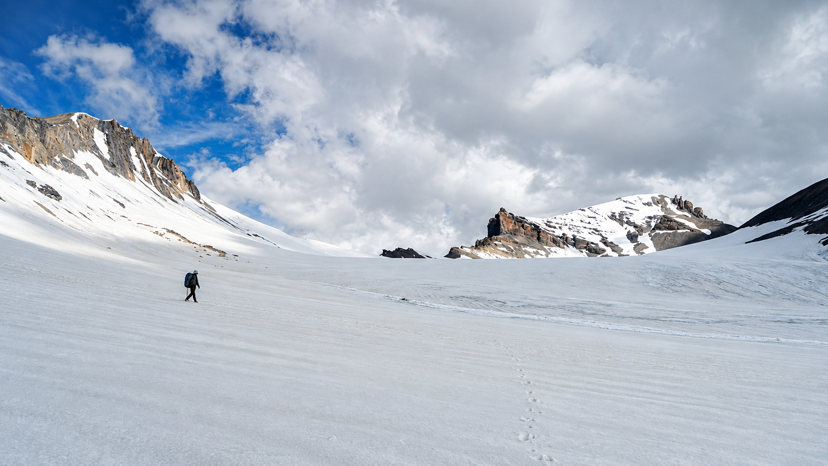
The Kang La route continues beyond this point, crossing the Miyar Glacier towards Kang La and eventually entering Zanskar. This should be treated as a separate, substantially more demanding expedition rather than an extension of the standard Miyar Valley trek.
Essentials
Water
Available at streams
Network
Not Available
Camping
Camping Allowed
Permit
Required
Food
Carry your own
Guide
Not Mandatory
What To Carry
ESSENTIALS
- Quick-dry T-shirts
- Trek pants
- Rain protection
- Sunglasses
- Headlamp / torch
- Water bottles
- Personal medicines
- Power bank
SEASONAL
- Fleece jacket
- Down jacket
- Woollen cap
- Gloves
- Extra warm socks
- Rain jacket / poncho
- Thermal layers
- Snow gaiters (where applicable)
BACKPACKING
- Tent
- Sleeping bag
- Sleeping mat
- Stove & fuel
- Cooking utensils
- Dehydrated food / meals
- Water purification
- Navigation / offline maps
OPTIONAL
- Camera
- Binoculars
- Extra snacks
- Trekking poles
- Personal comfort items
- Extra battery
- First-aid kit
Note: This checklist serves as a general guide. Adjust your gear based on weather, season, trek conditions, and personal requirements.
Routes
Khanjar → Thanpattan → Yolithang → Zardung → Phalpu → Kesar Yon Chhap
Base Village: Khanjar
Difficulty: Moderate
Duration: 3-7 Days
Distance: ~60 km
Character: Gradual valley, alpine meadows, stream crossings, and glacial terrain
The route below includes the major camps and landmarks, but these should not be treated as mandatory day wise stages. There are several camping possibilities along the valley, and trekkers can adjust their overnight stops according to pace, weather, water availability and group requirements
Khanjar → Thanpattan
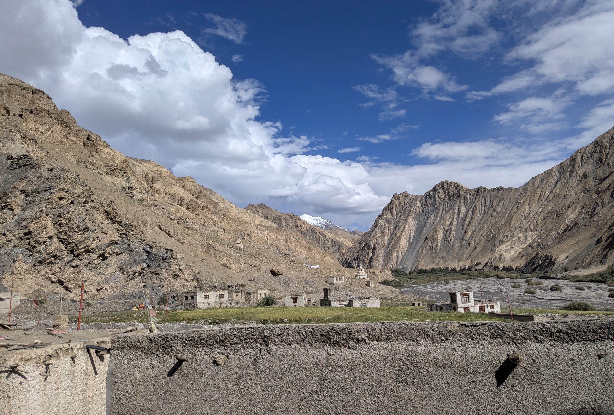
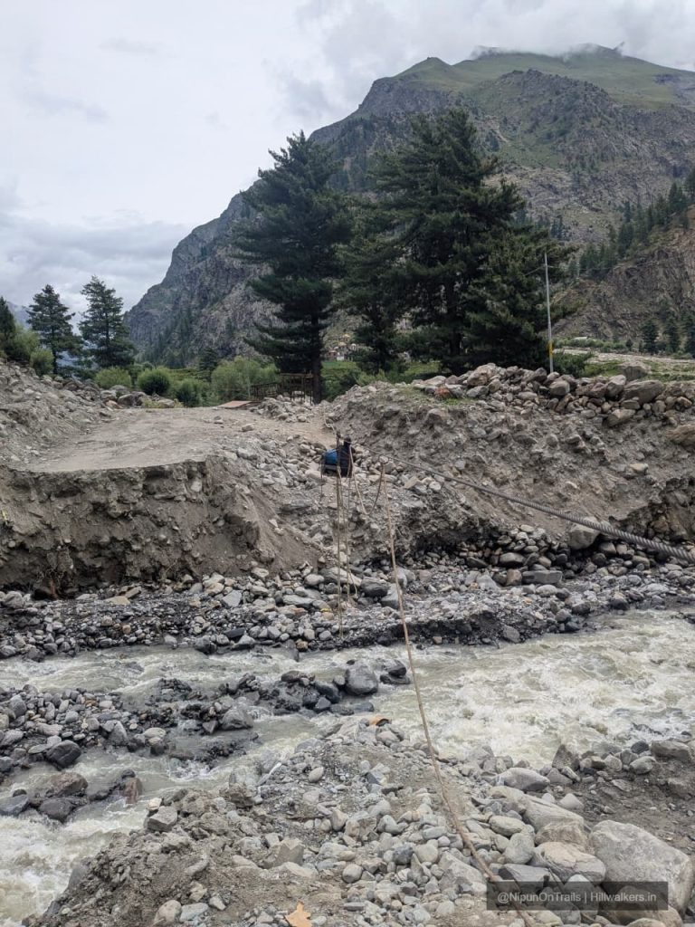
Khanjar is the last inhabited village in the Miyar Valley. From the village, the trail gradually climbs through fields and meadows before entering the wider grazing grounds.
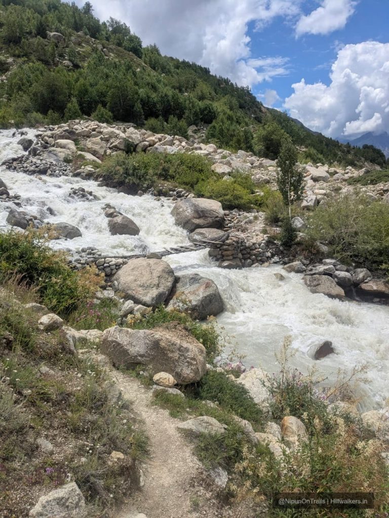
Thanpattan is one of the early camping areas, with the Miyar Nala and side streams accompanying the route. The gradient is generally gentle, making this a good section to settle into the valley’s pace.
Thanpattan → Yolithang
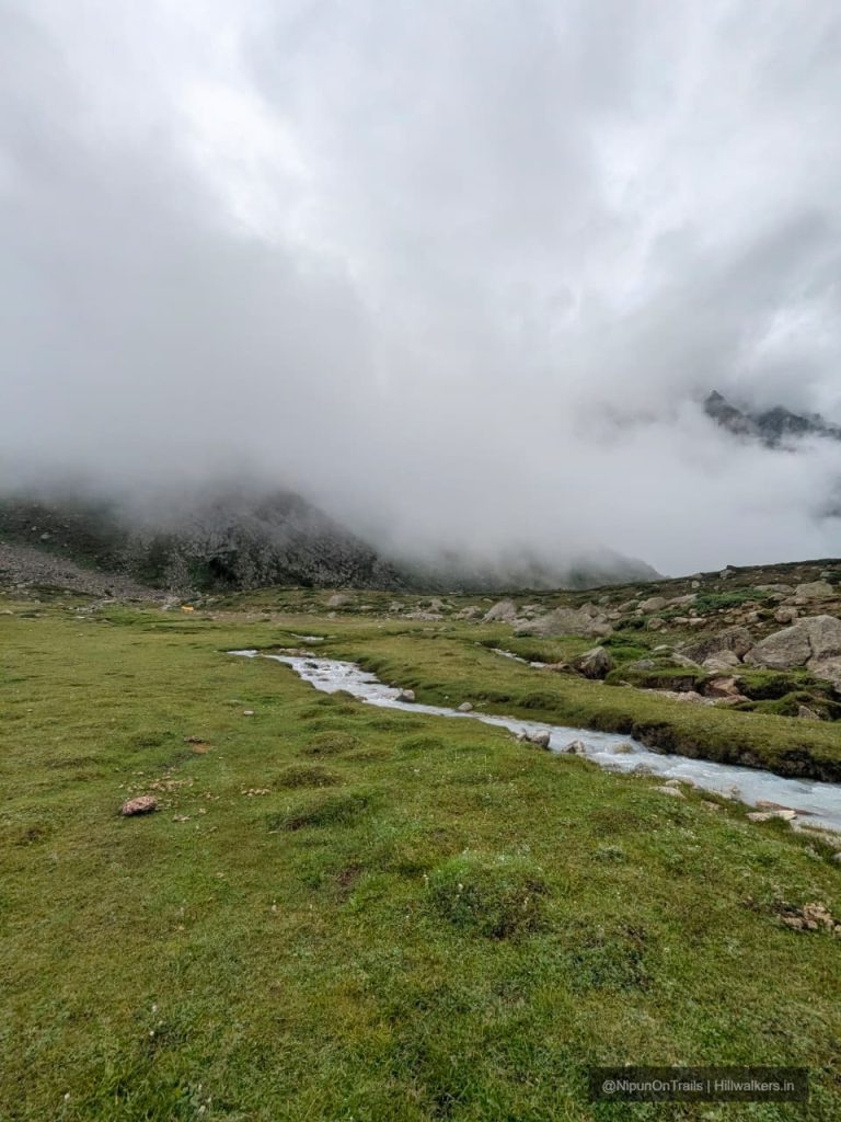
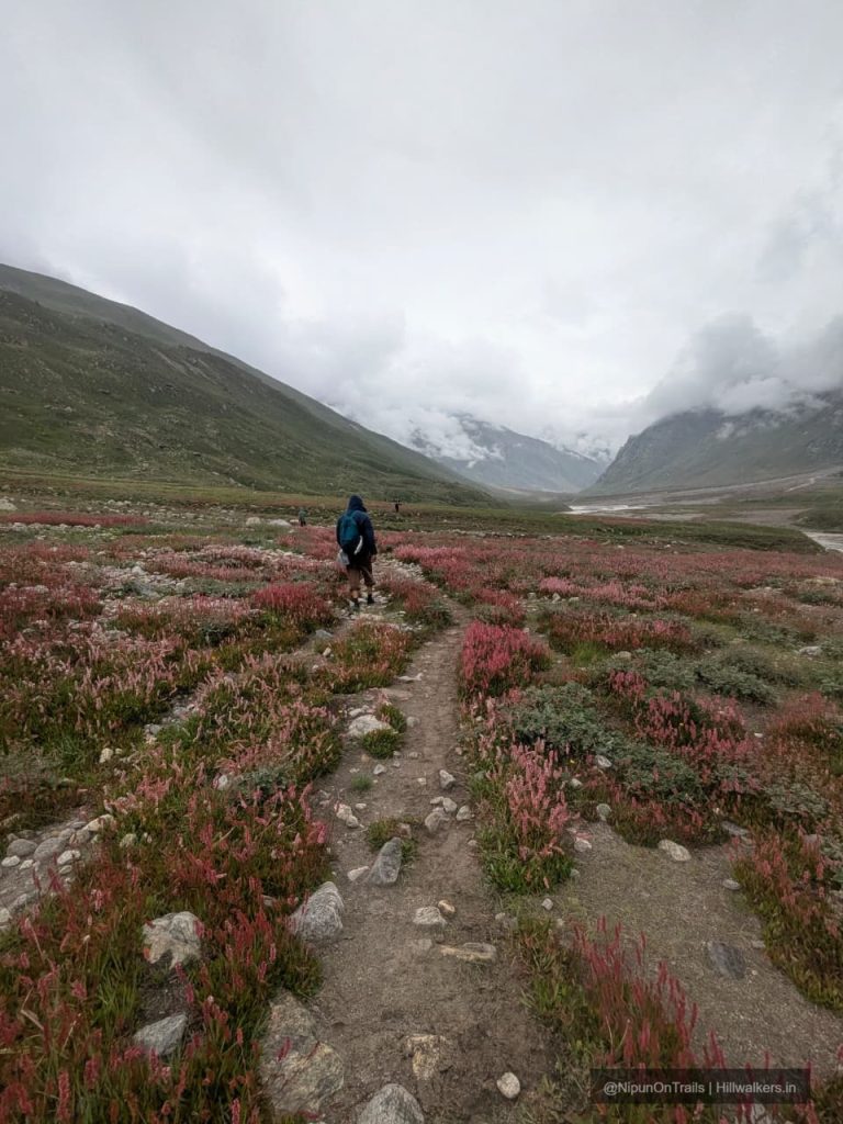
The trail continues through expansive alpine meadows with the surrounding peaks becoming increasingly prominent. Yolithang is another established camping area.
Thanpattan and Yolithang are close enough that different groups may use either one depending on their pace. Some route descriptions combine them into a single day’s movement, while others camp separately.
Yolithang → Zardung
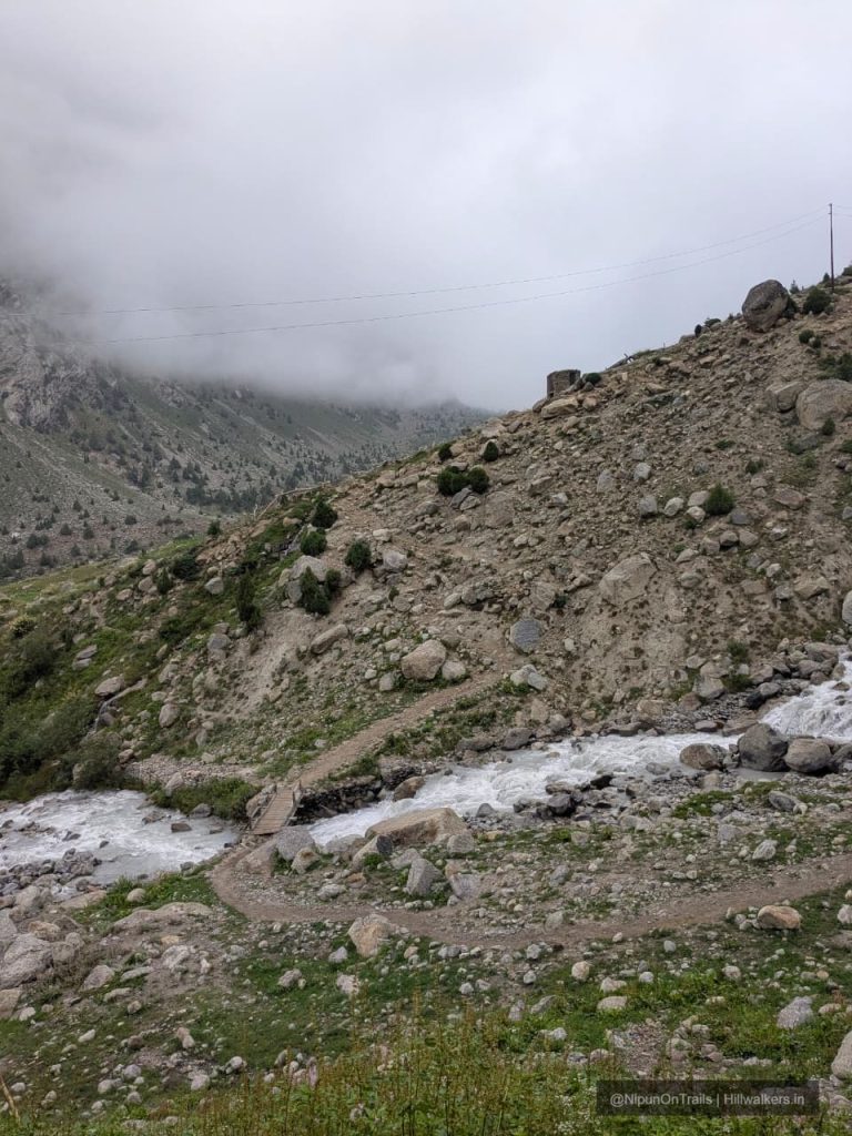
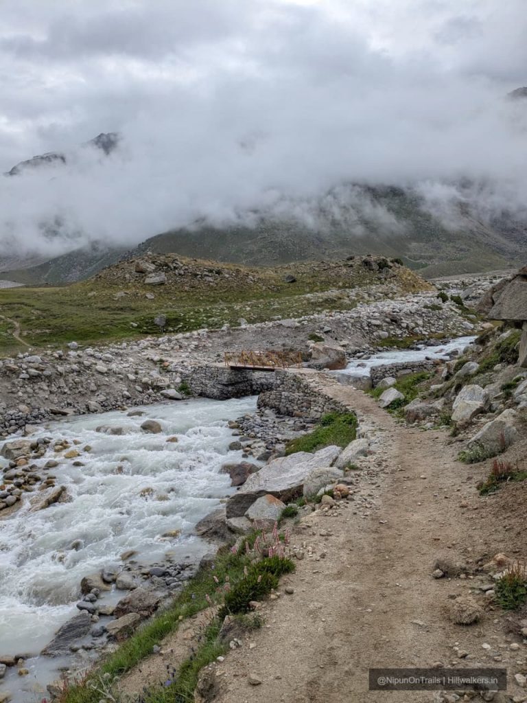
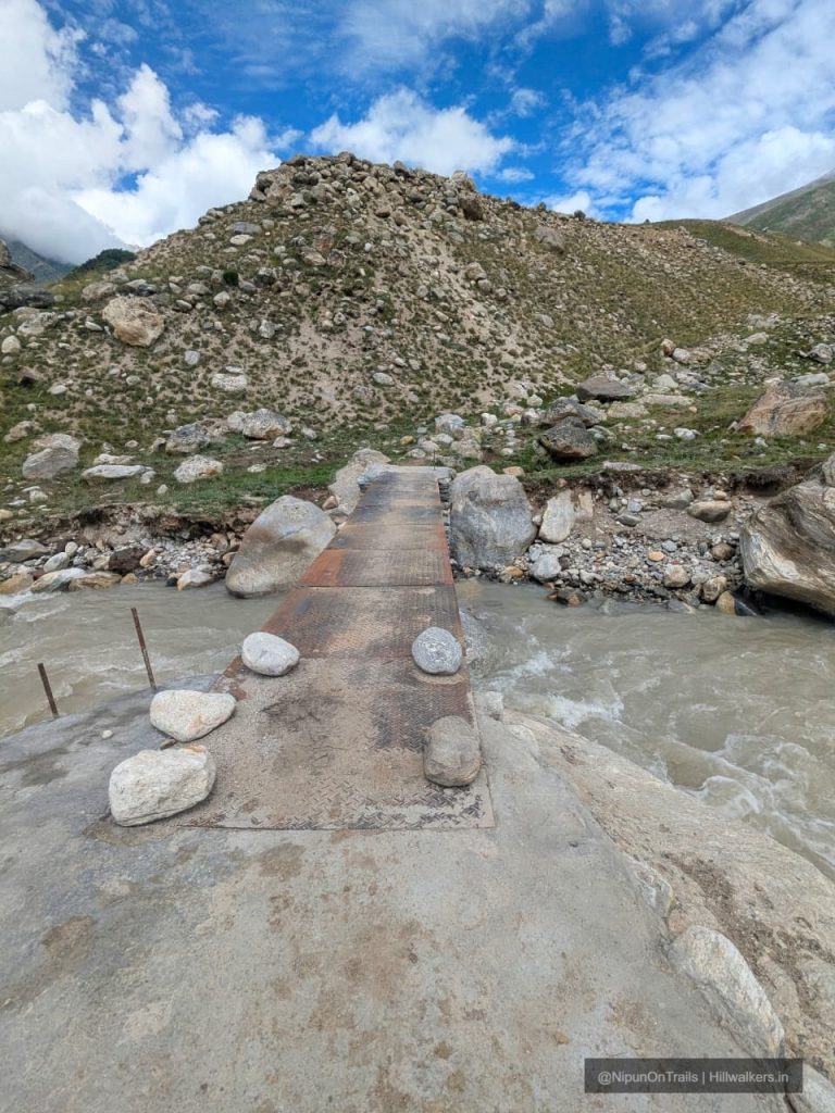
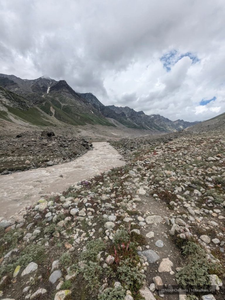
The valley becomes increasingly rugged as the trail continues towards Gompa Nala and Zardung. Expect stream crossings, boulder sections and open alpine pasture.
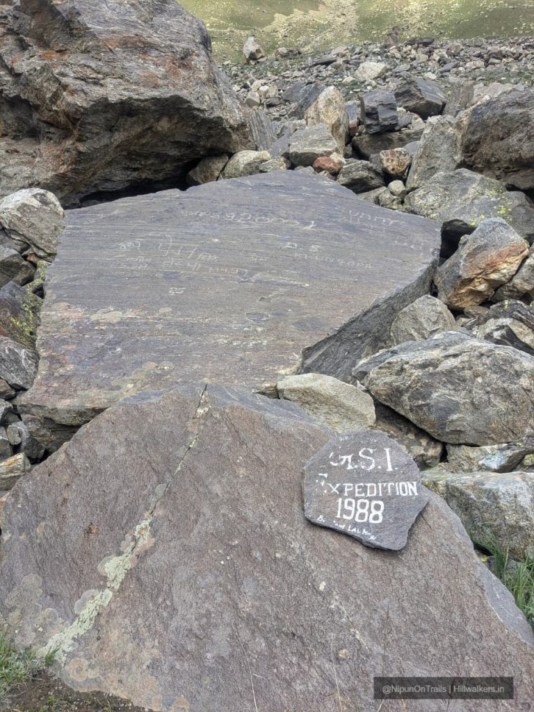
Zardung, around 3,880 m, is particularly known for its large boulders and makes an excellent camping location.
Zardung → Phalpu → Kesar Yon Chhap
This is where the character of the trek changes.
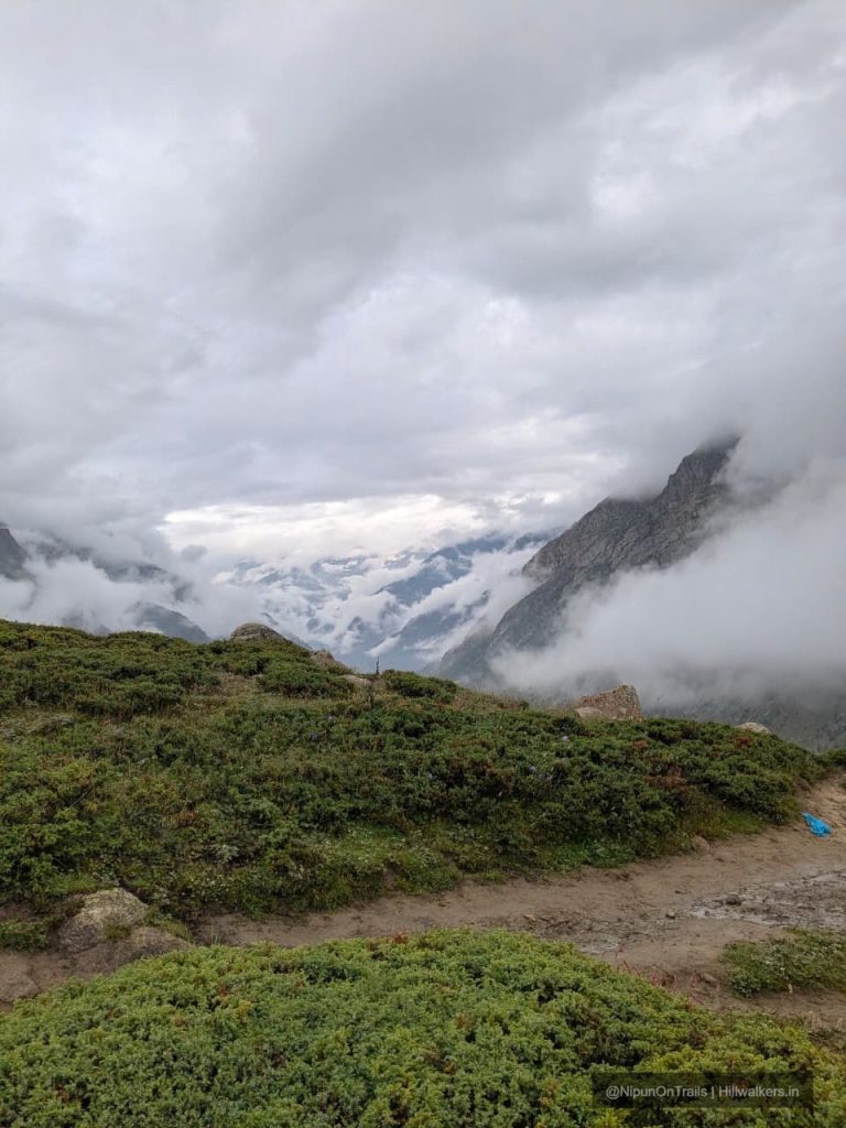
The route crosses Takdung Nala and continues towards the upper Miyar Valley. The trail becomes more rugged as it approaches the glacier landscape. Phalpu is the last major camp for the standard Miyar Valley trek.
From Phalpu, the route reaches Kesar Yon Chhap, the Seven Sacred Waters, near the snout of the Miyar Glacier. The area provides views towards the glacier and the surrounding high peaks, including Castle Peak.
Kang La Continuation
Phalpu / Kesar Yon Chhap → Miyar Glacier → Glacier Camps → Kang La → Zanskar
The trail does not end geographically at Phalpu.
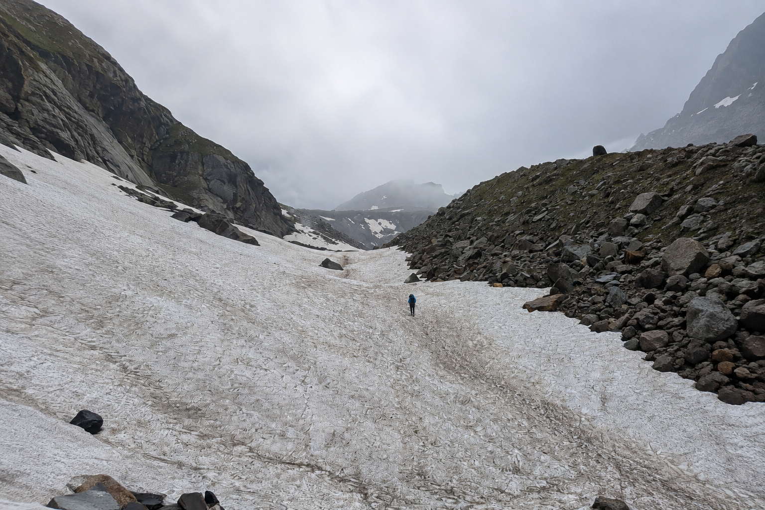
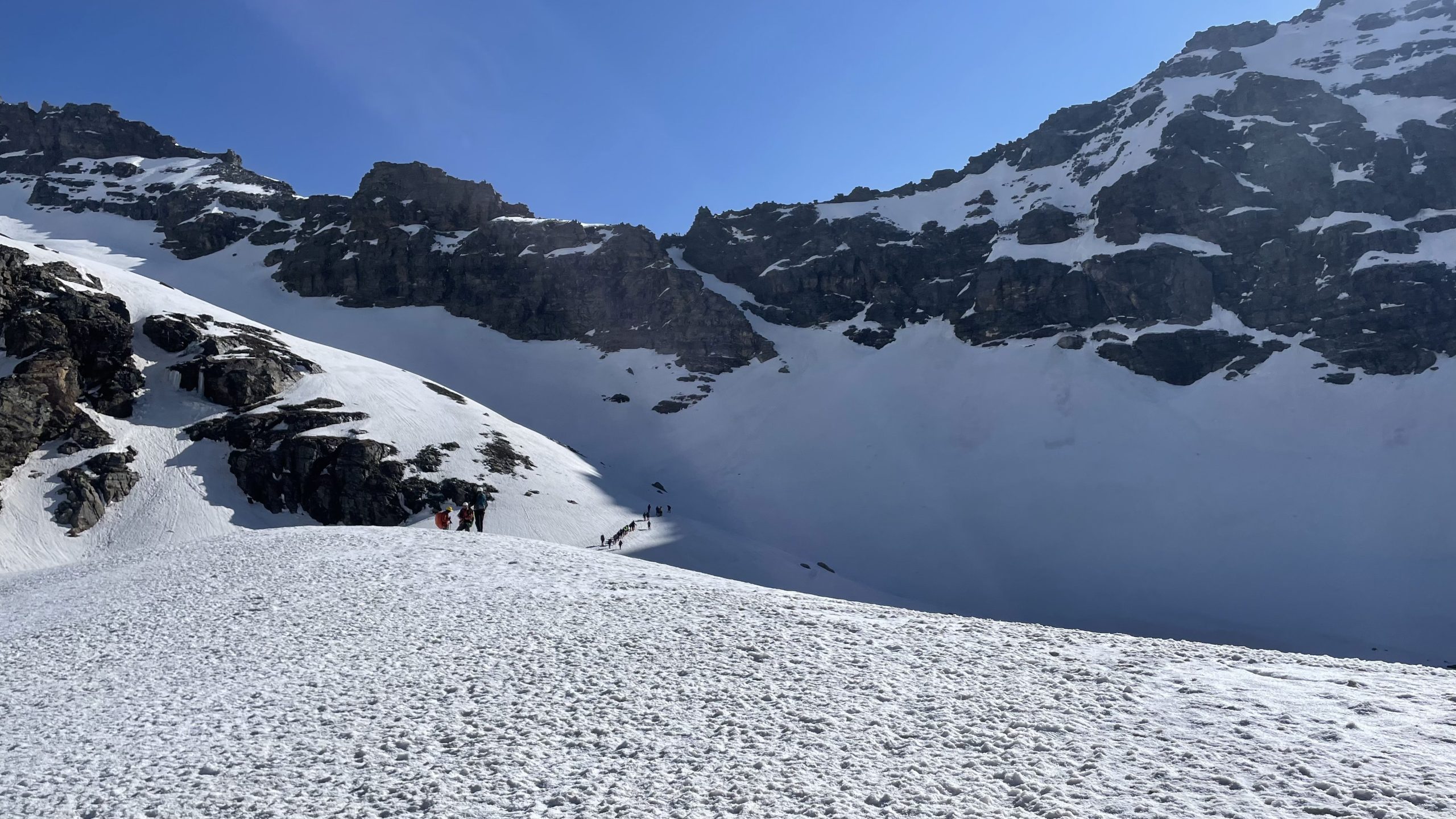
Beyond Phalpu, the Kang La route enters increasingly technical glacial terrain. Published Kang La itineraries continue from the Miyar Glacier to glacier camps and then to Kang La Jot, around 5,450–5,470 m, before descending into Zanskar.
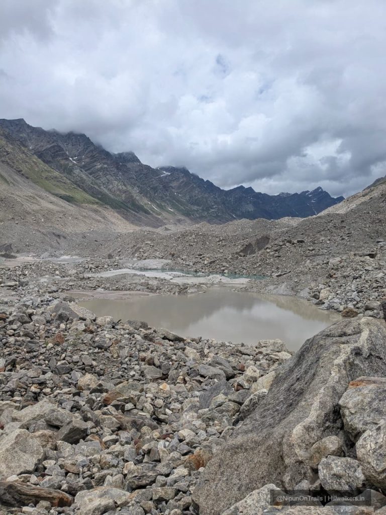
This section involves moraine, glacier travel, snow and ice, and potentially crevassed terrain. It should therefore be treated as a separate expedition route, requiring substantially more experience, equipment and planning.
How to reach
Manali and Keylong are main access point and is well connected to major cities in North India by road.
The nearest airport with regular commercial connectivity is Bhuntar Airport. Chandigarh is another practical option for travellers arriving by air.
Manali → Khanjar
Manali → Atal Tunnel → Sissu → Tandi → Udaipur → Urgos → Shukto → Khanjar
The road enters Miyar Valley from the Udaipur side. Current road access reaches Shukto, near the Khanjar bridge, from where the trek begins. Some current itineraries drive all the way towards Khanjar before starting the trek.
Bus from Manali to Keylong are frequent and keylong to udaipur as well.
From udaipur, only one scheduled bus goes till Shukto at 4:30 PM everyday.
Map & Location
Base Village: Khanjar
District: Lahaul and Spiti
State: Himachal Pradesh
Nearest Railway Station: Chandigarh
Nearest Airport: Bhuntar
Region: Lahaul
Safety
Fit Beginners
Regular Trekkers
Moderate fitness recommended
Weather can change quickly, water crossings can be cold
Nearest Town : Shukto, Udaipur
Carry current local emergency and rescue contacts before starting the trek
Gallery
FAQ
Didn’t find your question here? Contact us and we’ll be happy to help.