Hampta Pass
A high altitude crossover trek from the green valleys of Kullu to the stark landscapes of Lahaul.
Quick Info
Altitude
4270m
Difficulty
Easy Moderate
Distance
~22-27 Km
Base Village
Jobra
Duration
2-5 Days
Best Season
June – September
Highlights
- High altitude crossover from Kullu Valley to Lahaul
- Hampta Pass at around 4,270 m
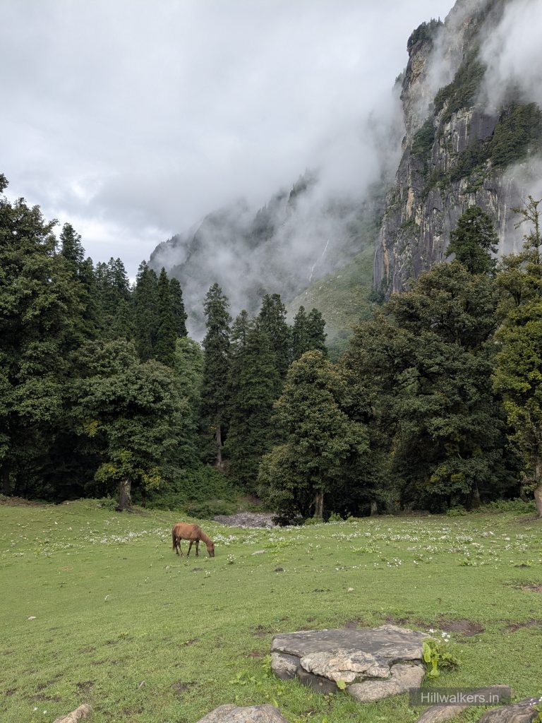
- Green forests and meadows around Chika
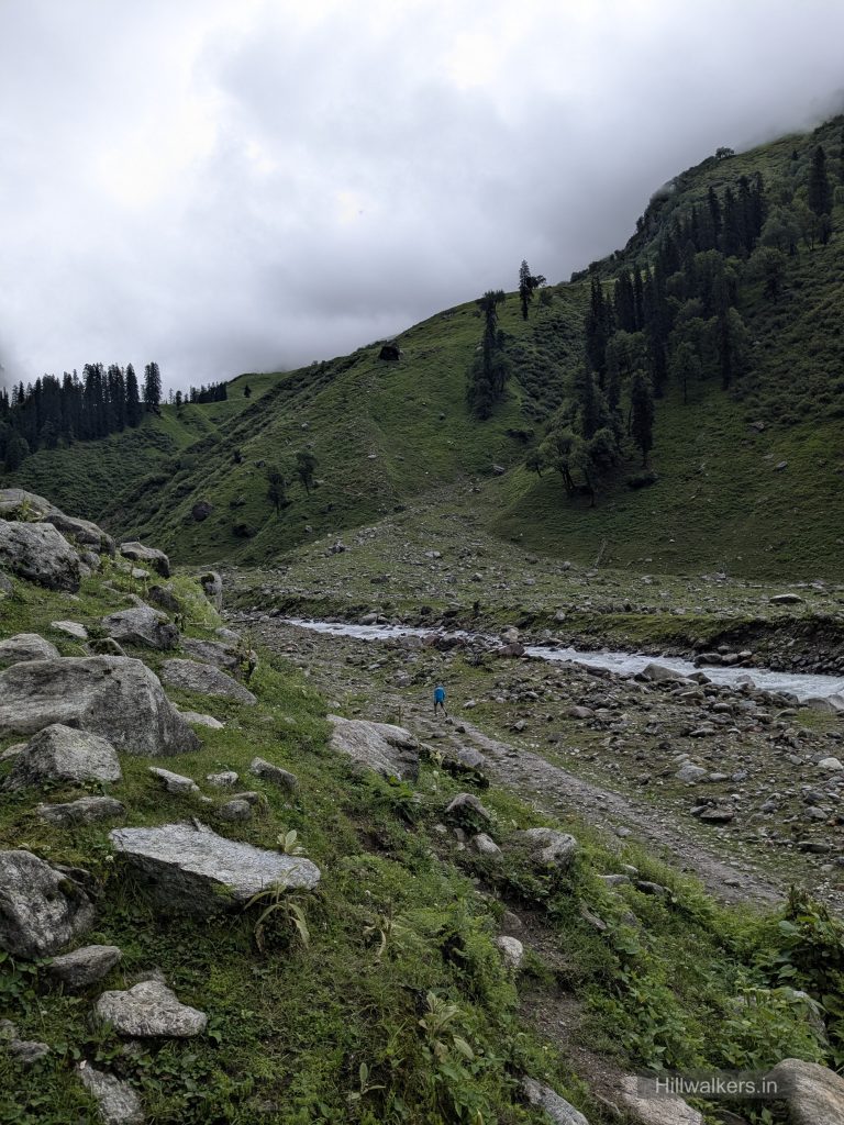
- Rani Nallah and multiple stream crossings
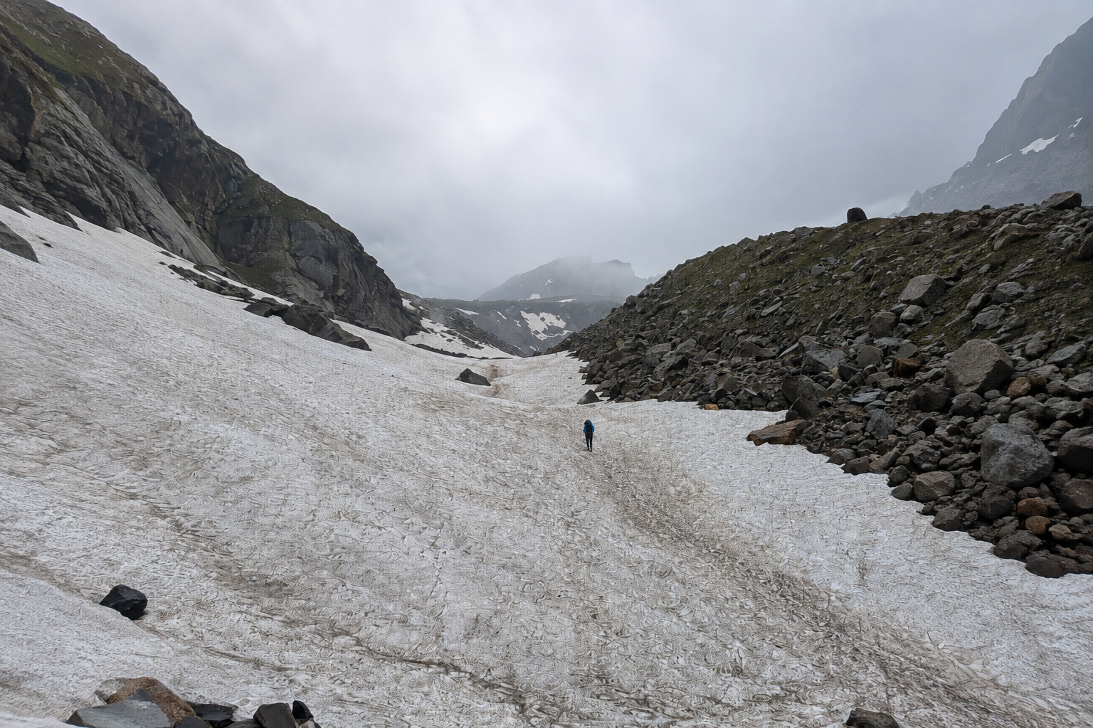
- Snow patches around the higher sections early in the season
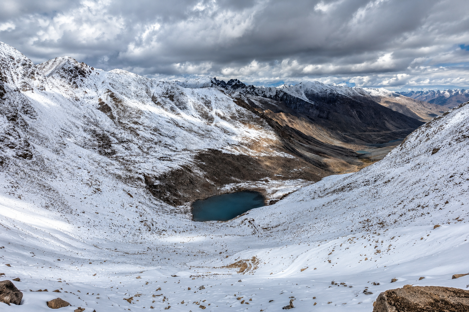
- Dramatic change in landscape after crossing the pass
- Dry, rugged terrain around Shea Goru and Chatru
- Optional Chandratal extension from Chatru
Overview
Hampta Pass is a high altitude crossover trek in Himachal Pradesh that connects the greener Kullu Valley with the dry and rugged landscapes of Lahaul.
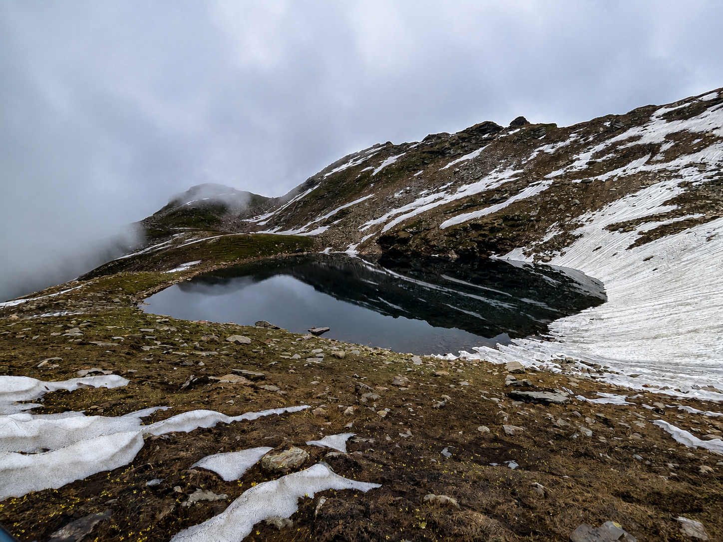
The trail starts from Jobra and gradually moves through forests, open meadows, streams and rocky terrain before climbing towards Hampta Pass at around 4,270 m.
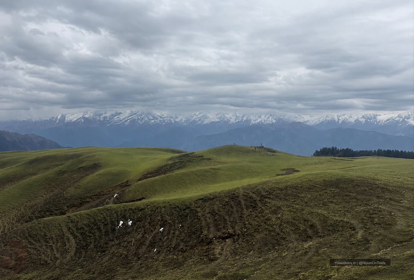
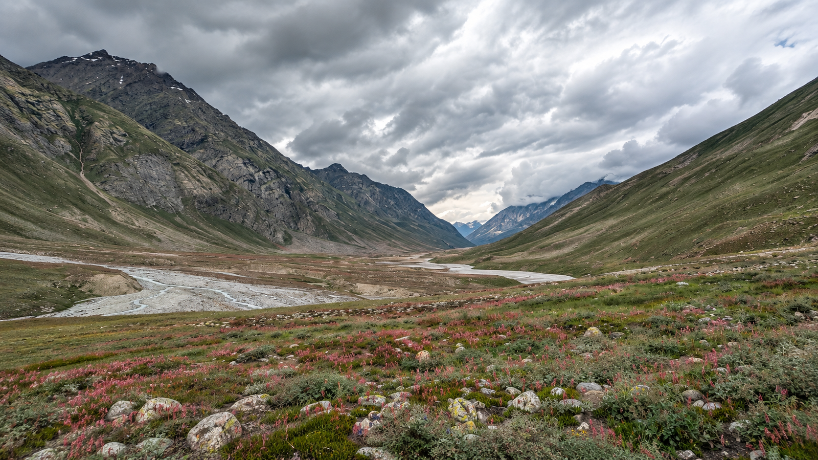
The biggest attraction of the trek is the change in landscape. The approach from the Kullu side is green and relatively lush, while the descent on the other side of the pass takes you into the much drier terrain of Lahaul.
The trek is relatively short compared with many other Himalayan pass crossings, but it packs several different types of terrain into a few days.
Hampta Pass is generally considered a moderate trek. It can be suitable for fit beginners, but the pass day should not be underestimated. The combination of altitude, steep sections, loose terrain, stream crossings and changing weather makes preparation important.
Essentials
Water
Multiple Streams throughout
Network
NA
Camping
Designated campsites
Permit
Check Locally
Food
Carry / Seasonal Camps
Guide
Recommended
What To Carry
ESSENTIALS
- Quick-dry T-shirts
- Trek pants
- Rain protection
- Sunglasses
- Headlamp / torch
- Water bottles
- Personal medicines
- Power bank
SEASONAL
- Fleece jacket
- Down jacket
- Woollen cap
- Gloves
- Extra warm socks
- Rain jacket / poncho
- Thermal layers
- Snow gaiters (where applicable)
BACKPACKING
- Tent
- Sleeping bag
- Sleeping mat
- Stove & fuel
- Cooking utensils
- Dehydrated food / meals
- Water purification
- Navigation / offline maps
OPTIONAL
- Camera
- Binoculars
- Extra snacks
- Trekking poles
- Personal comfort items
- Extra battery
- First-aid kit
Note: This checklist serves as a general guide. Adjust your gear based on weather, season, trek conditions, and personal requirements.
Routes
Jobra – Chika – Balu Ka Ghera – Hampta Pass – Shea Goru – Chatru
Base Village: Jobra
Difficulty: Easy Moderate🟢
Duration: 2-5 Days
Distance: ~22-27 km
Character: Forests, meadows, streams, rocky terrain, pass crossing and dry Lahaul landscape
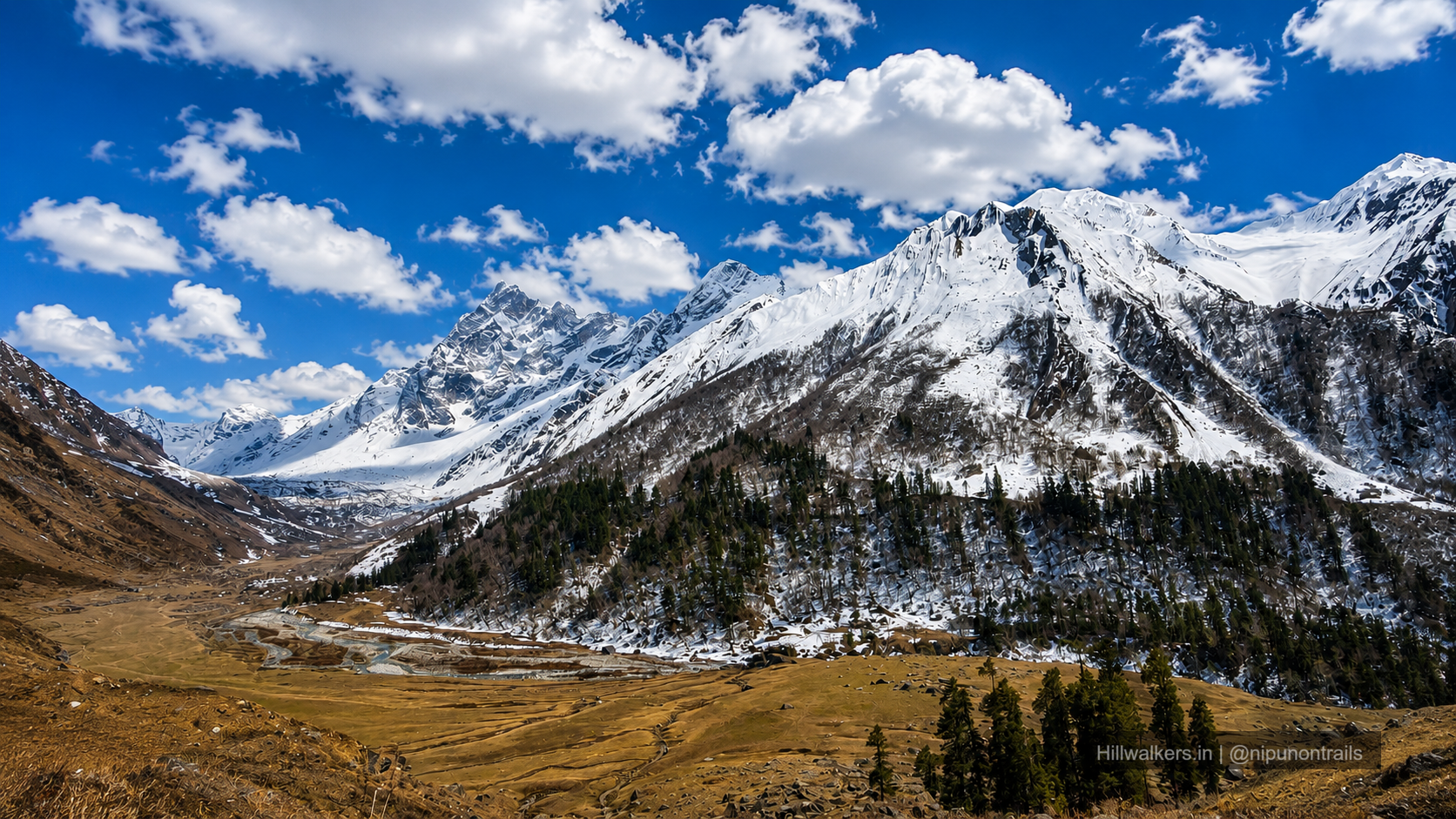
The trail begins from Jobra and gradually climbs through forest before opening into the Hampta Valley.
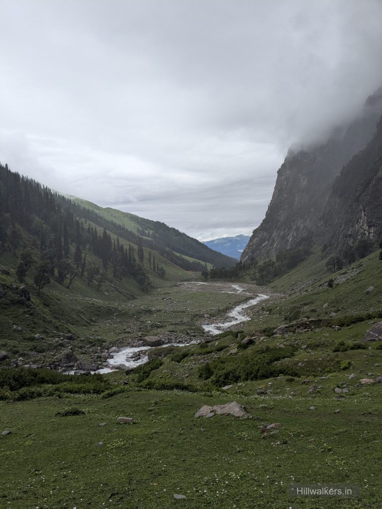
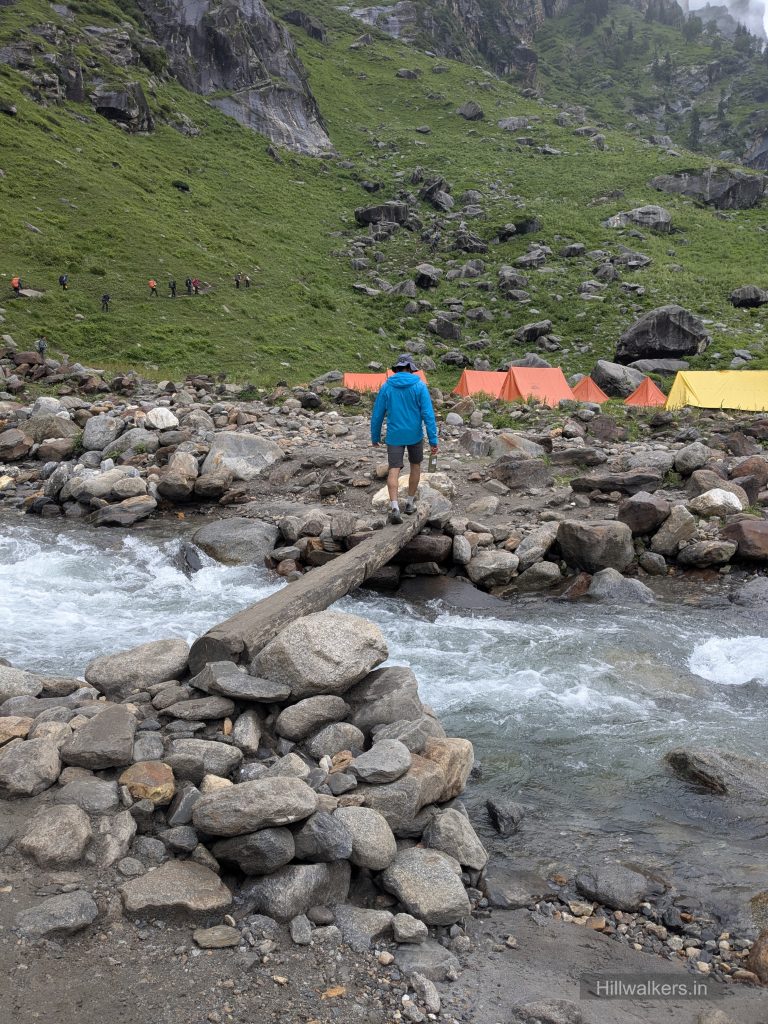
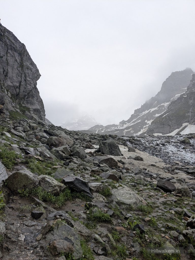
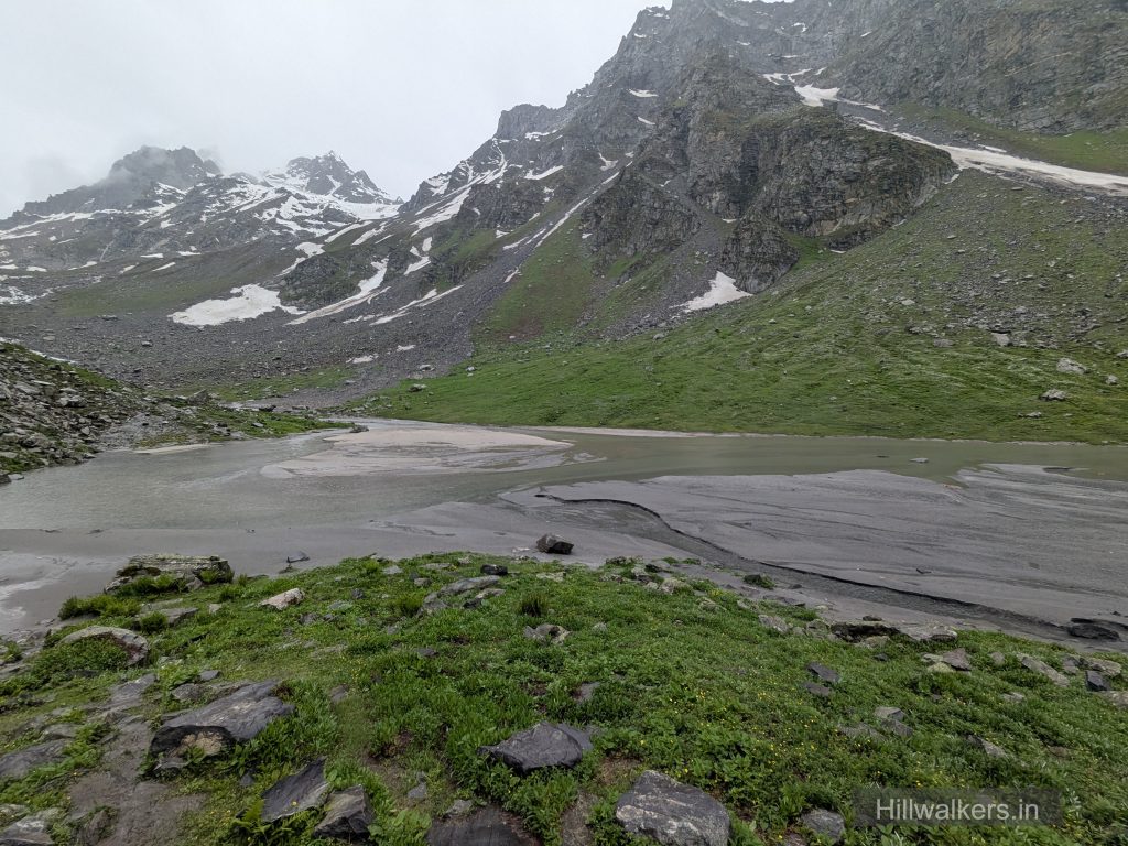
From Chika, the route continues along the valley towards Balu Ka Ghera. The landscape becomes more open and rocky, with several stream crossings depending on the season and weather.
The most demanding section comes on the third day, when the trail climbs from Balu Ka Ghera to Hampta Pass and then descends towards Shea Goru.
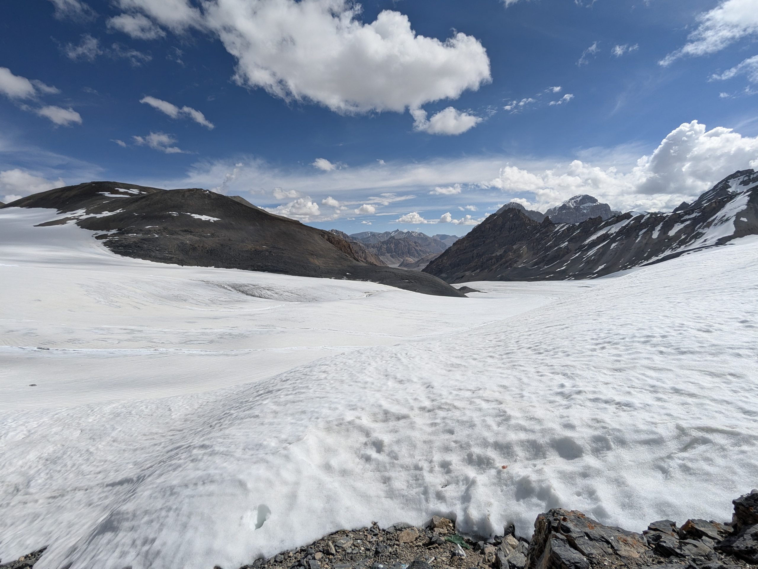
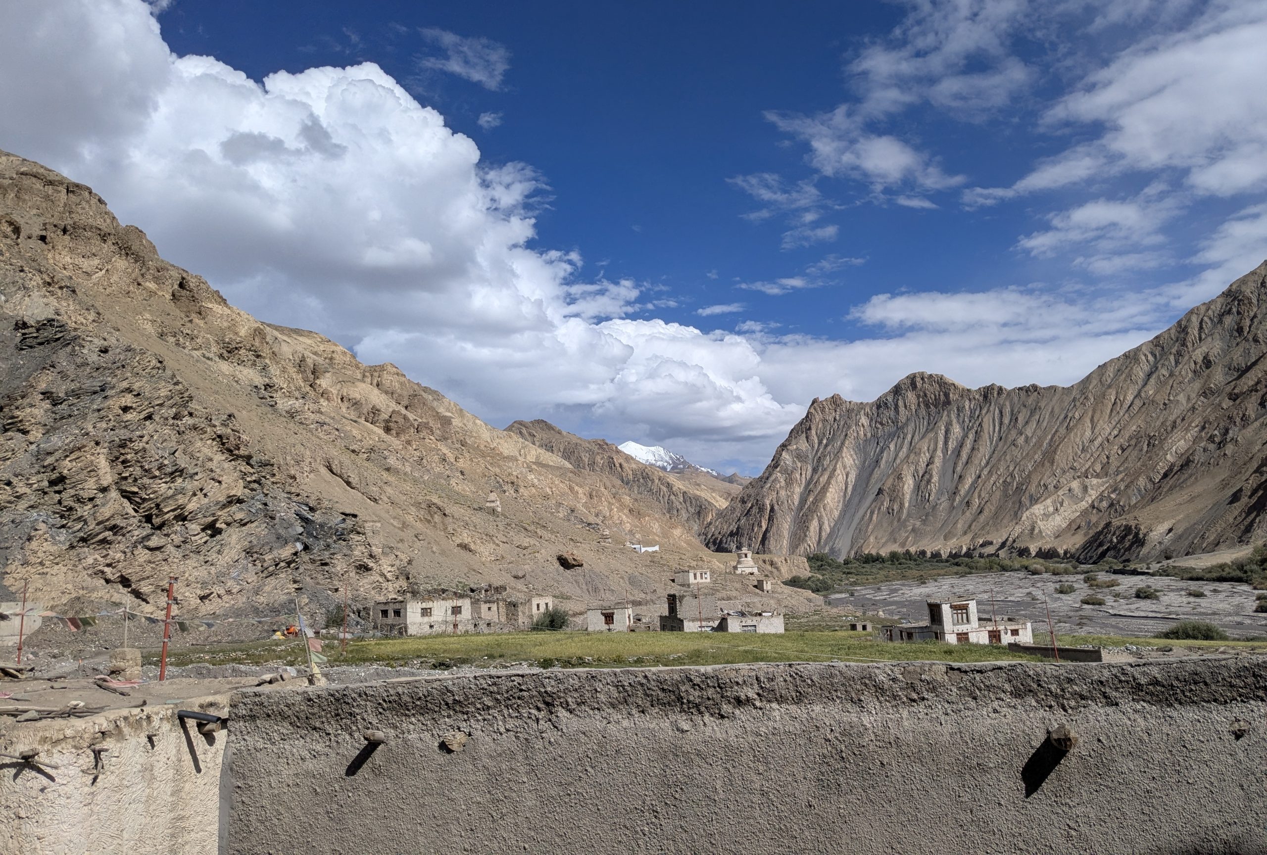
After crossing the pass, the character of the landscape changes noticeably. The green Kullu side gives way to the dry and rugged terrain of Lahaul.
The trek ends at Chatru, which is connected by road and is also the usual starting point for the optional Chandratal extension.
Suggested Itinerary
The following is a practical 4 day itinerary for the standard Hampta Pass route from Jobra to Chatru. Distances and walking times are approximate and can vary with the exact trail, weather, snow, stream crossings and individual pace.
Day 1: Manali → Jobra → Chika
Drive: Manali to Jobra
Trek: Jobra → Chika
Distance: ~3 km
Trekking Time: ~2–3 hours
Altitude: ~3,000 m
The trek begins from Jobra after a short drive from Manali. The trail initially passes through forest before opening into the Hampta Valley. The first day is relatively short, allowing time to settle into the trail and altitude.
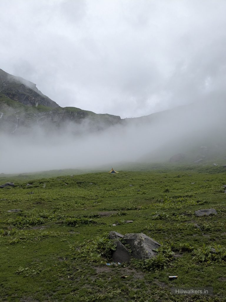
Chika is a common first campsite, located along the Rani Nallah.
Day 2: Chika → Balu Ka Ghera
Distance: ~8–9 km
Trekking Time: ~5–7 hours
Altitude: ~3,750 m
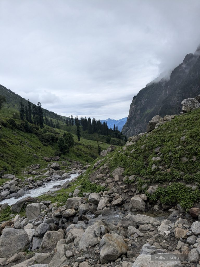
The trail continues deeper into the Hampta Valley through open meadows, rocky sections and streams. The route gradually gains altitude and becomes more exposed as you move towards Balu Ka Ghera.
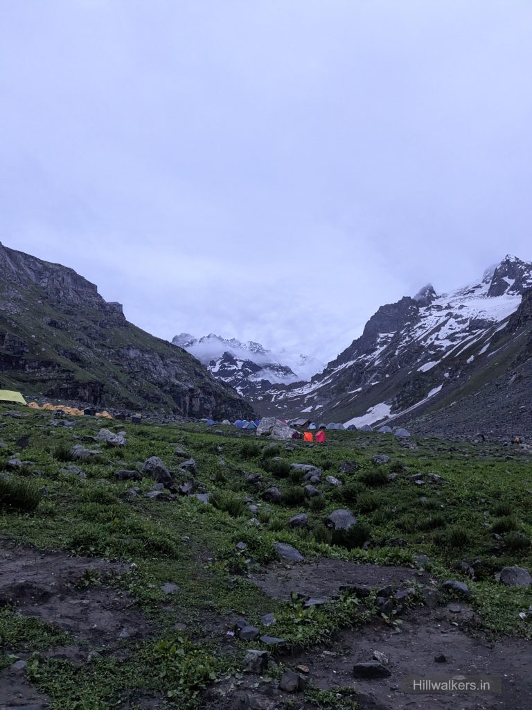
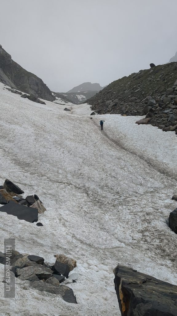
Depending on the season, snow patches may still be present in the higher sections. Stream crossings can also become more significant after rainfall or during periods of snowmelt.
Day 3: Balu Ka Ghera → Hampta Pass → Shea Goru
Distance: ~8–9 km
Trekking Time: ~7–9 hours
Highest Point: Hampta Pass, ~4,270 m
This is the most demanding day of the trek.
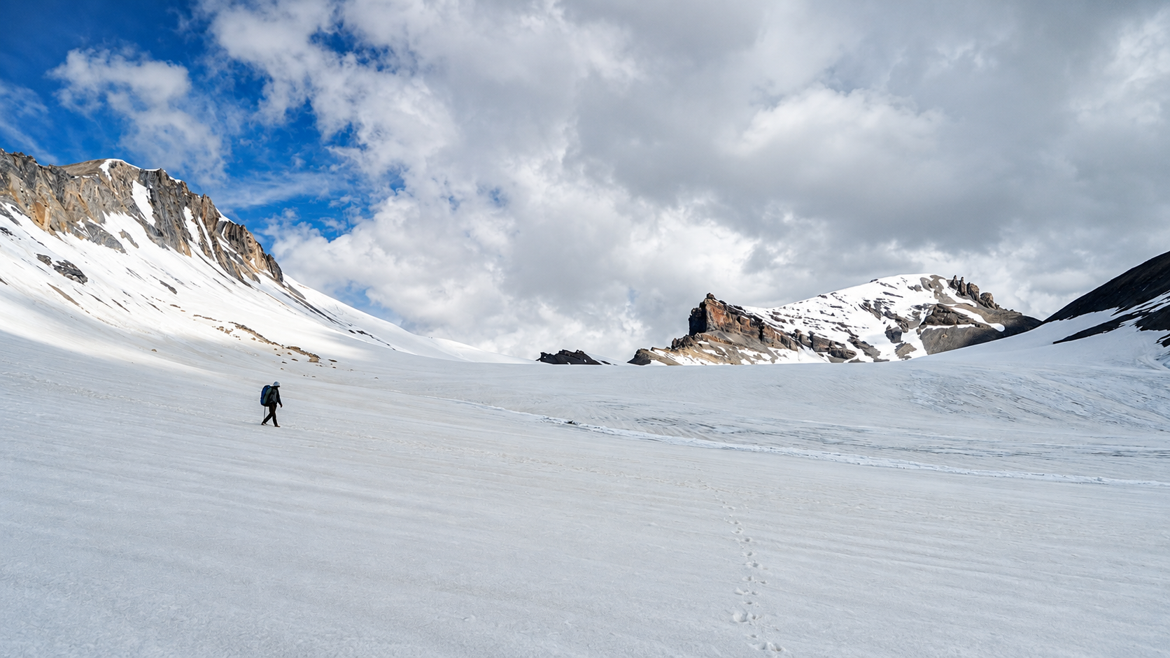
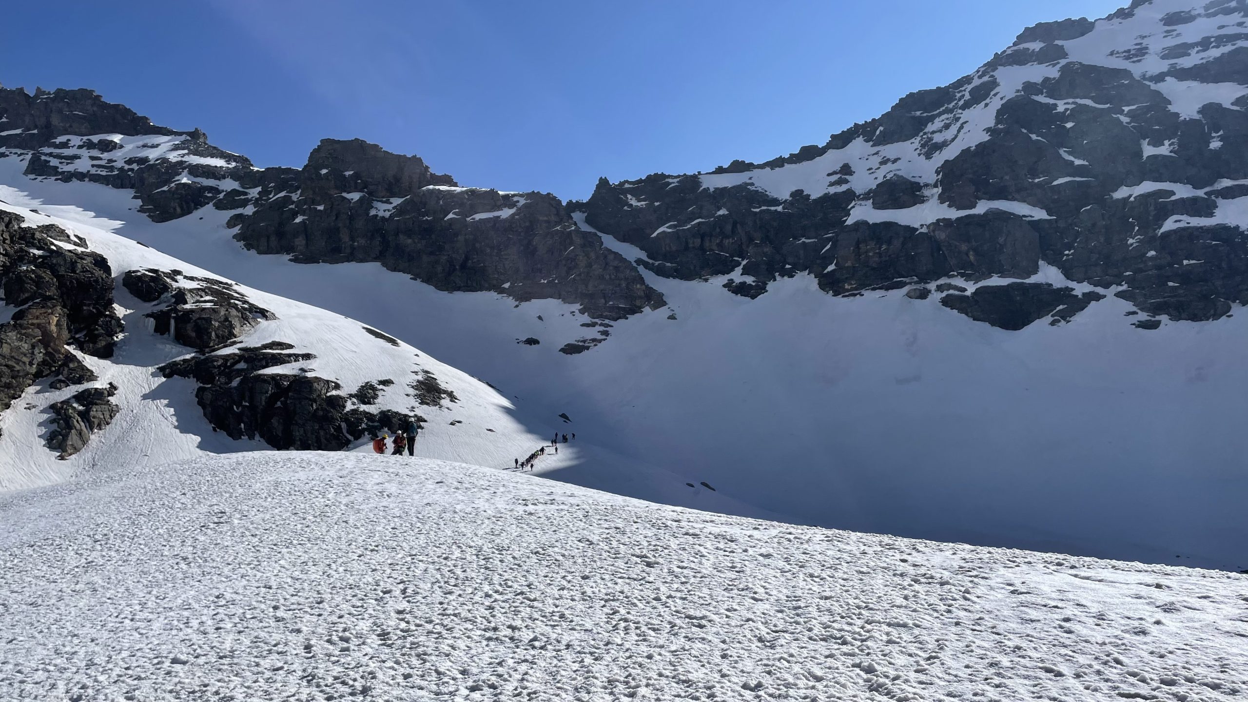
The trail climbs steadily from Balu Ka Ghera towards Hampta Pass. The gradient becomes steeper and the terrain more rocky as you gain altitude. Snow can remain around the higher sections depending on the season.
After reaching Hampta Pass, the trail descends towards Shea Goru on the Lahaul side. The descent can be steep and loose in sections, requiring careful foot placement.
The landscape also changes dramatically after crossing the pass, from the greener Kullu side to the dry and rugged terrain of Lahaul.
Day 4: Shea Goru → Chatru
Distance: ~6–7 km
Trekking Time: ~3–4 hours
Altitude: Descend to ~3,300 m
Trek End: Chatru
The final trekking section gradually descends through the dry and rugged landscape of Lahaul towards Chatru.
Compared with the previous day, the walking is less demanding, although the rocky terrain still requires attention.
Chatru is the usual roadhead where the trekking section ends.
Chandratal Extension
Chandratal is commonly added to the Hampta Pass itinerary after reaching Chatru. It is important to note that Chandratal is not part of the core Hampta Pass trekking route. The journey from Chatru to Chandratal is generally by vehicle and is dependent on road and weather conditions
How to reach
Jobra – Manali
Manali is the main access point for Hampta Pass. The trekking route begins from Jobra, which is reached by road from Manali.
Map & Location
Base Village: Jobra – Manali
District: Kullu
State: Himachal Pradesh
Nearest Railway Station: Chandigarh
Nearest Airport: Bhuntar
Region: Kullu – Lahaul
Safety
Fit Beginners
Regular Trekkers
Moderate fitness recommended
Weather can change Quickly, so be prepared
Nearest Village : Jobra, Sethan -Manali
Gallery
FAQ
Didn’t find your question here? Contact us and we’ll be happy to help.