Har Ki Dun
Quick Info
Altitude
3566 m
Difficulty
Easy Moderate
Distance
~32 Km
Base Village
Sankri
Duration
4-5 Days
Best Season
April – June
Highlights
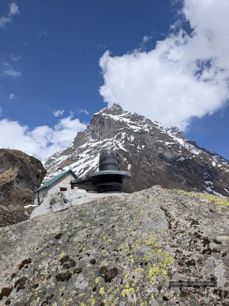
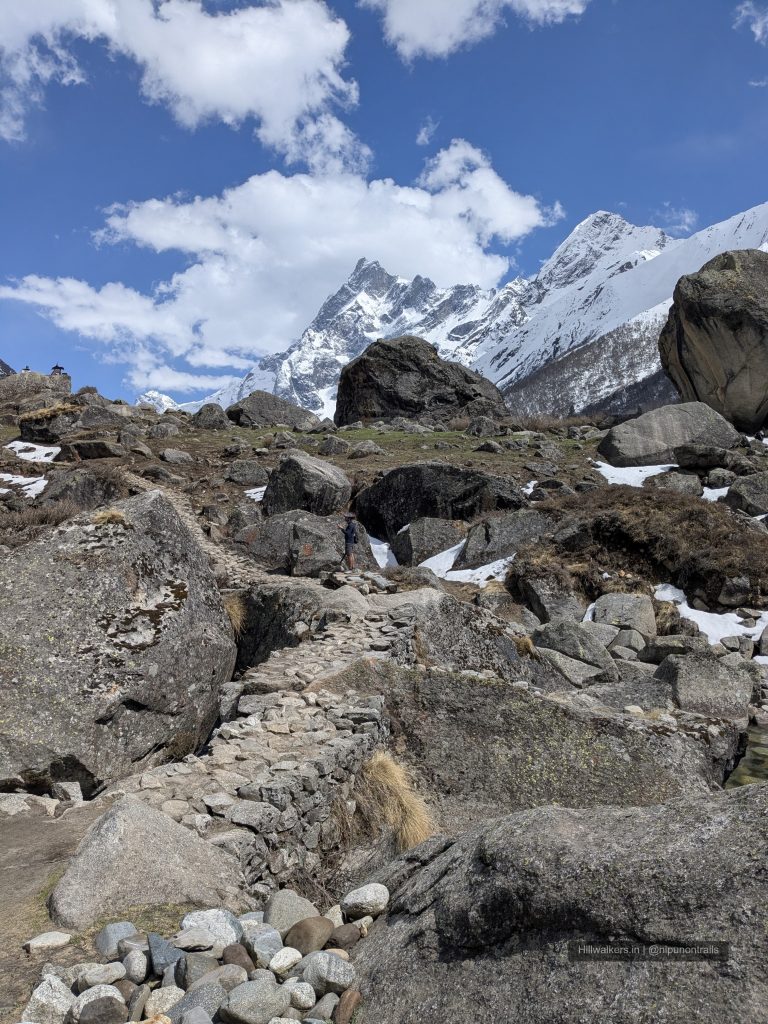
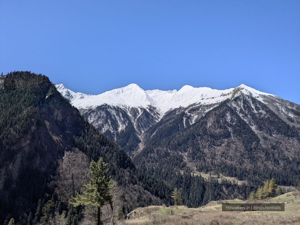
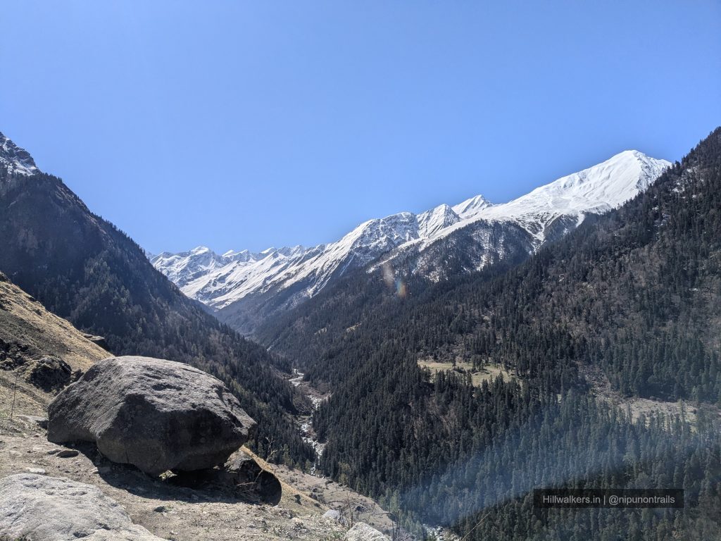
- Views of Swargarohini, Black peak and surrounding peaks
- Traditional villages like Gangad and Osla
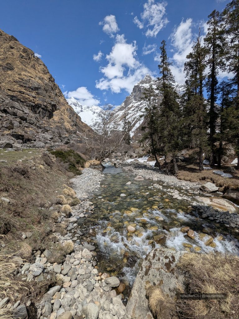
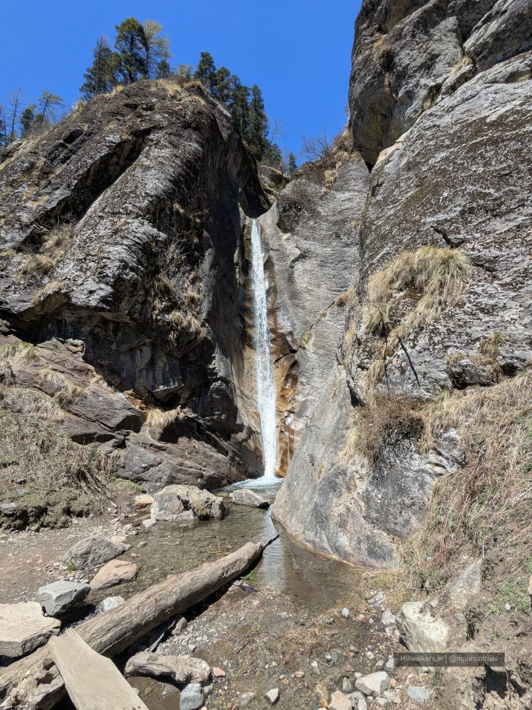
- Forest trails along the Supin River
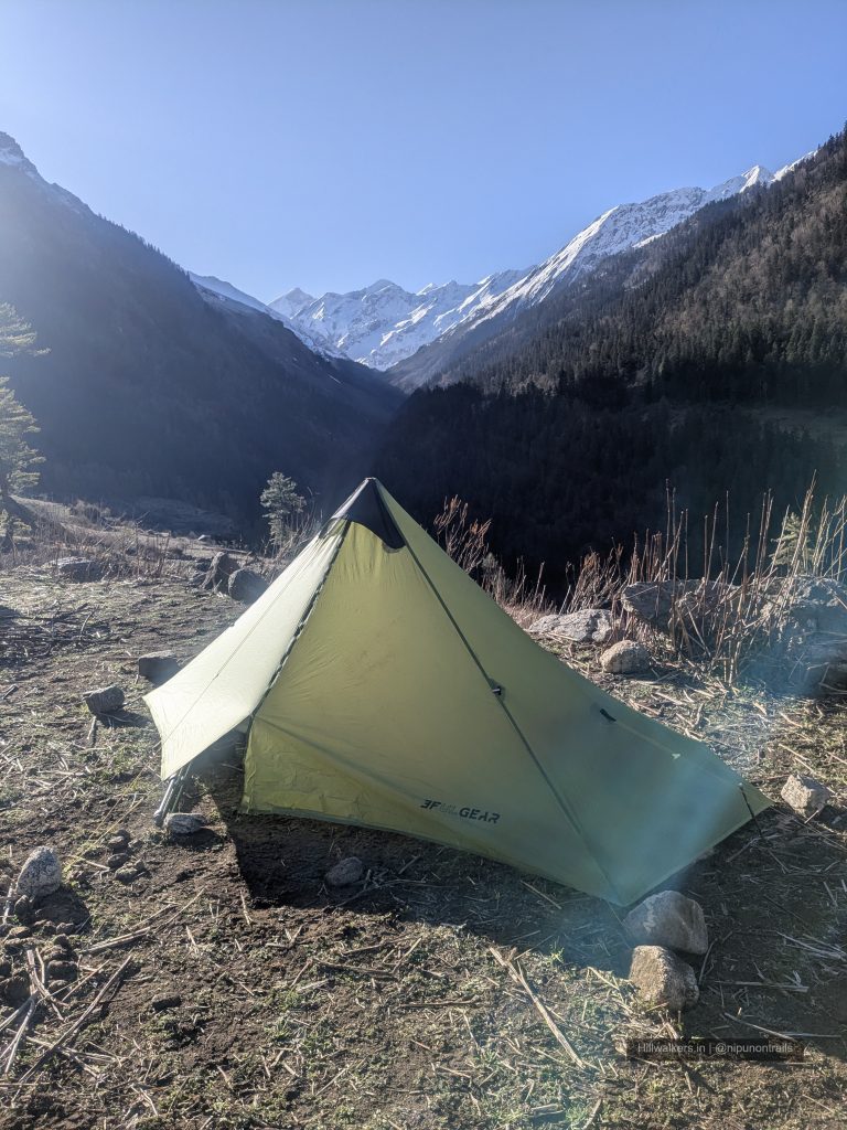
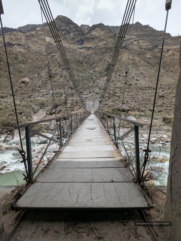
- Wooden bridges and riverside camps
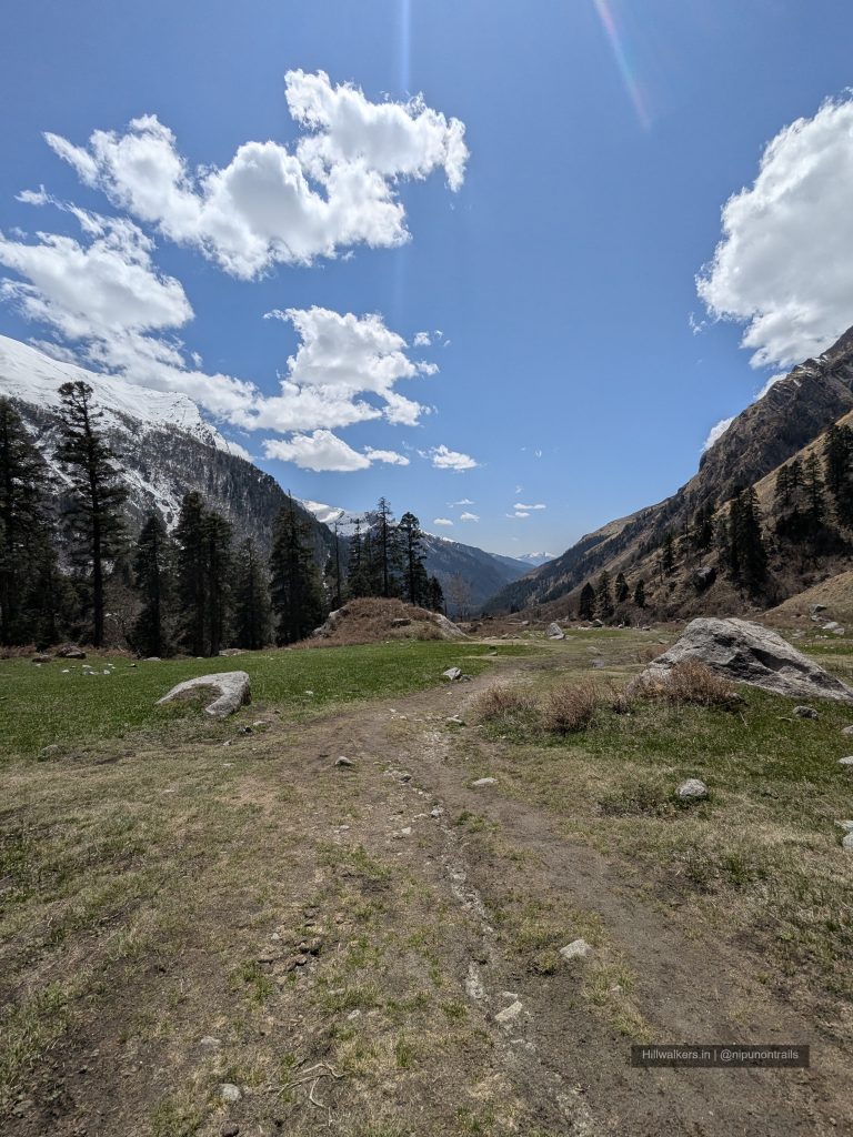
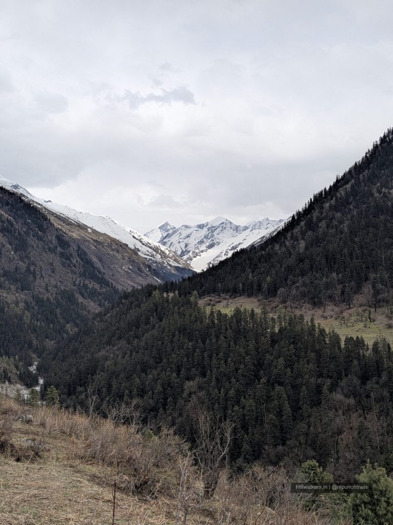
- Meadows, valleys and changing landscapes
- Rich Himalayan birdlife
Overview
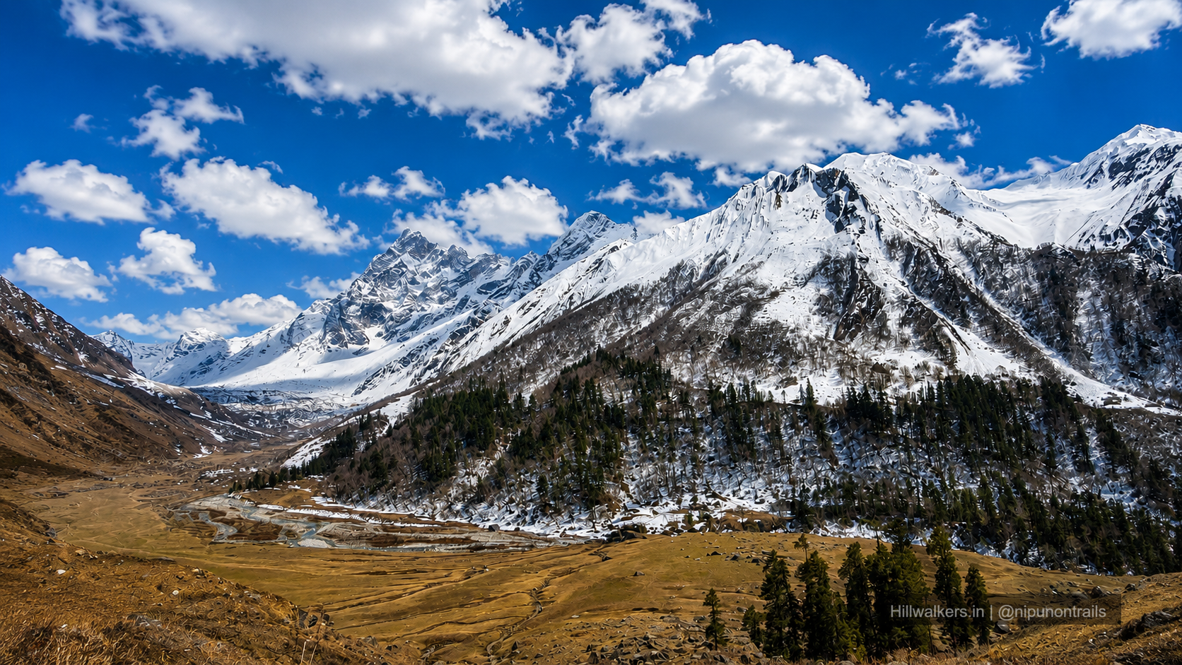
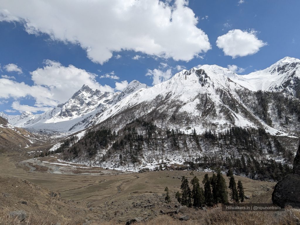
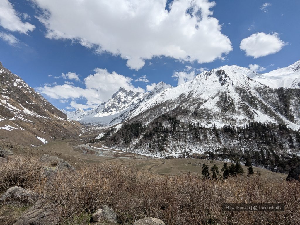
Har Ki Dun is a classic valley trek in the Garhwal Himalayas of Uttarakhand. Unlike summit-focused treks, the journey here is about walking through forests, traditional Himalayan villages, river valleys and open meadows before reaching the broad valley beneath the Swargarohini range.
Har Ki Dun is often referred to as the Valley of Gods due to its association with local folklore and the nearby Swargarohini massif. The valley has been used for centuries by local communities and later gained popularity among trekkers for its combination of cultural heritage, mountain scenery and relatively accessible terrain.
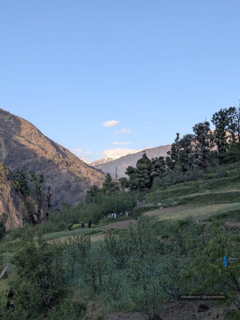
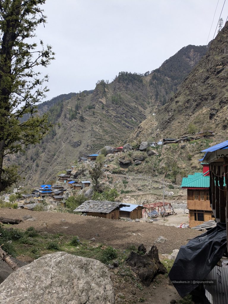
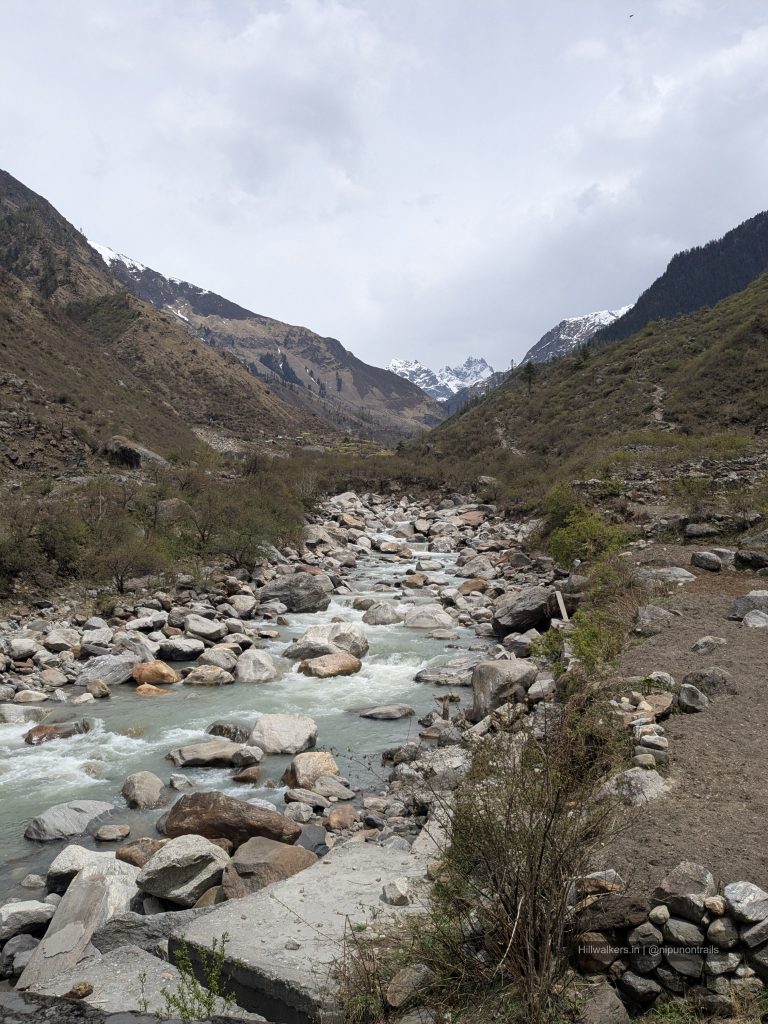
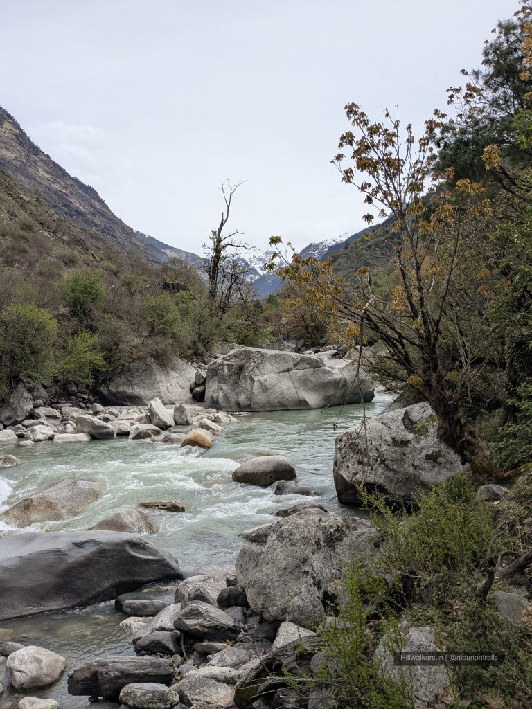
The route passes through the villages of Gangad and Osla, two settlements that still retain much of their traditional wooden architecture and mountain lifestyle. Along the way, the trail follows the Supin River, crosses wooden bridges and gradually opens up to wider views of snow-covered peaks.
Har Ki Dun is often considered one of the best introductory Himalayan treks. The altitude remains manageable for most trekkers, the trail is well established, and the landscape changes noticeably every day. From dense forests and riverside trails to open valleys and mountain views, the trek offers a little bit of everything.
The region falls within Govind Pashu Vihar National Park and supports a variety of Himalayan wildlife and birdlife. While sightings depend on season and luck, trekkers may encounter Himalayan langurs, barking deer and several species of mountain birds along the route.
Essentials
Water
Multiple Streams throughout
Network
Limited beyond Sankri
Camping
Camping Allowed
Permit
Required, taken from Sankri
Food
Villages and at some trail points
Guide
Mandatory
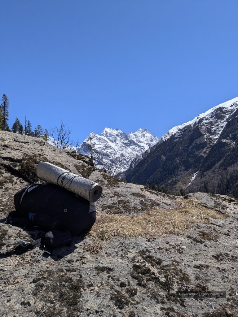
What To Carry
Quick-dry T-shirts
Trek pants
Fleece jacket
Down jacket (season dependent)
Rain jacket or poncho
Woollen cap and gloves
Extra socks
Water bottles
Electrolytes
Dry snacks and energy bars
if backpacking
Dehydrated food
Meals
Headlamp / Torche
Powerbank
Trekking Pole
Sunglass
Personal Medicines
If Backpacking,
Cooking system
Camera
Note: This checklist serves as a general guide. Adjust your gear based on weather, season, trek conditions, and personal requirements.
Routes
Sankri – Gangad – Osla – Kalkatiya Dhar – Boslo – Har Ki Dun
Base Village: Sankri
Difficulty: Easy Moderate🟢
Duration: 4-5 Days
Distance: ~22-32 km
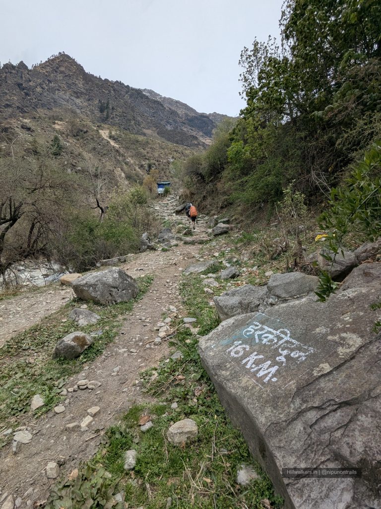
The journey begins from Sankri, from where shared vehicles and private taxis can be used to reach Gangad. The trek starts from Gangad and follows the Supin valley through forests, river crossings and traditional Himalayan settlements.
Osla is the main village encountered on the route and is a common halt for trekkers. Those looking for a longer day can bypass an overnight stay at Osla by crossing the Seema bridge and continuing towards Kalkatiyadhar campsite.
From Kalkatiyadhar, the trail gradually climbs towards Boslo campsite. Boslo is often used as the final camping location as camping is generally not permitted further ahead towards Har Ki Dun. From Boslo, a short hike leads into the Har Ki Dun valley beneath the Swargarohini range before returning to camp.
Trekkers with additional time can continue beyond Har Ki Dun to visit Maninder Tal. Another worthwhile extension is Ruinsara Tal, located towards the Bali Pass route. Ruinsara Tal is approximately 13 km from Boslo and is usually explored as an extended hike or as part of a longer itinerary connecting to Bali Pass.
How to reach
Sankri
Reach Dehradun by train, bus or flight. From Dehradun, shared taxis and buses operate towards Sankri via Mussoorie, Purola and Mori.
Bus Timing from Dehradun Hill side Bus stand: 7:30 AM, which could be 8+ hours journey.
Gangaad
Shared (Limited) and private taxis are available from Sankri to Gangad. The trek begins from Gangad and follows the Supin valley towards Osla and Har Ki Dun.
Map & Location
Base Village: Sankri
District: Uttarkashi
State: Uttarakhand
Nearest Railway Station: Dehradun
Nearest Airport: Dehradun
Region: Garhwal Himalayas
Safety
Fit Beginners
Regular Trekkers
Moderate fitness recommended
Long walking days
Cold nights at higher camps
Weather can change rapidly
Trail may become slippery during rain or snow
Nearest Village : Osla
Gallery
FAQ
Didn’t find your question here? Contact us and we’ll be happy to help.