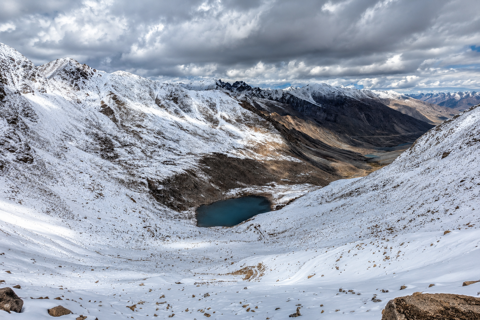
Bhrigu Lake
A high altitude trek through vast Himalayan meadows to a sacred alpine lake above Manali.
Quick Info
Altitude
4180m
Difficulty
Easy Moderate
Distance
~14-30 Km
Base Village
Vashisht / Kulang / Koti / Gulaba
Duration
2-4 Days
Best Season
May – October
Highlights
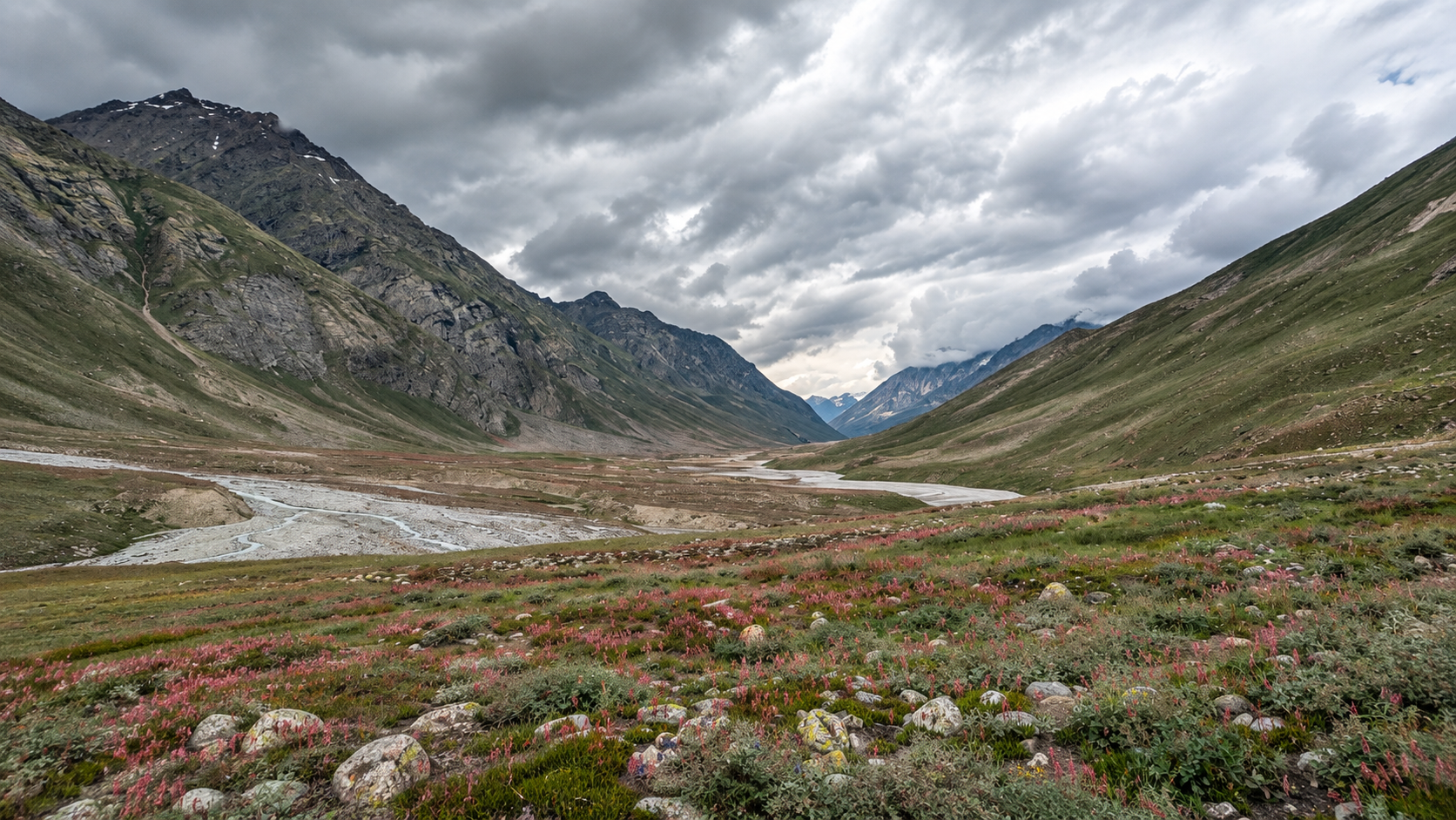
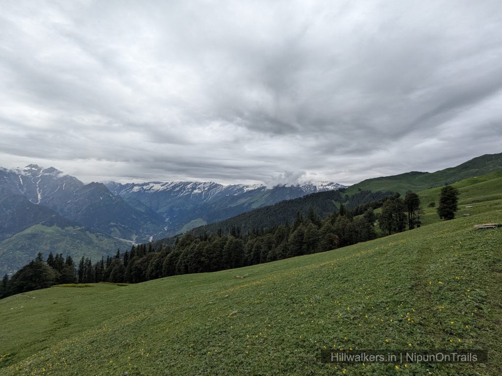
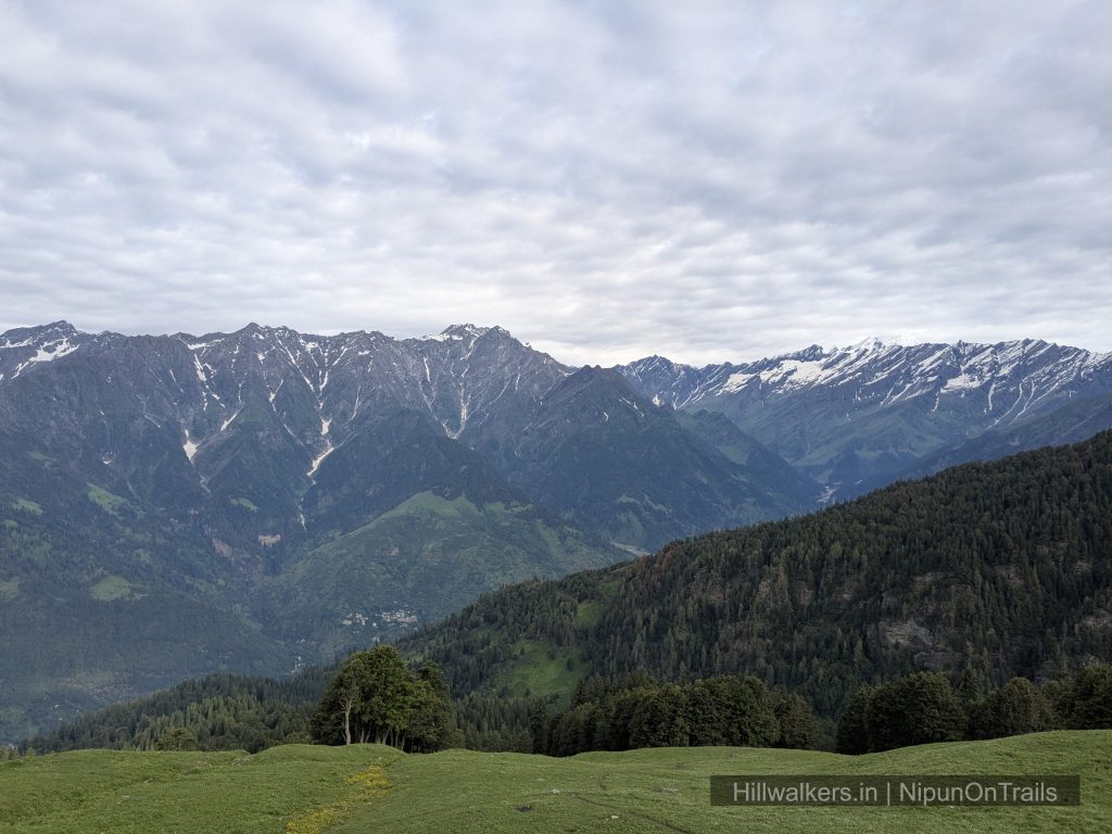
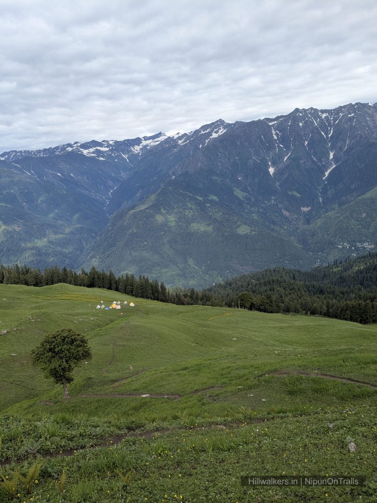
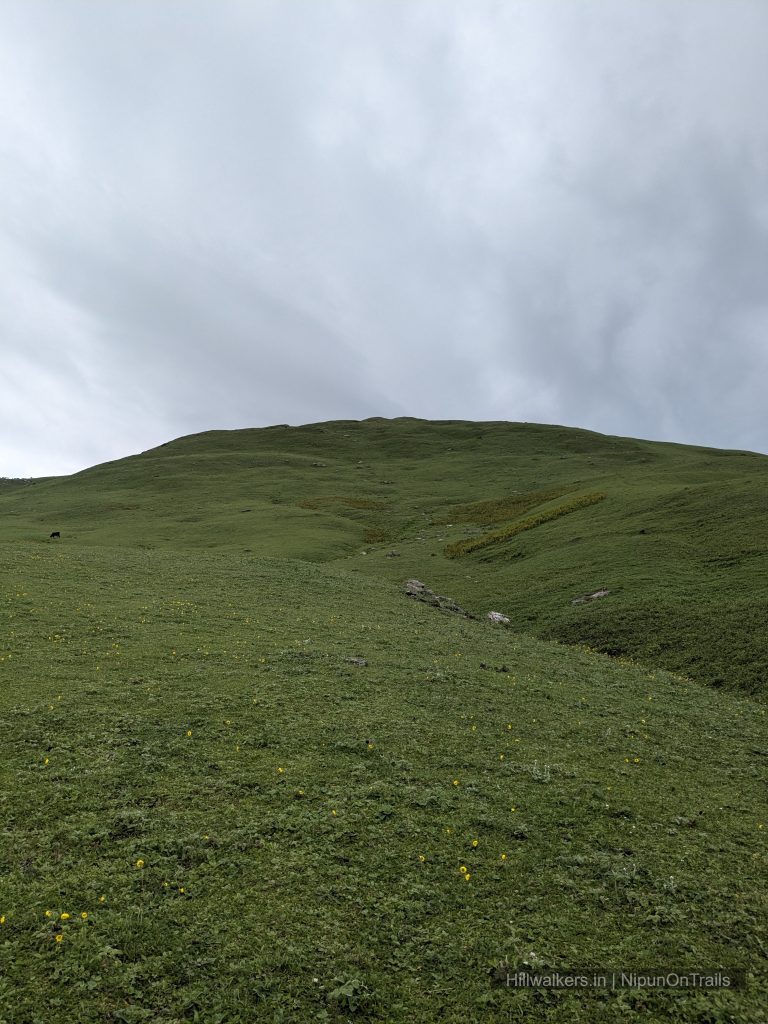
- Vast high altitude meadows above the tree line
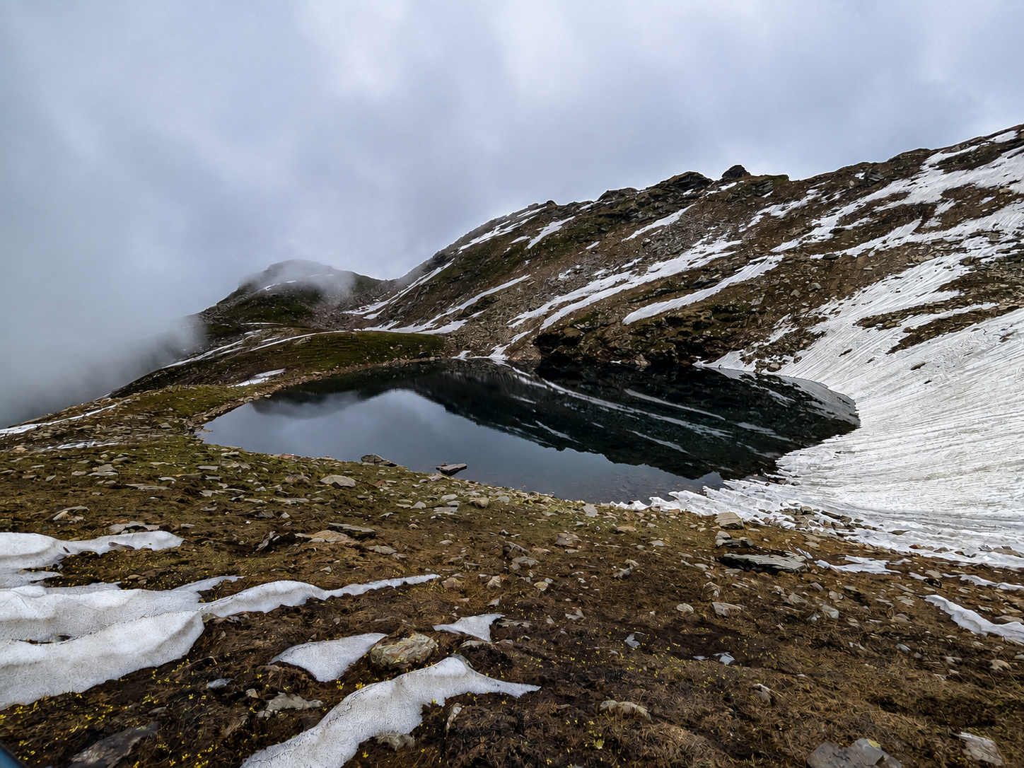
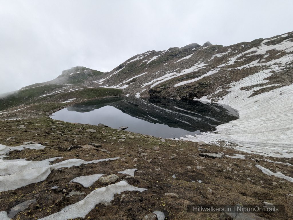
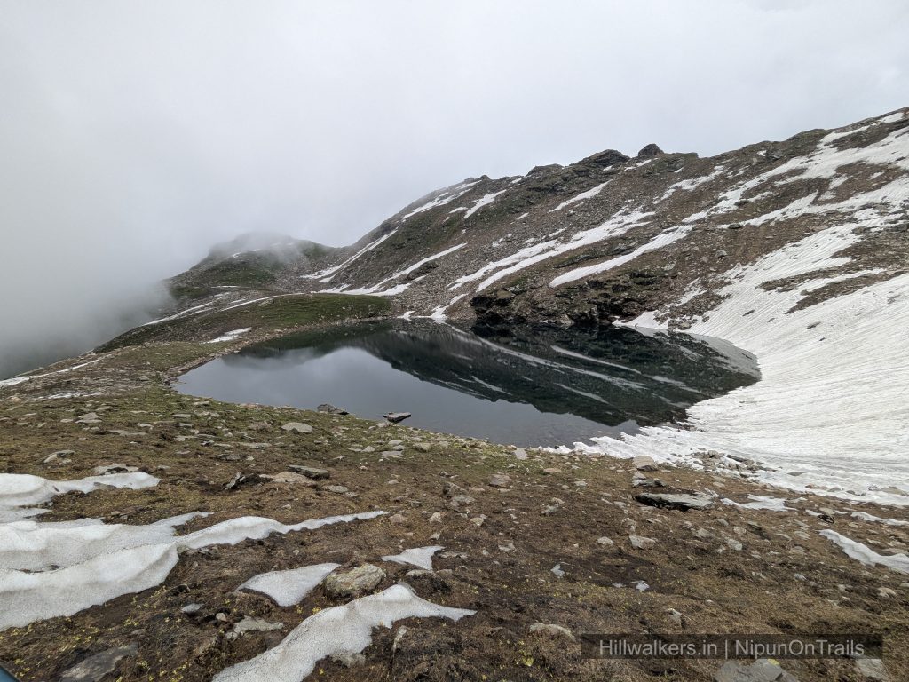
- Bhrigu Lake at around 4,180 m
- Multiple routes from Vashisht, Kulang, Koti and Gulaba
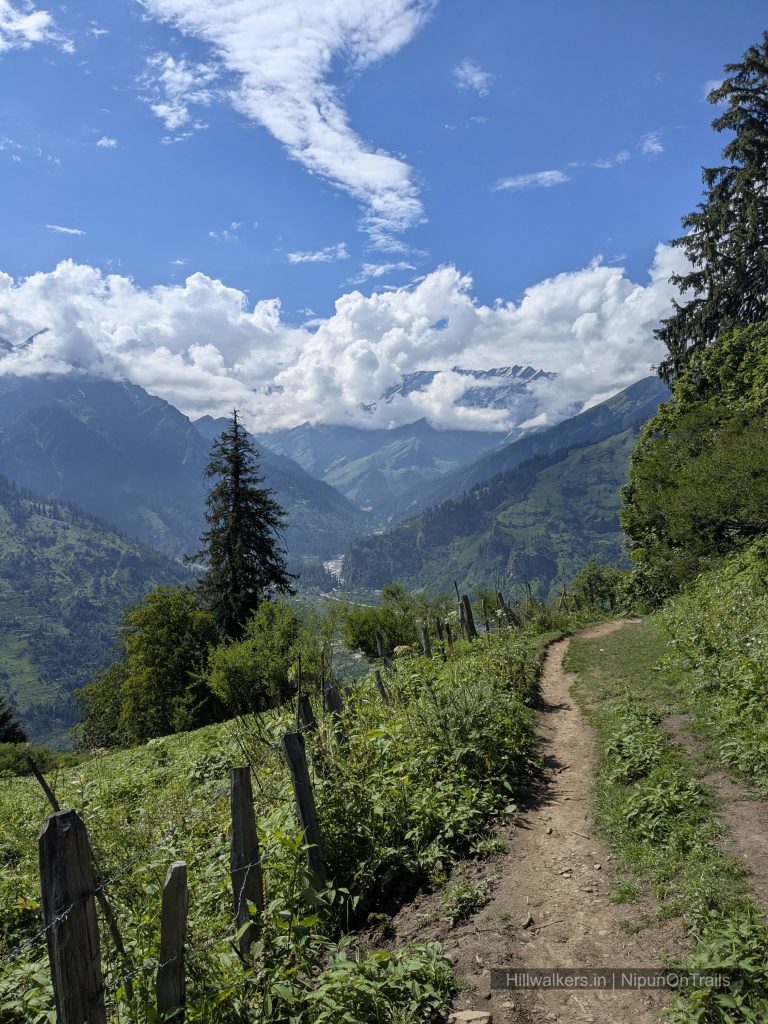
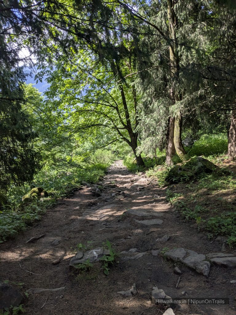
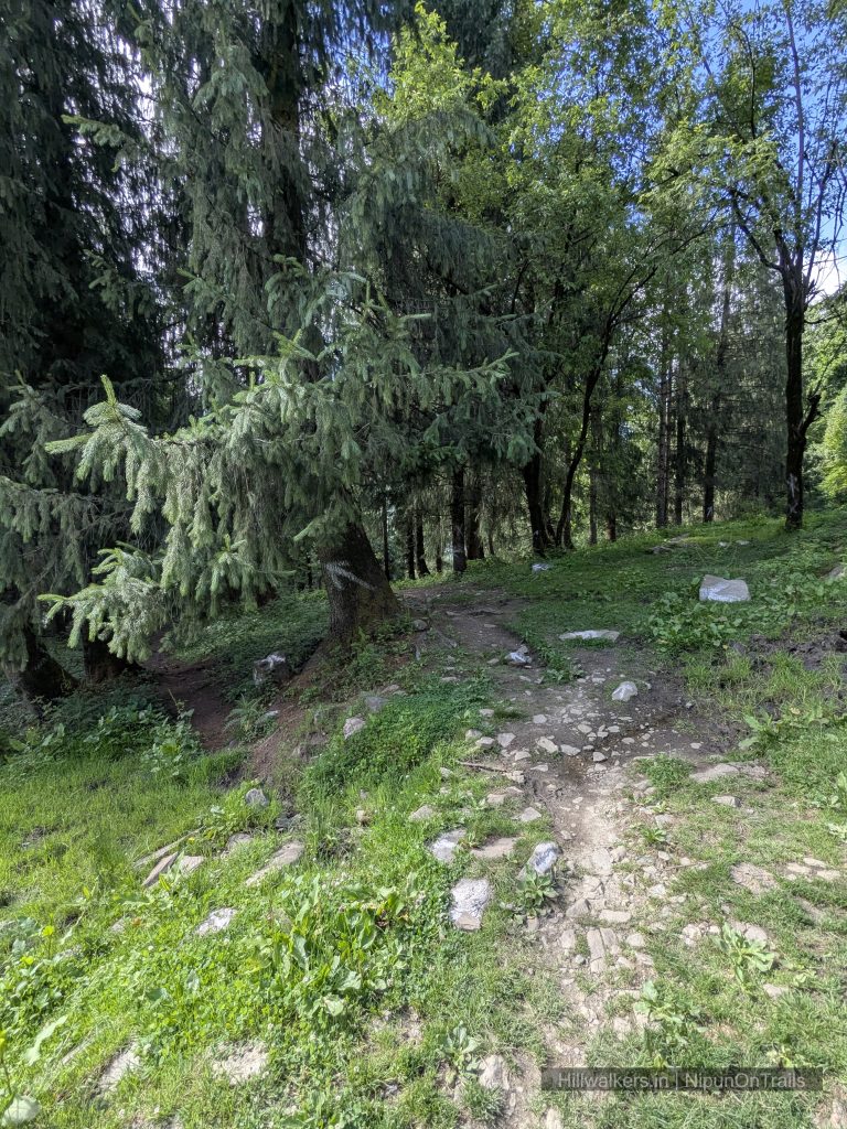
- Forest trails opening into exposed alpine terrain
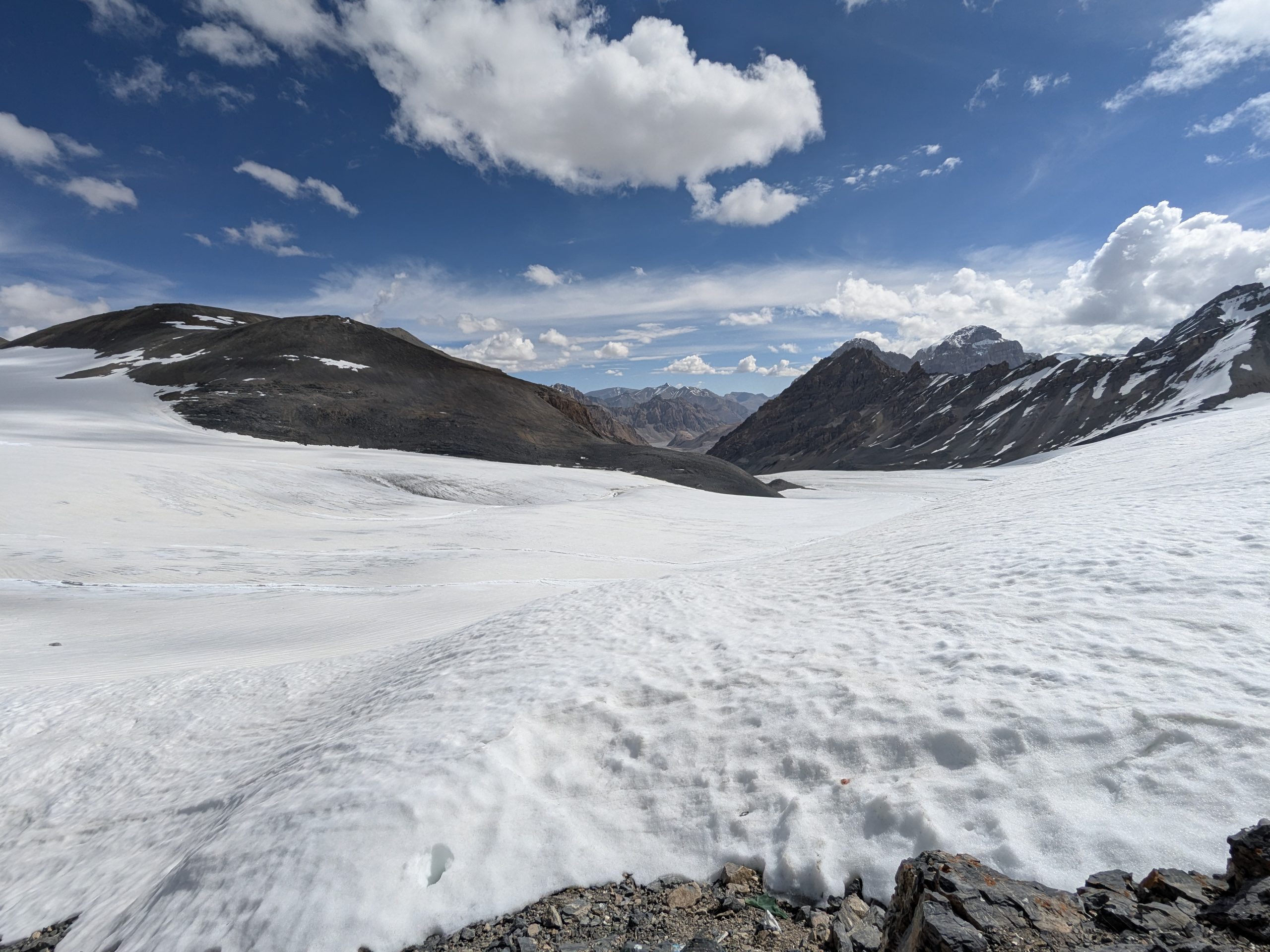
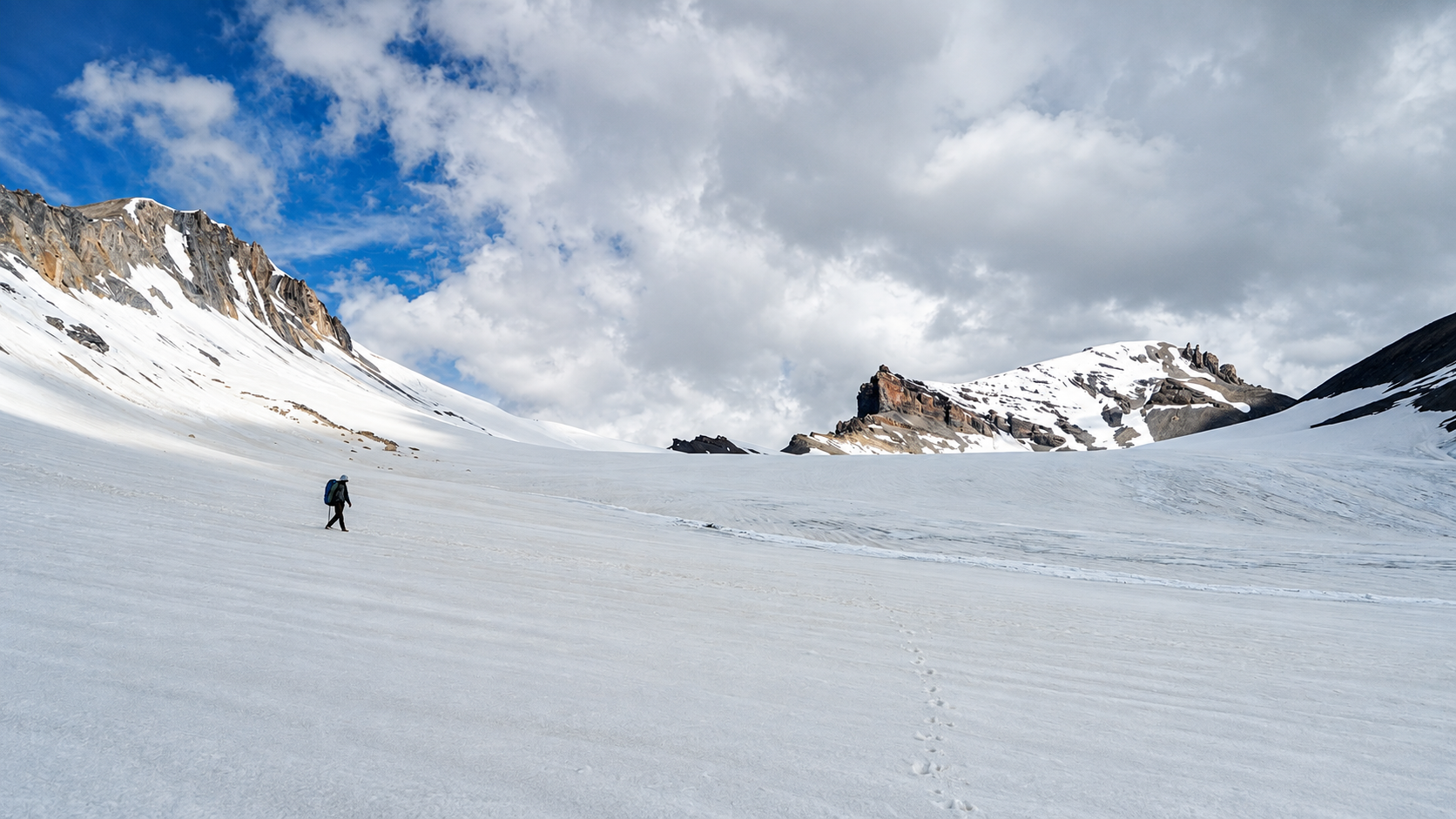
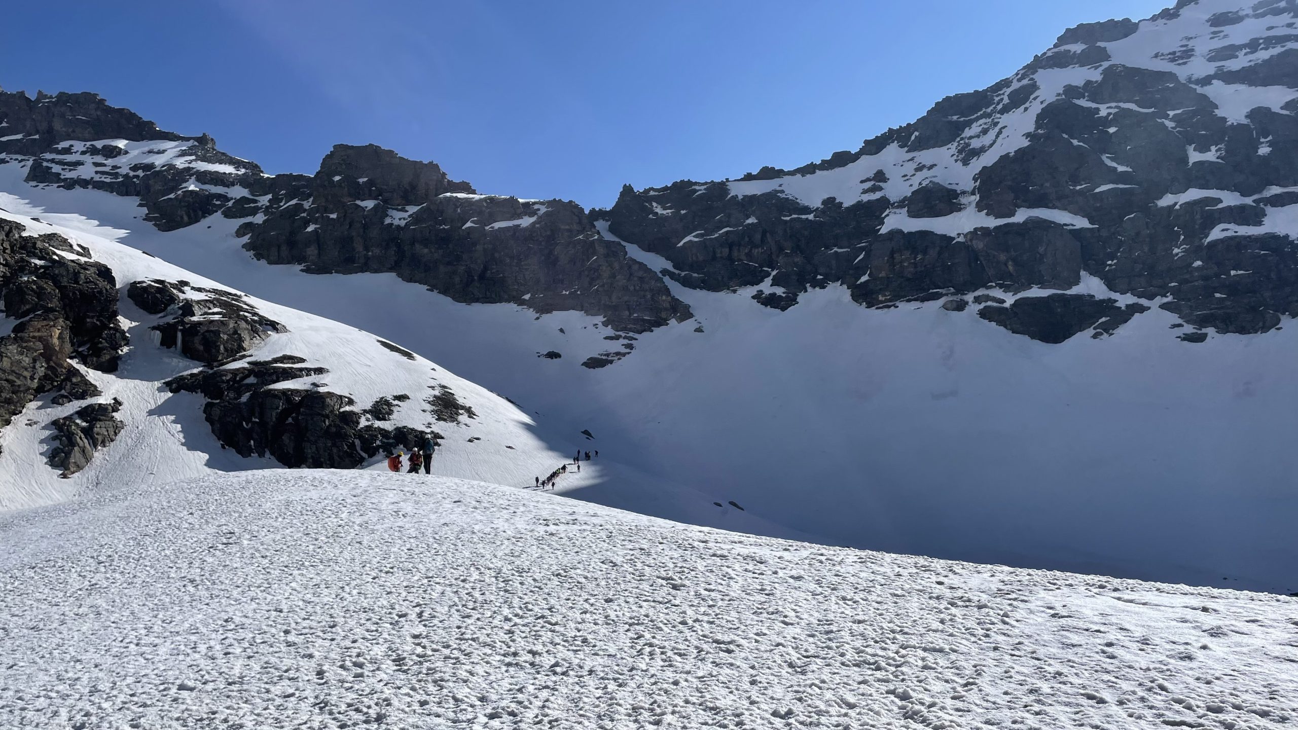
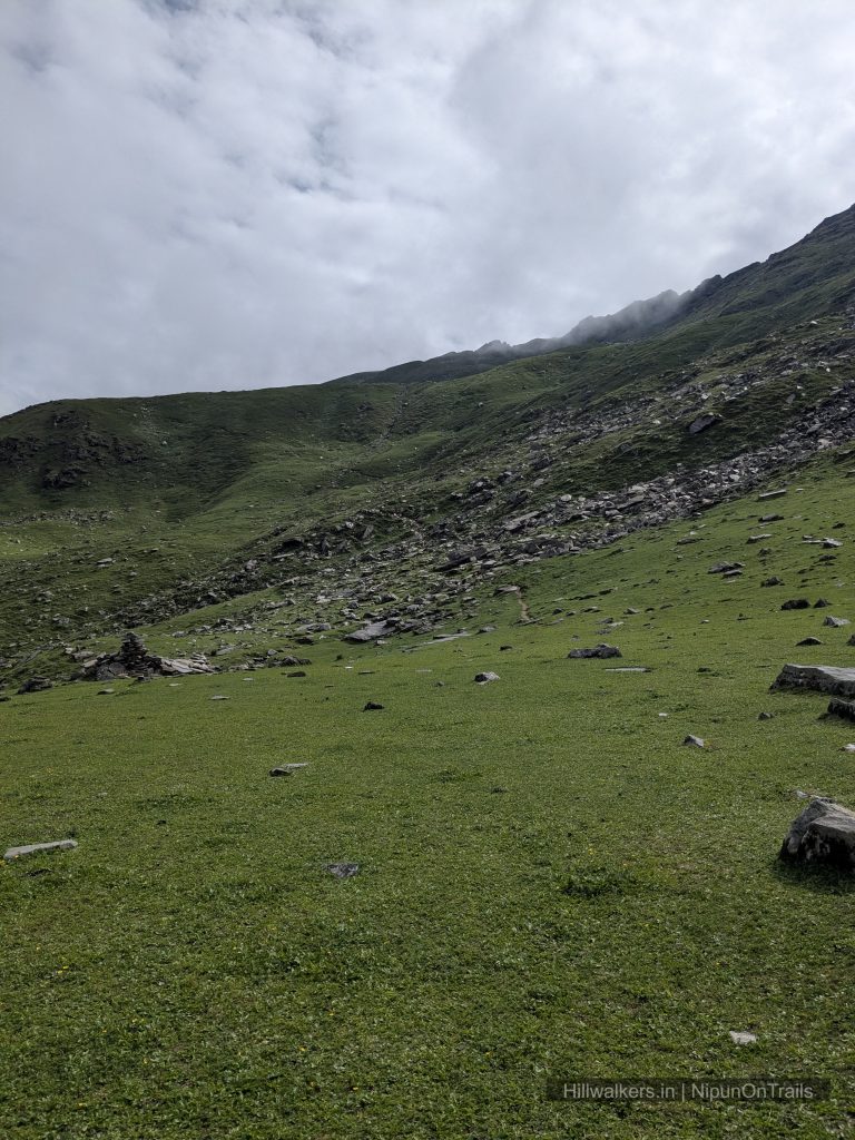
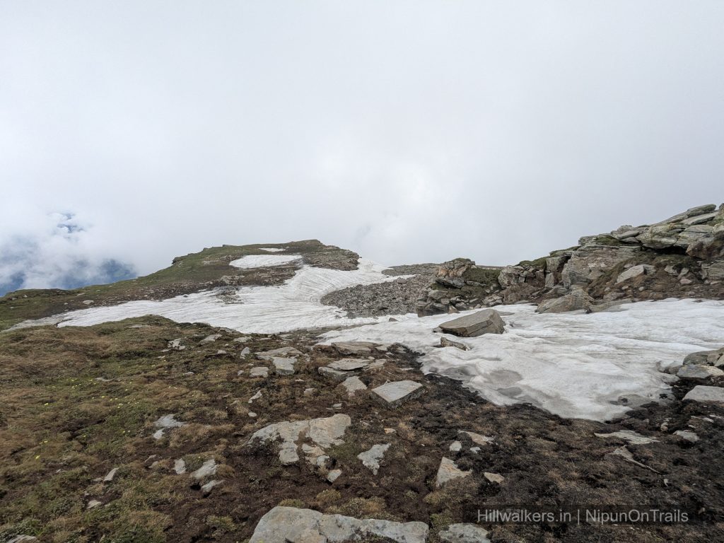
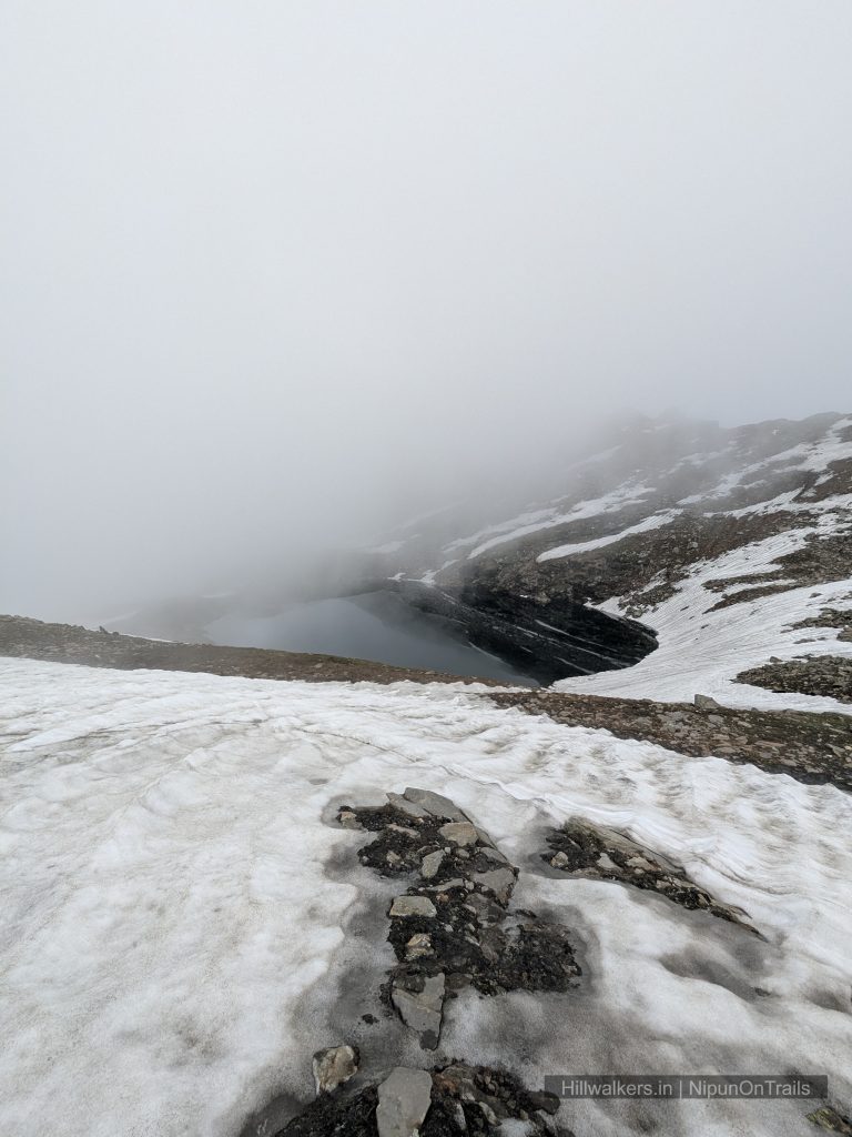
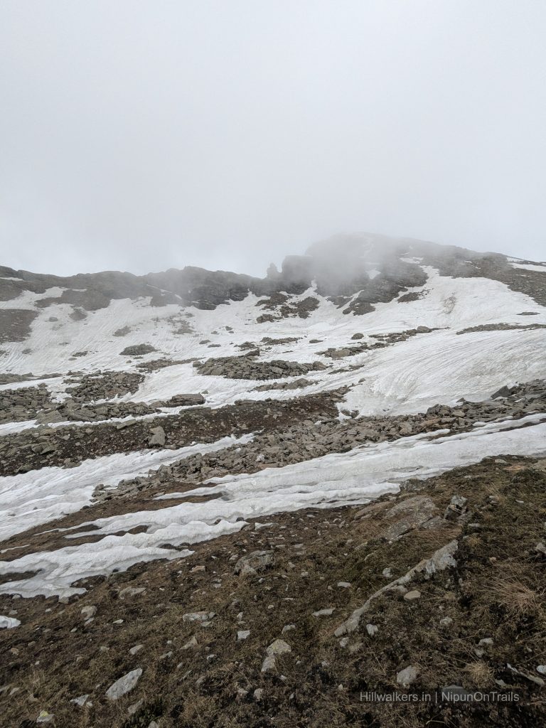
- Snow patches around the higher sections early in the season
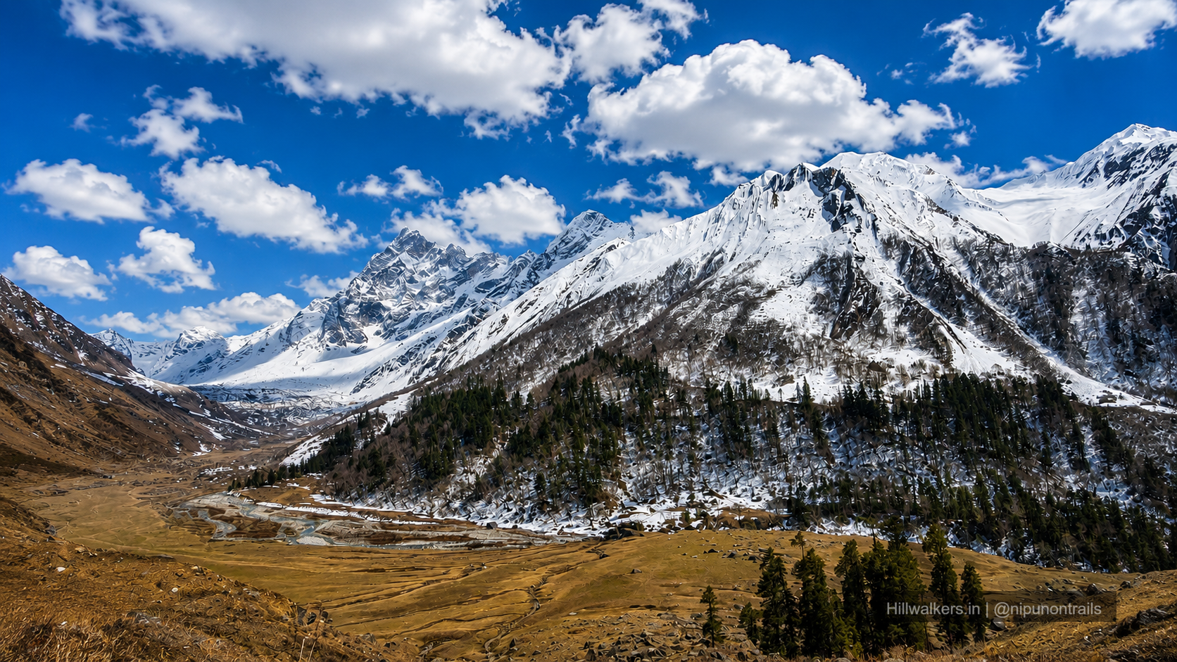
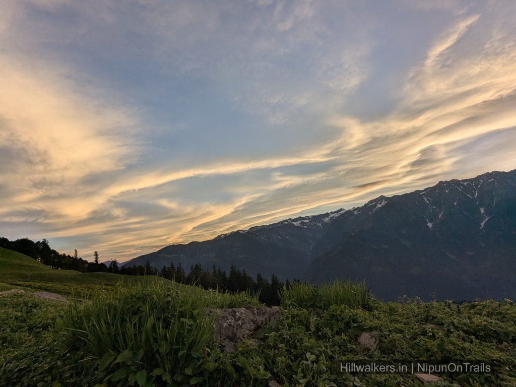
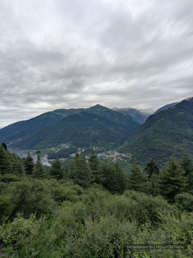
- Views towards the surrounding Pir Panjal ranges
- Changing landscape over a relatively short trek
Overview
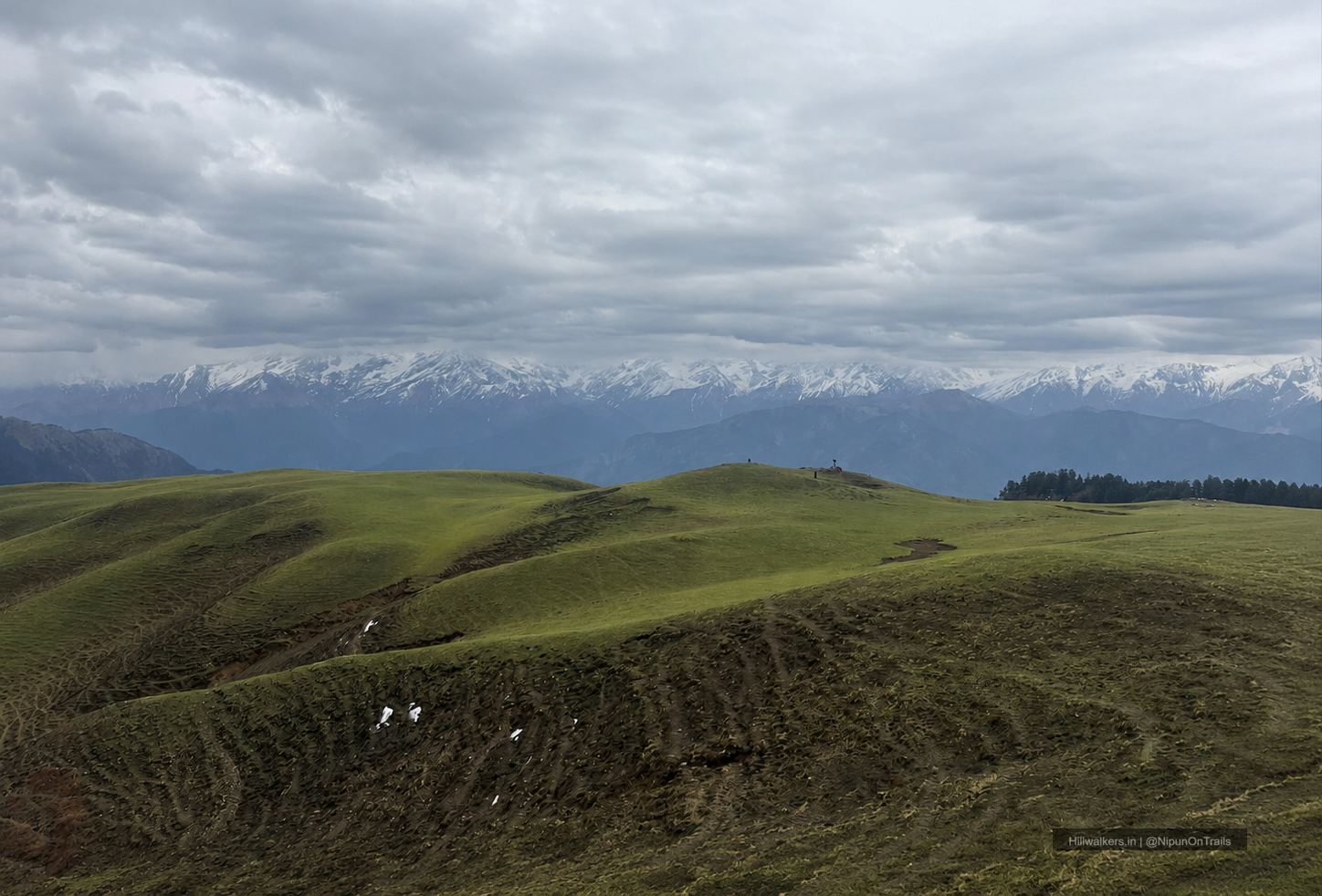
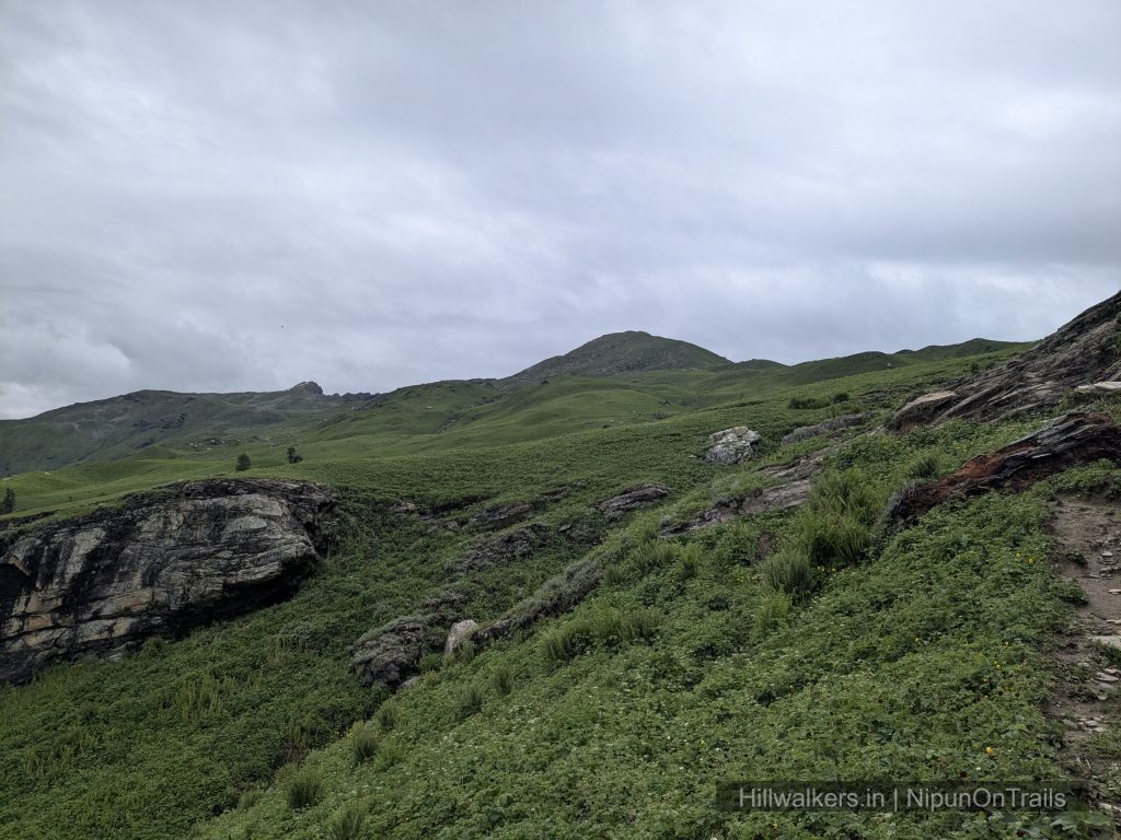
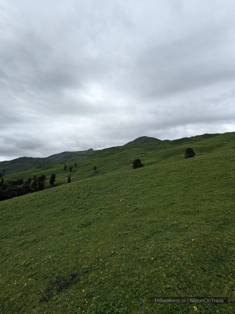
Bhrigu Lake is a high altitude trek above Manali, known especially for its wide open meadows and the sudden change in landscape as the trail climbs above the tree line.
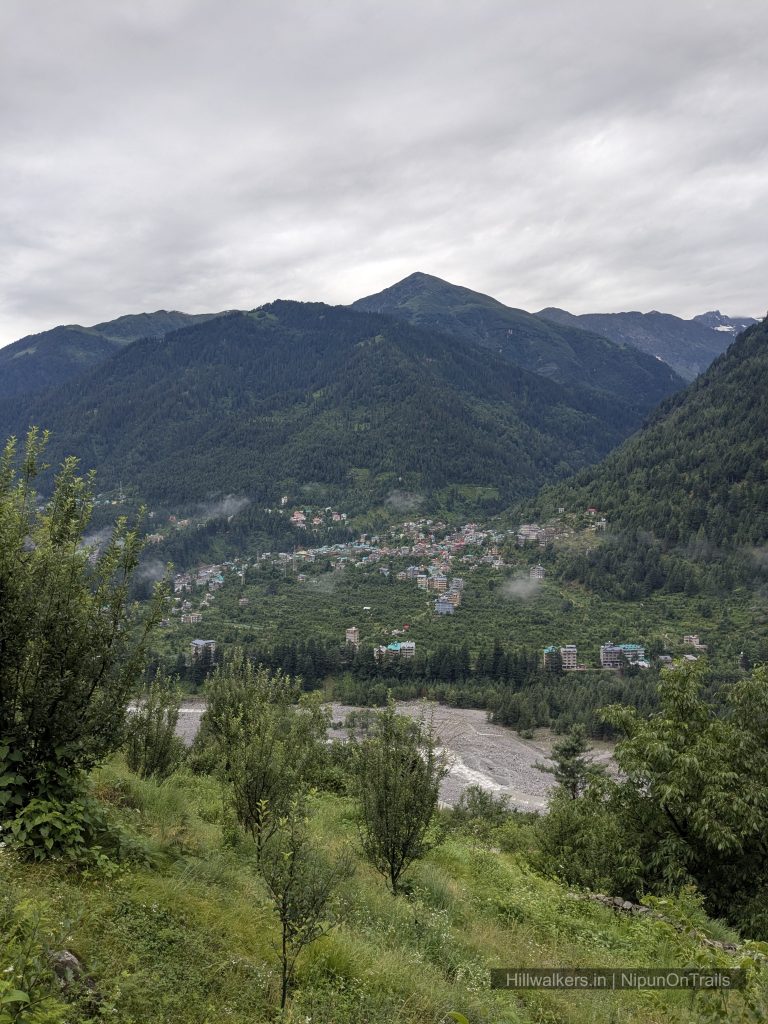
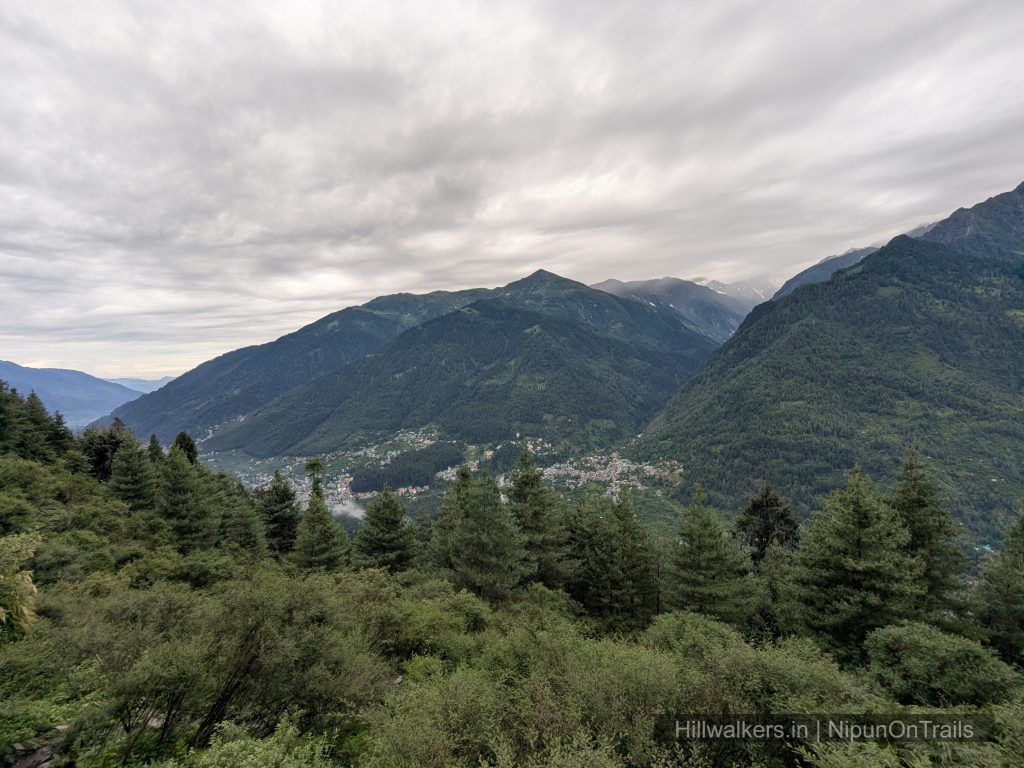
The lake is associated with Maharishi Bhrigu, who is traditionally believed to have meditated in this region. The landscape around the lake is very different from the lower Manali valley, with open slopes, rocky terrain and snow patches that can remain around the higher sections depending on the season.
One of the interesting things about Bhrigu Lake is that there isn’t just one fixed way to reach it. Trails from Vashisht, Kulang, Koti and Gulaba approach the upper mountain from different directions and connect at different points before reaching the lake.
The choice of route changes the character of the trek. Vashisht involves a stronger initial climb, Kulang has a long traverse, Koti offers a comparatively gentler approach before joining the Kulang side, while Gulaba is the shortest and more commonly used approach.
Bhrigu Lake is sometimes described as an easy beginner trek because of its short duration. The altitude, however, should not be underestimated. Reaching above 4,000 m within a short itinerary requires good pacing, suitable fitness and sensible acclimatization.
Essentials
Water
Available at Sections
Network
Available most part of trail
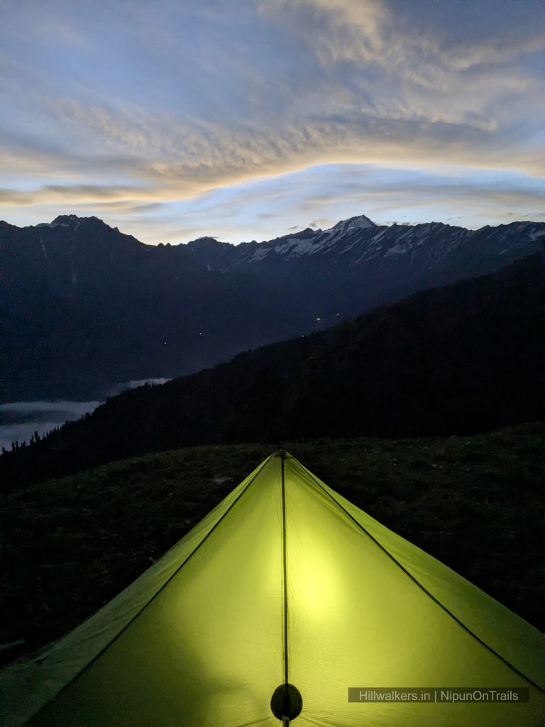
Camping
Camping Allowed
Permit
Check locally
Food
Carry / Seasonal Camps
Guide
Not Mandatory
What To Carry
Quick-dry T-shirts
Trek pants
Fleece jacket
Down jacket (season dependent)
Rain jacket or poncho
Woollen cap and gloves
Extra socks
Water bottles
Electrolytes
Dry snacks and energy bars
if backpacking
Dehydrated food
Meals
Headlamp / Torche
Powerbank
Trekking Pole
Sunglass
Personal Medicines
Camera
If Backpacking,
Cooking system
Note: This checklist serves as a general guide. Adjust your gear based on weather, season, trek conditions, and personal requirements.
Routes
Bhrigu Lake has several approaches, and the route you choose can significantly change the experience.
The different routes vary in their initial climb, distance, trail character and overall time required. Choose your approach based on your fitness, experience, available time and the conditions at the time of your trek.
Vashisht – Panduropa – Bhrigu Lake
Base Village: Vashisht
Difficulty: Moderate
Duration: 2-4 Days
Distance: ~ km
Character: Steeper climb, quieter approach, open meadows
The trail starts from Vashisht and climbs steadily through the lower slopes. The initial section includes stairs and forest before gradually opening into grassland. Around the 2,900 m level, the trail splits. One route goes towards Kulang, while the other continues upwards towards Panduropa.The Panduropa side is the steeper option. As the trail gains altitude, the forest gradually gives way to open meadows. The route eventually connects with the higher trail coming from the Kulang side before continuing towards Bhrigu Lake.
Choose this route if you prefer a quieter approach and don’t mind a stronger initial climb, also advantage is as its starts from Vashisht you may not need to travel or take transport.
Kulang – Moridugh – Bhrigu Theli – Bhrigu Lake
Base Village: Kulang
Difficulty: Easy Moderate🟢
Duration: 2-4 Days
Distance: ~ km
Character: Long traverse, gradual gain followed by steeper sections
The trail starts from Kulang and climbs towards the upper slopes before entering a long traverse. The traverse continues towards Moridugh, where the trail coming from Vashisht joins the route.
From Moridugh, the trail climbs towards Bhrigu Theli, around 3,500 m, where it connects with the higher route coming from the Panduropa side. From here, the trail continues towards Bhrigu Lake. The long traverse makes this route feel different from the more direct climb from Vashisht.
Choose this route if you want a longer mountain traverse and a different approach to the upper meadows.
Koti – Kulang Traverse – Bhrigu Lake
Base Village: Koti
Difficulty: Easy Moderate🟢
Duration: 2-4 Days
Distance: ~ km
Character: Comparatively gentler approach, long traverse
The route from Koti joins the trail coming from the Kulang side. Compared with starting directly from Kulang, the initial section involves comparatively less climbing before joining the long traverse. From the junction, the route continues towards Moridugh and then climbs towards Bhrigu Theli before joining the higher trail towards Bhrigu Lake.
Choose this route if you want to avoid the stronger initial climb from Kulang but still want to experience the longer traverse approach.
The route still involves significant distance and altitude gain after joining the Kulang trail.
Gulaba – Rola Kholi – Bhrigu Lake
Base Village: Gulaba
Difficulty: Easy Moderate🟢
Duration: 2-3 Days
Distance: ~ km
Character: Shortest approach, commonly used route
The Gulaba route is the shortest of the main approaches to Bhrigu Lake and is commonly used by organised trekking groups.
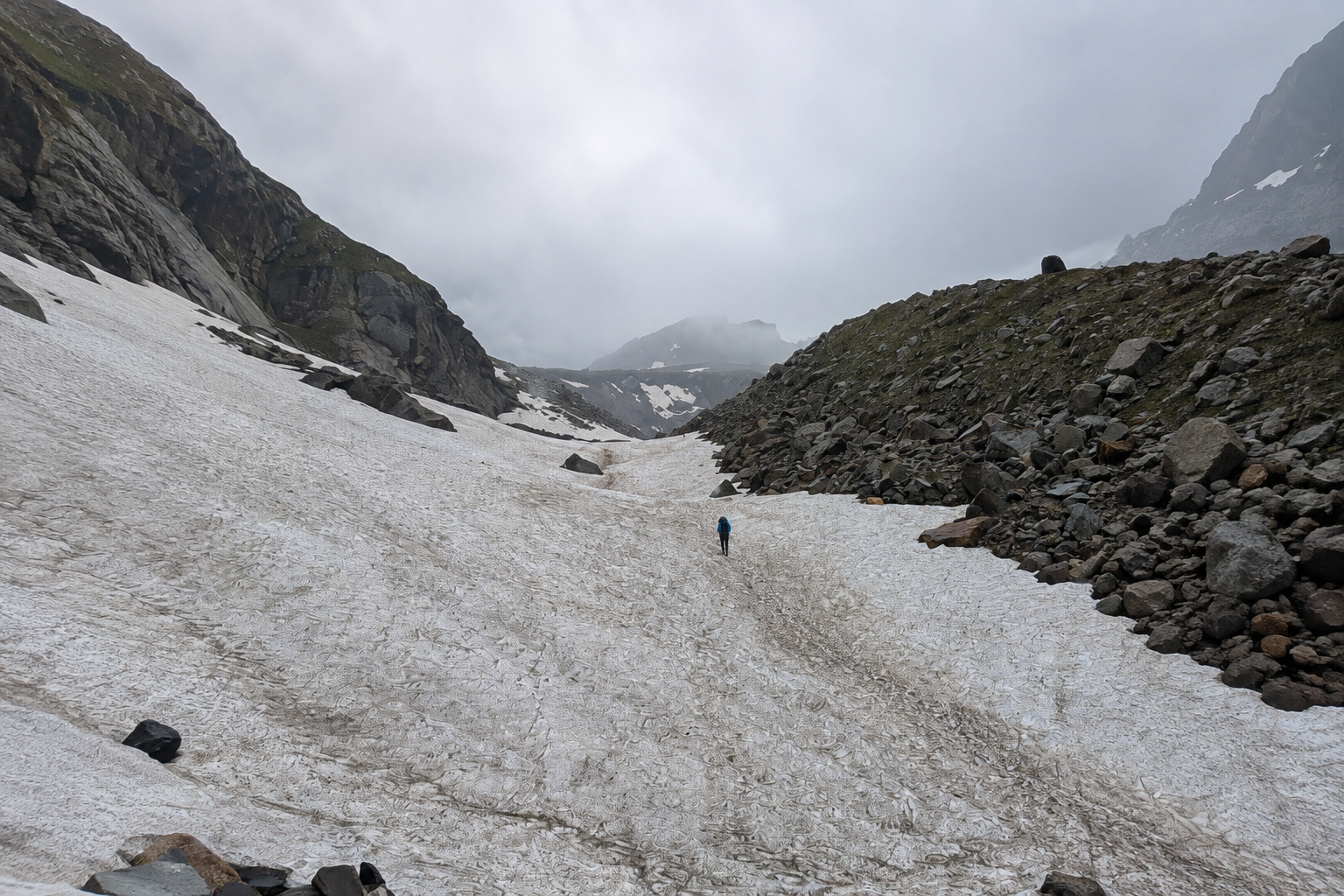
The trail starts from Gulaba and initially passes through forest before opening into higher meadows. Rola Kholi is a commonly used camping area on this approach, after which the route continues towards Bhrigu Lake. The final approach involves higher altitude terrain and can have snow patches earlier in the season.
Choose this route if you have limited time and want the shortest and more straightforward approach to the lake.
Shorter does not mean effortless. The route still involves significant altitude gain and a high altitude approach to the lake.
How to reach
Manali is the main access point for Bhrigu Lake and is well connected to major cities in North India by road.
The nearest airport with regular commercial connectivity is Bhuntar Airport. Chandigarh is another practical option for travellers arriving by air.
Vashisht
Vashisht is located just above Manali and can be reached by local taxi or Auto from Manali. The trek begins from the Vashisht Temple and climbs towards the upper slopes.
Kulang
Kulang is a short drive from Manali towards the Solang Valley side. Local taxis or HRTC Bus are the practical option for reaching the Village.
Koti
Koti is another road-accessible village on the Manali Rohtang Pass side and can be used as an alternative starting point for the Bhrigu route.
Gulaba
Gulaba lies on the Manali–Rohtang road and is accessible by taxi from Manali.
Map & Location
Base Village: Vashisht /Kulang /Gulaba /Koti
District: Kullu
State: Himachal Pradesh
Nearest Railway Station: Chandigarh
Nearest Airport: Bhuntar
Region: Pir Panjal / Kullu Himalayas
Safety
Fit Beginners
Regular Trekkers
Moderate fitness recommended – The trek is relatively short but involves significant altitude gain.
Weather can change quickly in the upper sections
Nearest Town : Manali
Carry current local emergency and rescue contacts before starting the trek
Gallery



FAQ
Didn’t find your question here? Contact us and we’ll be happy to help.