Crossing Parang La (5580m), One Day at a Time
Towards the end of June, Piyush and I planned to do the Parang La (5580m) trek. Because of that, I reached Manali in the first week of July and did some basic acclimatization, as Piyush was already acclimatized. After waiting for a couple of days, we planned to take a bus to Kaza and, from Kaza, another bus to Chicham, thinking we would start our trek from Chicham.
We didn’t really have a strict schedule in place. The plan was simply to head out whenever it became possible. However, right from before leaving Mumbai, and even after reaching Manali, things kept getting delayed for one reason or another. We gradually started wondering whether we would actually be able to pull off Parang La at all. But finally, the day we boarded the bus, a wave of positivity hit us. At least, we were finally on our way.

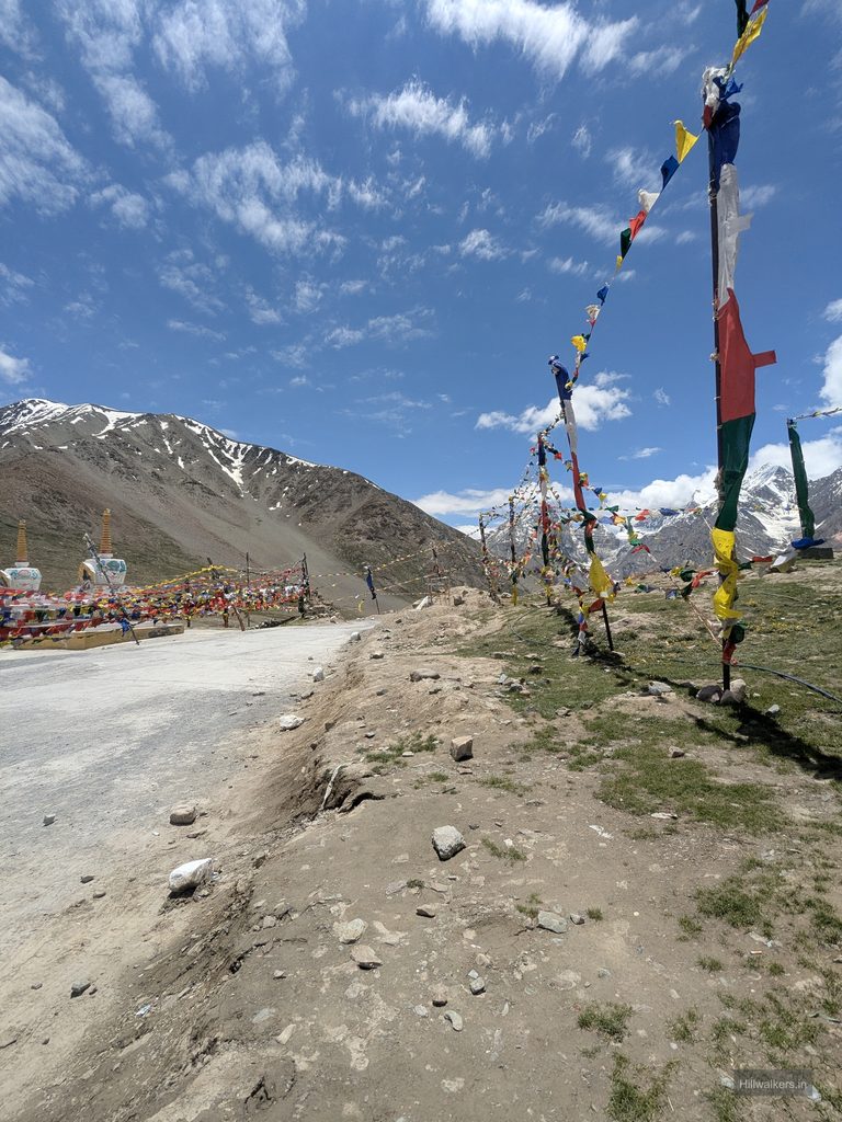
We had pre booked our tickets a day earlier and boarded the 6:00 AM bus from Manali on 13 July. The bus went via Koksar, Losar and Kunzum La, reaching Kaza around 4:15 PM. Upon arriving in Kaza, we inquired about the bus to Chicham. We took the scheduled 5:00 PM bus, reached Chicham and checked into Takpa Bhaiya’s place, whose contact we had got through Mohit.
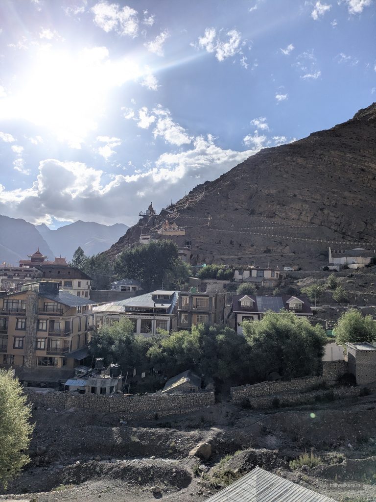
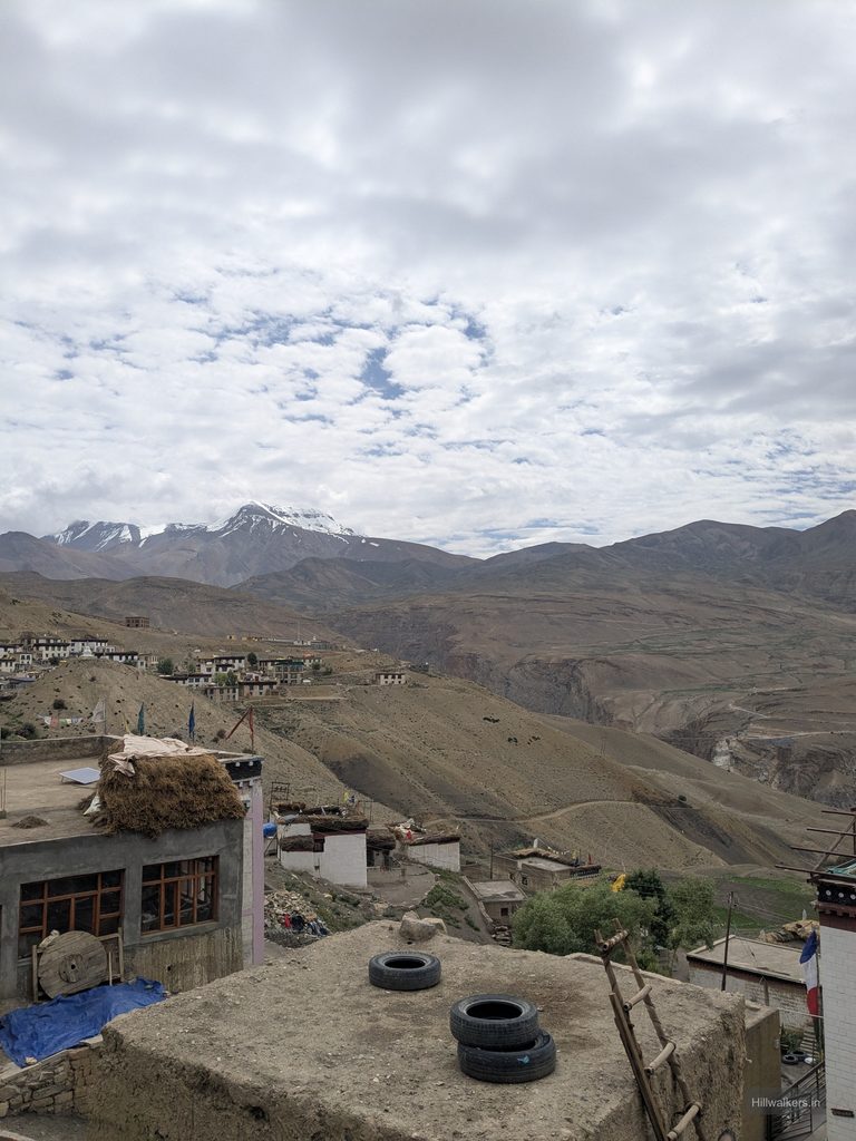
That evening, right after arriving, we started feeling some stomach discomfort. We kept dinner light to see how we would feel by morning. But when we woke up, Piyush was in much worse shape. That’s when we realized it wasn’t just a minor stomach bug, but actual food poisoning.
We decided to wait and see if things would improve over a day or two. The next day, however, it got even worse. After two rough days, we started questioning whether we should call off the trek and head back to Kaza, maybe even see a doctor. We were also thinking that this trek had already been getting delayed for one reason or another, and maybe it simply wasn’t in our fortunes.
Fortunately, Piyush had backup antibiotics with him, which he took. The following morning, he felt much better and said, “I’m good, we can go.” We decided to observe how the rest of the day went, and if everything still looked promising by the next morning, we would make our move.
Takpa Bhaiya suggested we do a short hike above Chicham that day, up to around 4,600 to 4,700 metres. The idea was to get some movement in, test our bodies and help with acclimatization. We hiked up above Chicham, and by that point, Piyush seemed completely back to normal. In fact, he was walking well ahead of me. I was trailing behind, and you couldn’t even tell he had been sick just a day before.
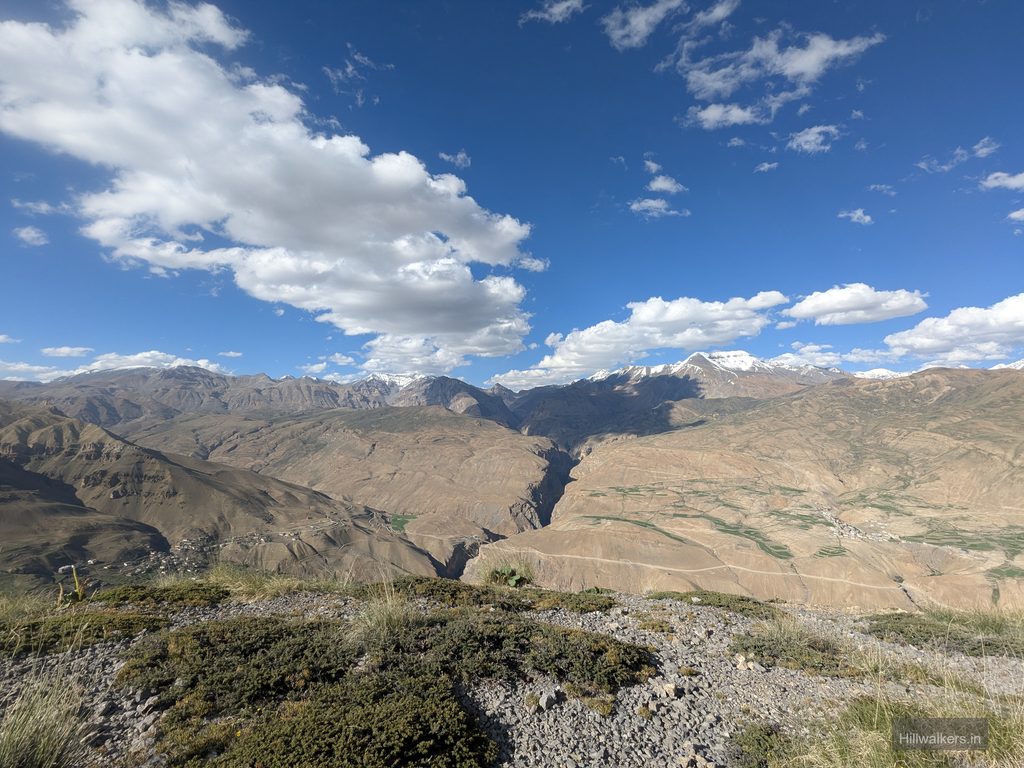
We came back and planned for the next day. The trek was around 102 km, with a maximum altitude of 5,580 metres, and we expected it to take around seven days. But we would see how things went after crossing the pass and stretch the days if possible. The Pare Chu crossing was something we had to plan carefully, as we had been told there was enough snow and that the crossing would be better in the morning or the first half of the day.
That night, we packed and sorted our backpacks for the next morning, had dinner and told Takpa Bhaiya that we would leave in the morning.
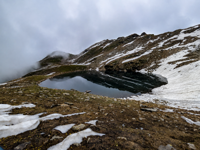
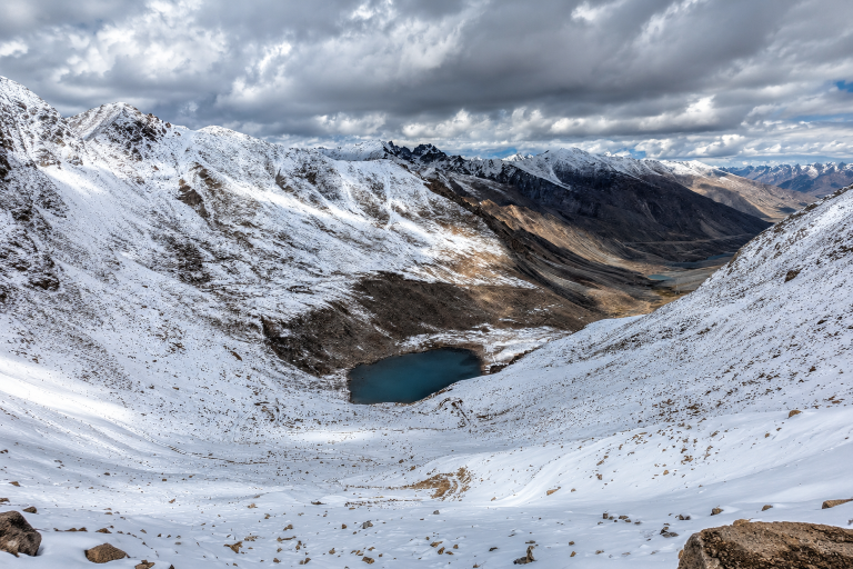
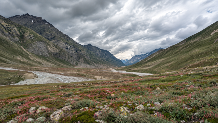
Parang La, at around 5,580 metres, is a high altitude pass connecting Spiti Valley with the Changthang region of Ladakh. The route is known for its remote landscapes and striking mix of barren mountains, glaciers and wide river valleys.
What makes the crossing special is the variety of terrain. The route climbs from Spiti to the pass, crosses the glacier on the other side and continues through the wide Pare Chu valley towards Karzok near Tso Moriri. With long distances, high altitude, glacier and river crossings, Parang La remains a remote and demanding Himalayan journey.
Chicham to Smali La
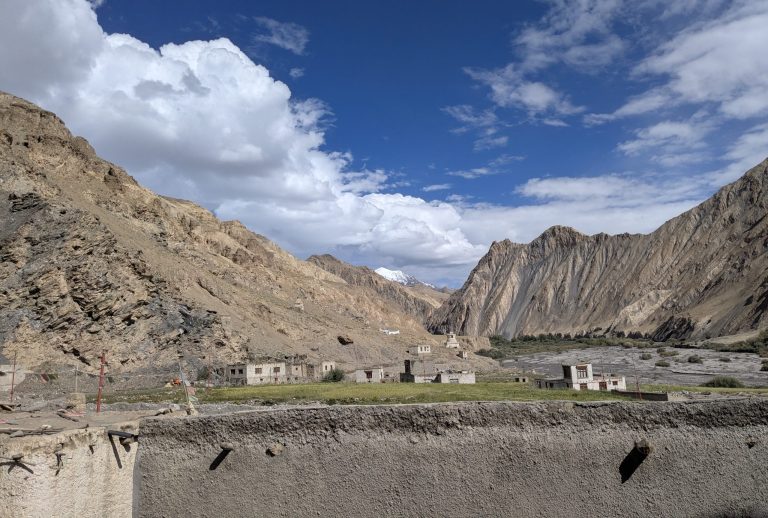
The next morning, 16 July 2026, we planned to leave by 8:00 AM. But by the time we had breakfast and took leave from Takpa Bhaiya, it was already 9:00 AM. Within five to ten minutes of leaving Chicham, I could feel the weight of my backpack. We took the exit from the road towards Dumla.
Dumla had some green land where locals were cultivating green peas. We cross checked the route with the locals we met along the way to find an easier approach to connect with the trail. Until then, we had mostly been walking on flat or descending terrain, but once we reached Dumla, we knew the actual climb was about to begin. I took a five to ten minute break, checked my phone and then put it on flight mode, thinking this could be the last network zone. It was also the last water point until Thaltak.

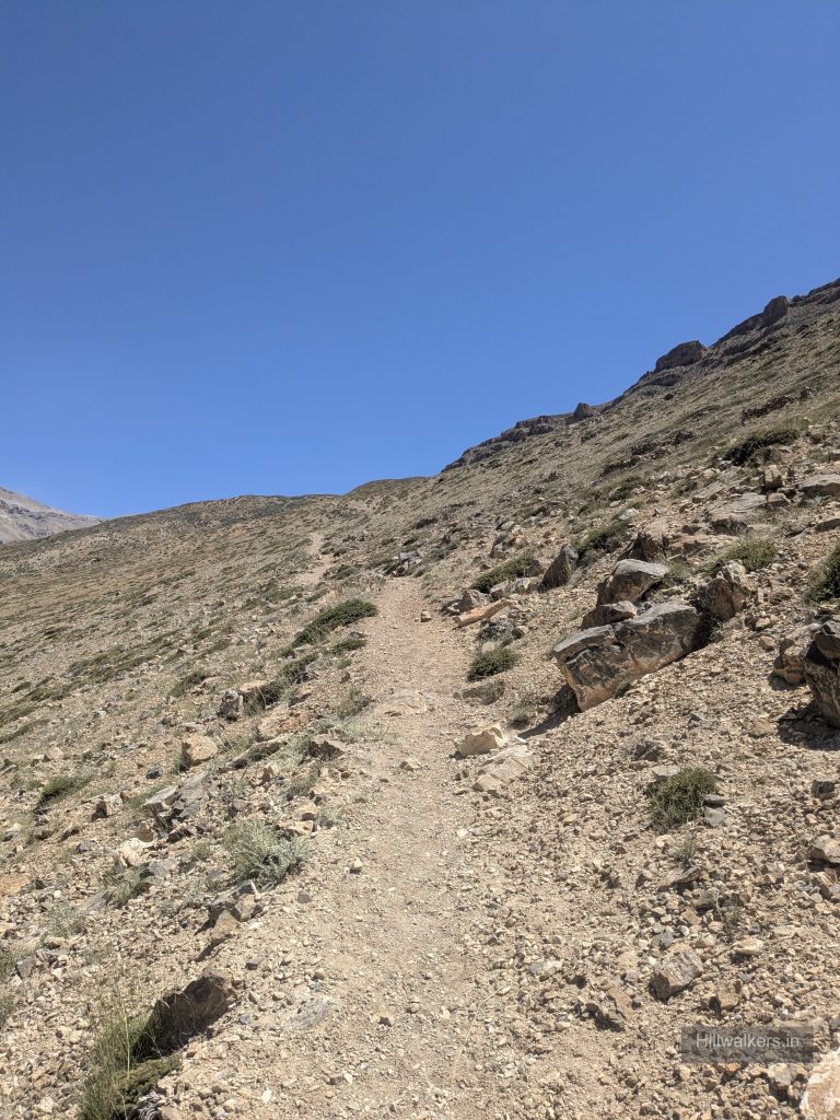
While I was taking the break, Piyush moved ahead into the climb. I started slowly, and the distance between us became significant after a while, but we made sure we were always within each other’s sight. The weather was clear and the air felt dry. I kept sipping water at intervals and continued slowly. Even though the terrain was dry, wildflowers were blooming in some places, and there were small ground level bushes that looked almost like meadows from a distance.
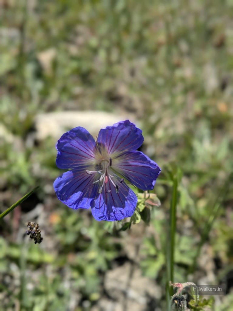
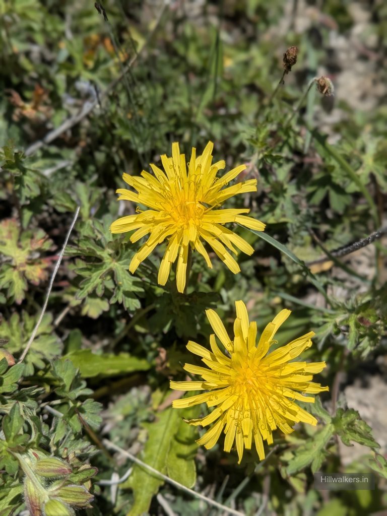
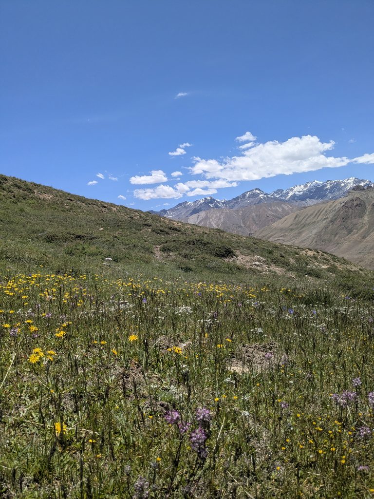
We took a break in between, ate the protein bars we had carried and started moving again. I was feeling a little tired and slow, so Piyush moved ahead. We were now chasing Smali La, around 4,700 metres. From a distance, it looked like we would reach the top after one more climb, but once we got there, another section would appear further ahead. Once we crossed Smali La, it would be a descent towards Thaltak. If the water and campsite situation allowed, we planned to go further.
Around 2:00 PM, we reached the top of Smali La. We took a few minutes to look around at the mountains before starting towards Thaltak. When we reached the initial campsites, the water had dried up, but we already had that information, so we continued ahead. Even though the Thaltak campsite looked beautiful and felt like a good place to stop, we had to move on.
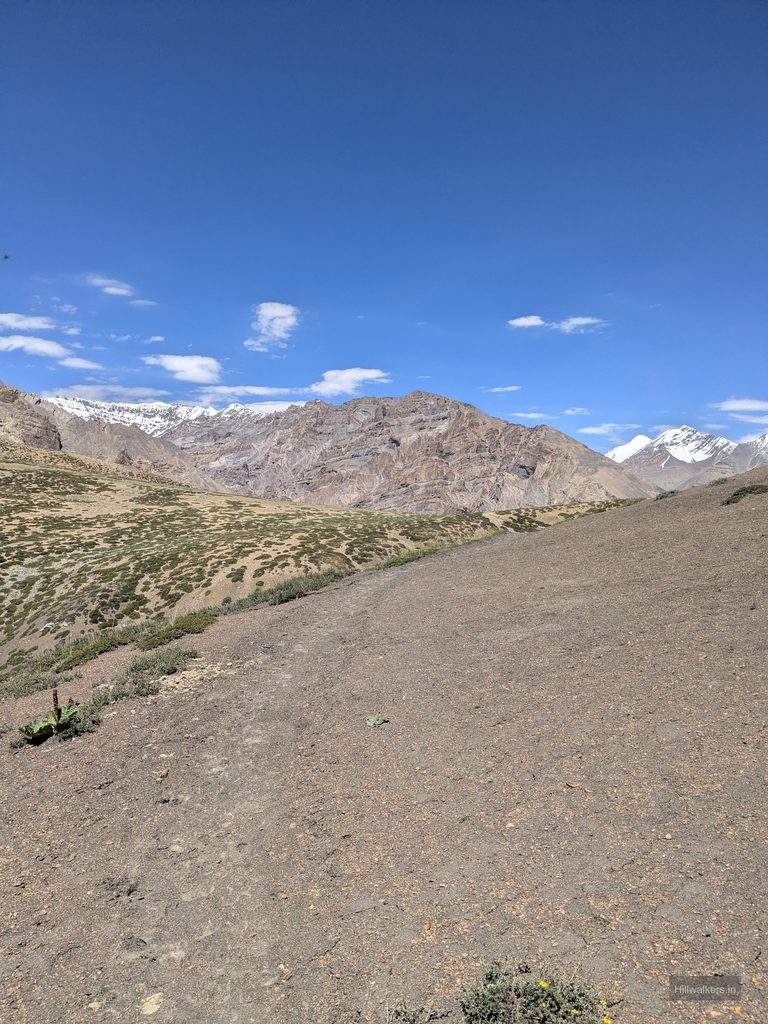
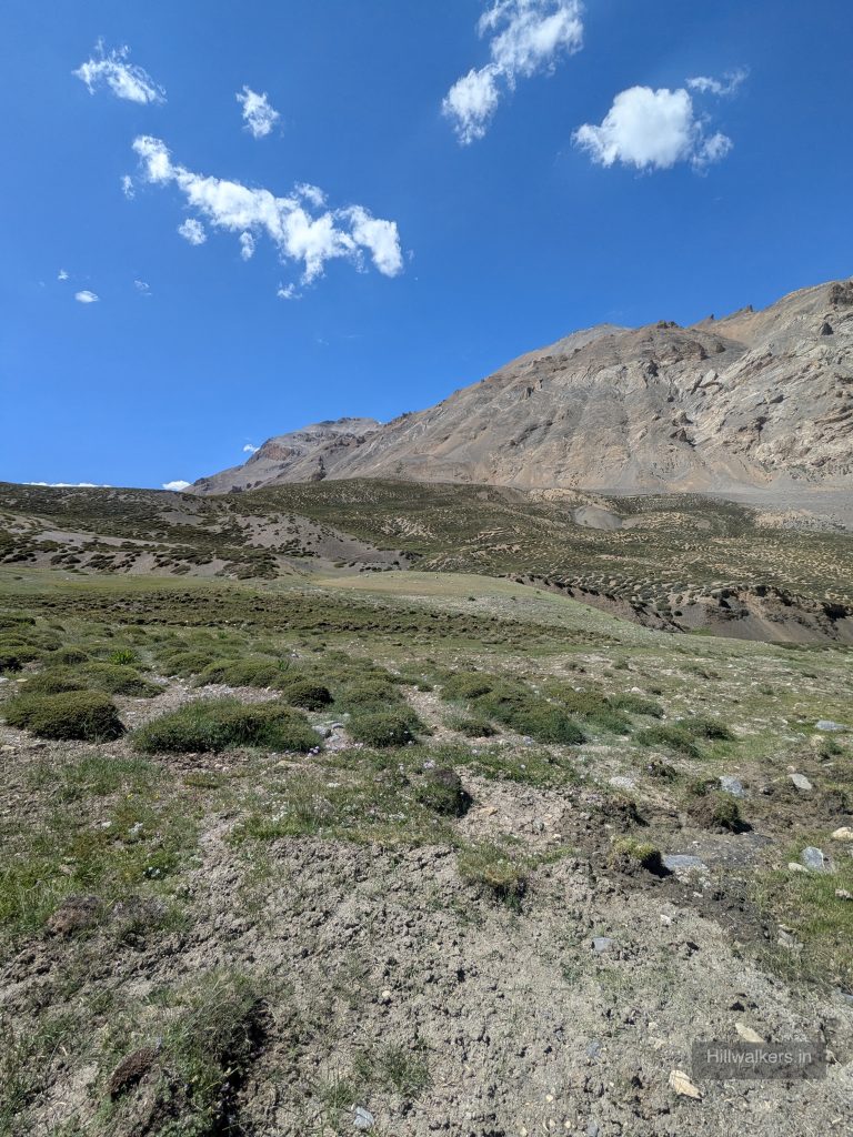
The trail descended towards the Parilungbi Gorge. While descending, we saw a group of Bharal, or Himalayan blue sheep, grazing around. After a while, they noticed us moving in their direction and gathered at a safer spot before running towards the gorge and beside the mountain. We kept looking around, taking in the mountain formations and moving ahead. Soon the descent became steeper.
At one point, we noticed a stream flowing down and found a place to put our bags down. It was time for lunch. Piyush had brought freeze dried meals for the trek, enough for around seven days. He cooked chole rice, and we had to find some shade to sit and eat. At the same time, we had to be careful because the Bharal were moving around above us and small stones were falling down the slope.
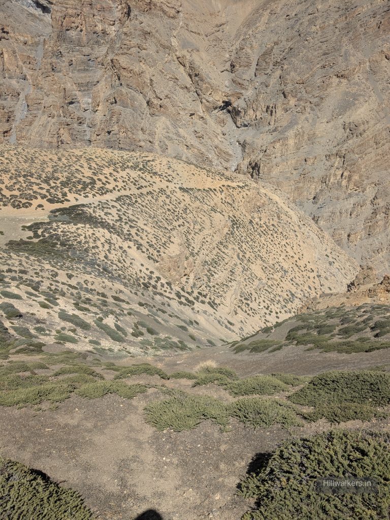
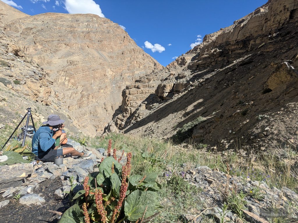
After a quick meal, we packed up and started moving again. There was some more descent and scree before we reached the nala. From there, we had to traverse along the nala towards the left. While walking, we were also looking for possible campsites in case we needed to stop or could not find a better place ahead.
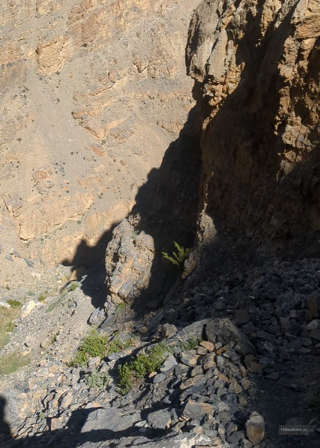
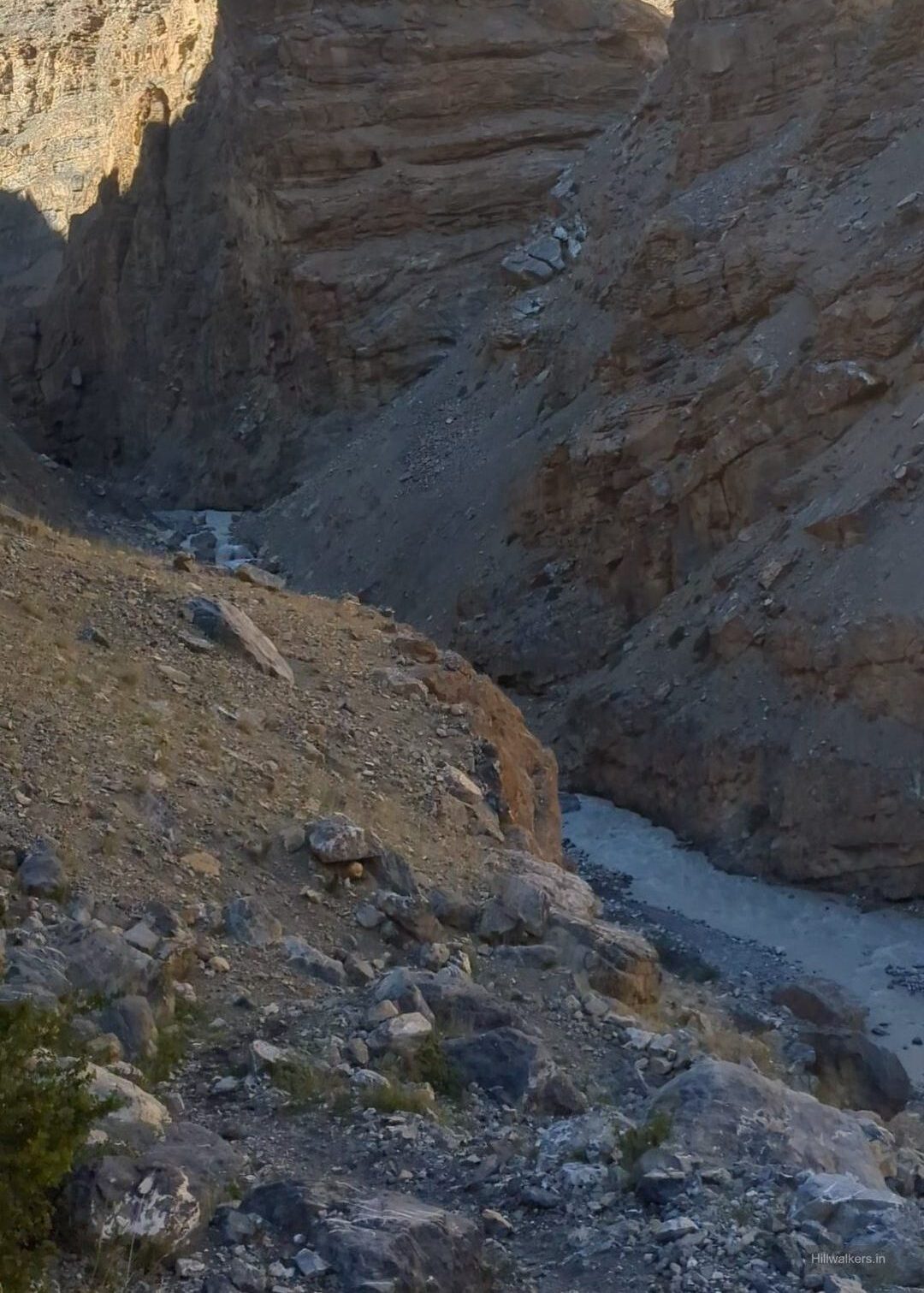
We continued following the trail and looking for the crossing. We found a wooden bridge, though it was not in very good condition. There were also two places where we could have camped, but we thought we could continue until the point where the next climb would start and camp there for the night.
The water levels were high, and we could see the flow clearly. We carefully followed the trail, with some sections going up and down through the layers of the terrain and passing right beside the water. At some places, the trail was partly hidden because of the increased water level.
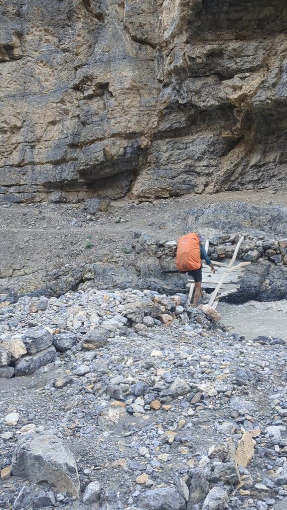

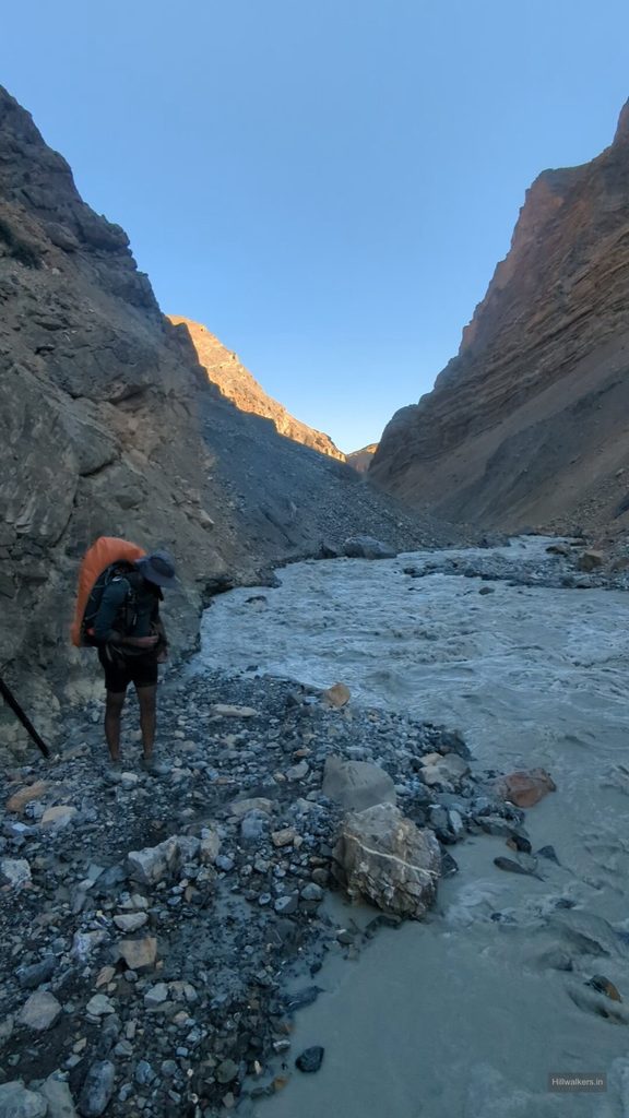
By around 6:00 PM, we reached the point from where the next climb would start towards the right. There was a stream just beside the nala. People had camped there earlier, but it was a rocky campsite. We set up the tent, and for cooking, we used a tarp over a rock structure away from the tent.
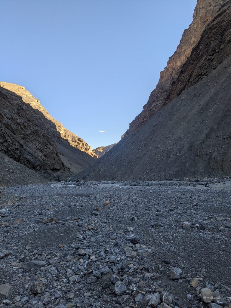
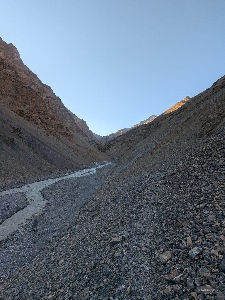
I got fresh and changed our clothes while Piyush was already in the mood for some snacks and was planning the evening meal. We sat together while he made popcorn along with soup. It felt like a luxury in the mountains. Later, he cooked rajma chawal from the freeze dried meals, but it felt almost like a freshly cooked meal.
While cleaning the utensils, Piyush suddenly called out and asked me to look ahead. For a second, I was scared. It was a black dog passing by and looking at us. We were left wondering where it had come from in such an isolated place with no human presence around. We kept our things as they were for the morning and went to sleep after a long day.
Borochin and the Sleepless Night
The next morning, by the time I woke up and changed my clothes, Piyush had already kept breakfast ready. It was muesli with peanut butter and protein. We had it, packed our stuff and left the camp at 10:00 AM. We knew we were late, but the distance for the day was small and we had around 700 metres of elevation gain planned.
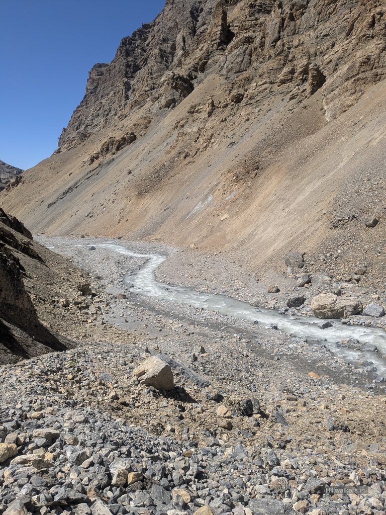
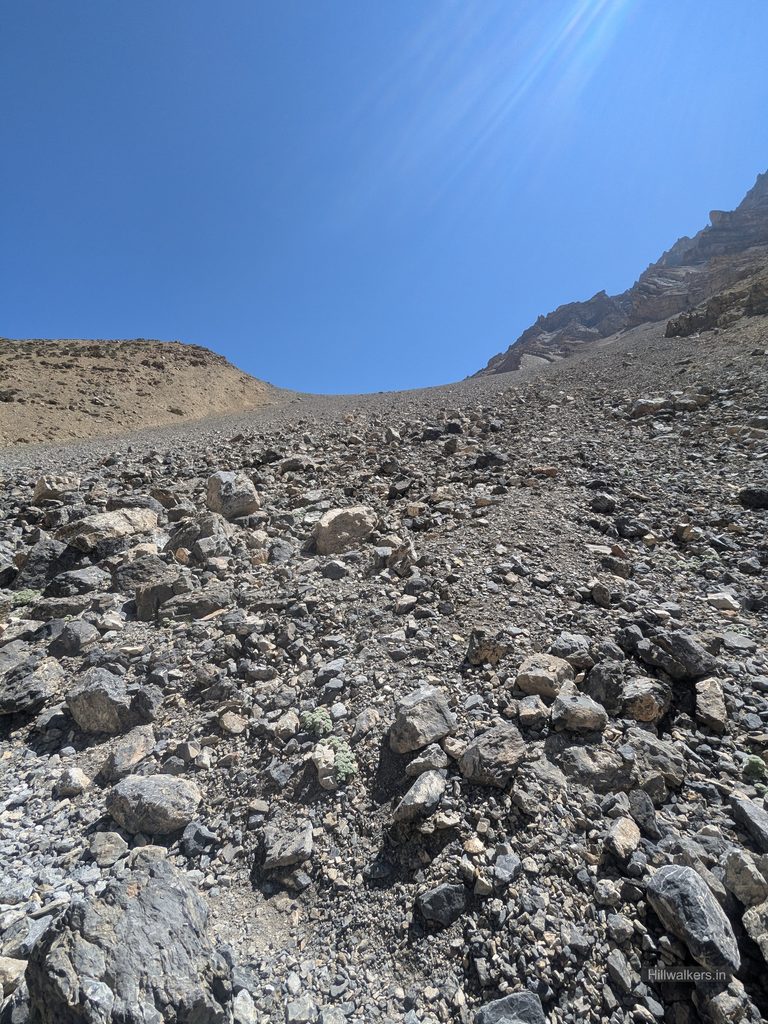
As soon as we started, I knew I wasn’t feeling 100 percent. I tried to stay slow but consistent. Every now and then, I would stop, look back at where we had camped, the gorge and the landscape around us, and then start walking again. After gaining around 200 metres, we met two foreign trekkers coming from Karzok. We were actually happy to see some people on the trail.
They had been out of network for a few days and were excited about the FIFA final. They asked us which teams had reached the final and said they were planning to watch it on 19 July after reaching Manali. We told them it would not be possible for us to reach Karzok or further by then. We wished each other and continued ahead.
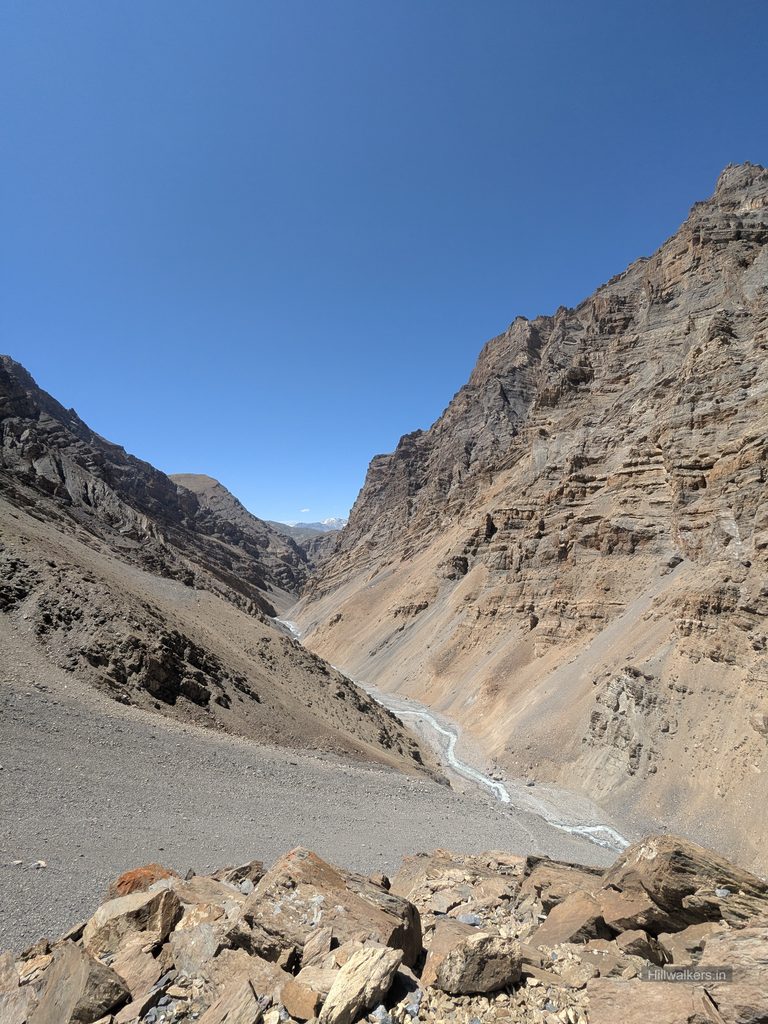
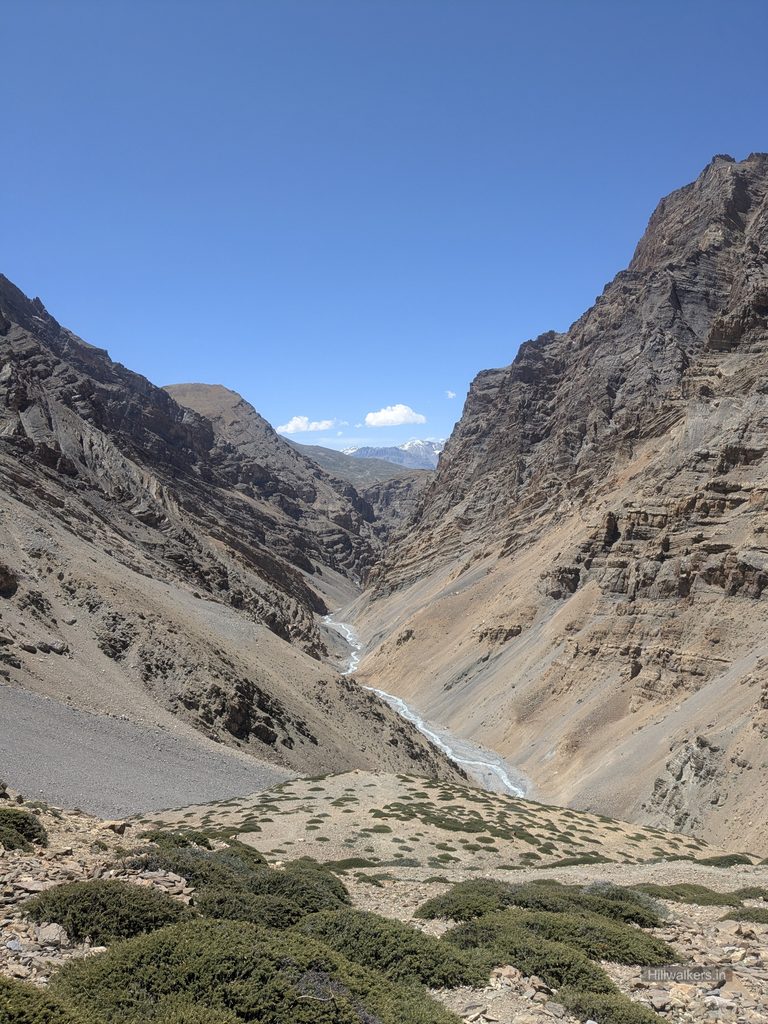
Piyush noticed that I was really slow and insisted on carrying some things from my backpack so that I could move more comfortably. I was carrying the ultralight tent, cooking set, food meals we were sharing, my personal things and sleeping bag. Piyush already had some common things, his personal stuff and camera gear. It wasn’t really the backpack weight that was affecting me. I simply wasn’t feeling 100 percent.
At one point, I put on my earphones and started listening to music to make myself more comfortable and divert my attention. Slowly, I became more consistent. There were sections where I took no breaks and we walked together for some time. Otherwise, Piyush would usually be far ahead, stopping to shoot and take photographs, while I walked at my own pace, slow and steady, observing the landscape. At times, it felt like I was hiking alone.
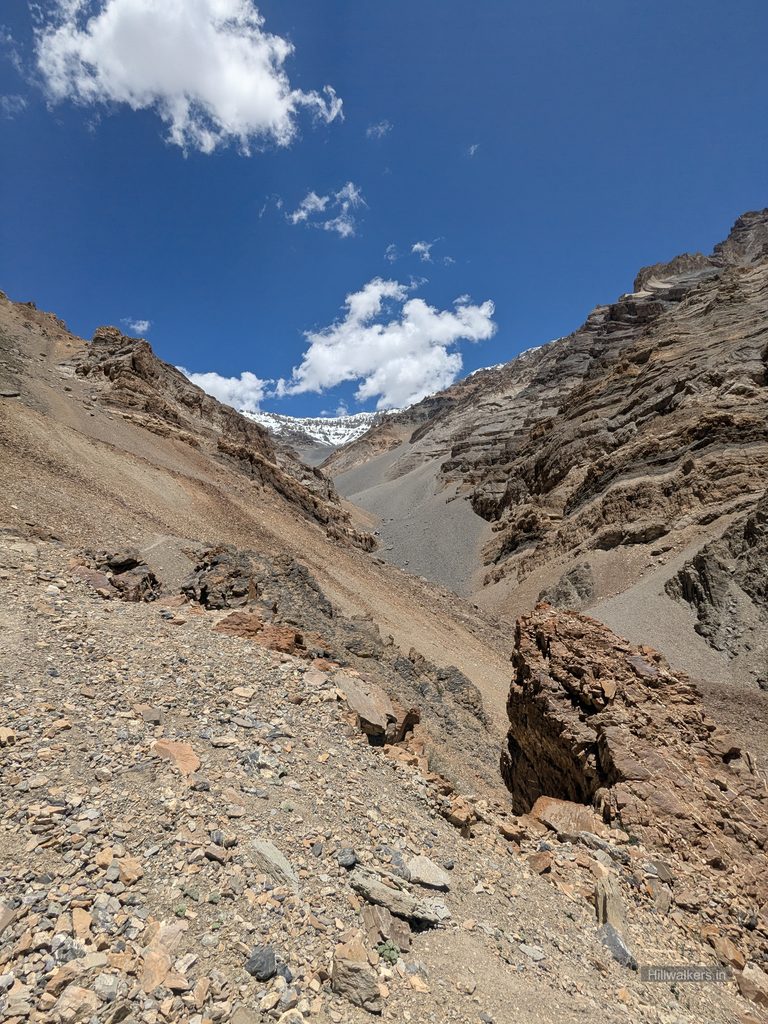
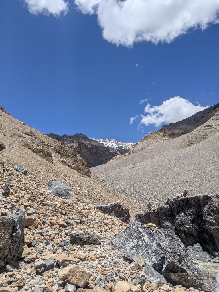
Around 1:00 PM, we reached close to the campsite we had planned to stay at, Borochin, around 5,100 metres. Knowing that we were close, I became even slower and started stopping in between, while Piyush moved ahead. At one point, he noticed a stream coming from higher up, kept his backpack down and went ahead to look for a better spot along the trail.
We had planned to stay at this campsite to acclimatize better before the pass and the further hike. It could also be the last water source before the pass. After a while, I went ahead and we decided on a location near the trail and the stream so that it would be easier to start in the morning.
As soon as we set up the tent and had our meal, it started to drizzle slightly and stopped within a few minutes. It looked very peaceful from inside the tent. We came out and took a few pictures, while Piyush also checked the next morning’s trail using the drone.
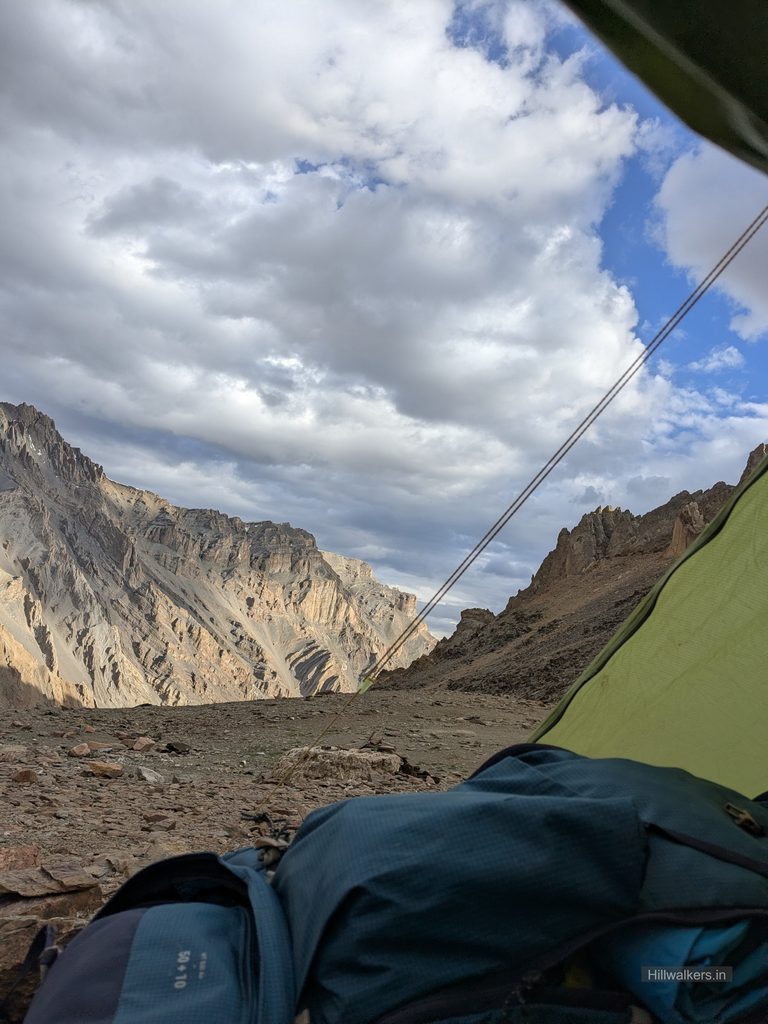
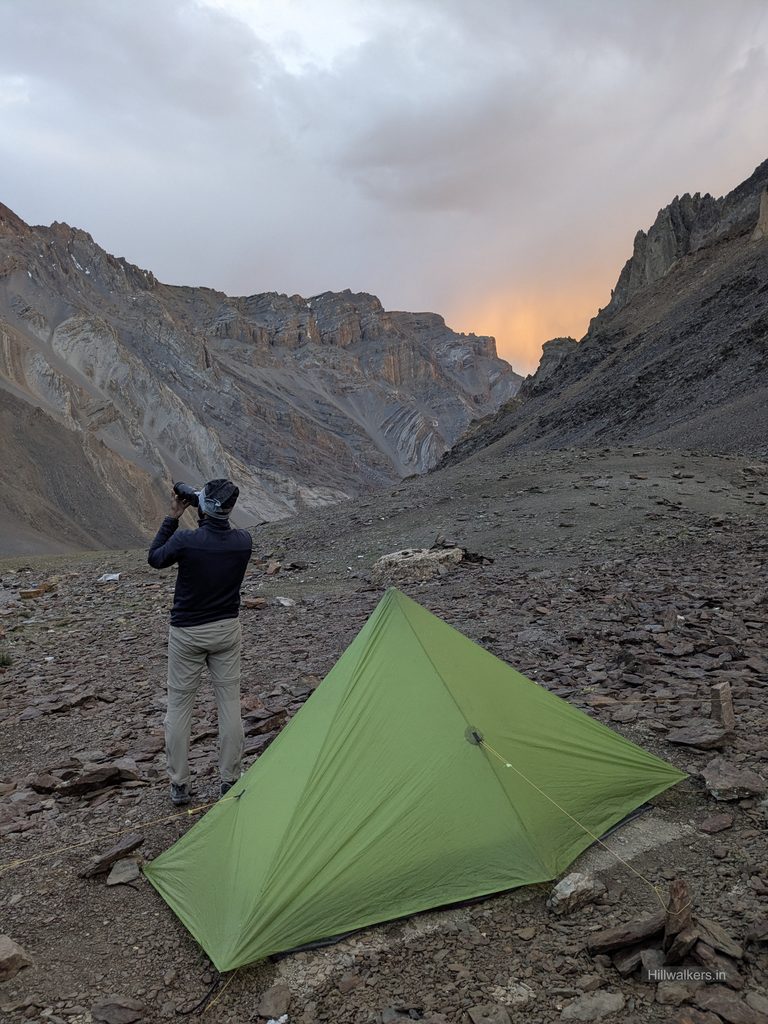
As it got dark, we had our meal and planned to sleep early. Piyush convinced me to start around 4:30 AM, wake up at 4:00 AM and try to reach the pass before 9:00 AM.
We thought it would be colder at this camp, but it wasn’t. In fact, it almost felt suffocating, probably because we were sleeping in a single person tent. We had to keep the inner chains open through the night. I couldn’t sleep properly at all. I kept sipping water because my throat felt dry, moved around, applied balm again and again and tried everything I could think of to fall asleep, but nothing really worked.
Around 4:00 AM, I finally started feeling sleepy and asked Piyush if I could sleep a little longer, otherwise I would have a bad day. I might have slept for only 15 to 20 minutes, and every now and then Piyush reminded me about the time.
Finally, around 5:30 AM, I woke up. Daylight had started coming in, so I quickly freshened up and had breakfast, which Piyush had already kept ready. Almost every day of the hike, he somehow managed to have breakfast ready before me.
I packed everything quickly, put the tent and other things into my backpack and started moving. It was past 6:00 AM, and I could see Piyush wasn’t happy that we had got late. We were supposed to leave at 4:30 AM. But for me, getting a little sleep was important before what I knew would be the most exciting day of the trek.
My usual idea is to feel comfortable when I reach the summit, so that I can actually enjoy and take in what I have come for. I started walking slowly but consistently and was feeling better, maybe because it was early morning. In my mind, I was calculating the time and elevation we were covering. Within an hour, I had reached around 5,300 metres, gaining more than 200 metres. I started feeling that we could still reach the pass before 9:00 AM, which had been our original plan if we had left at 4:30.
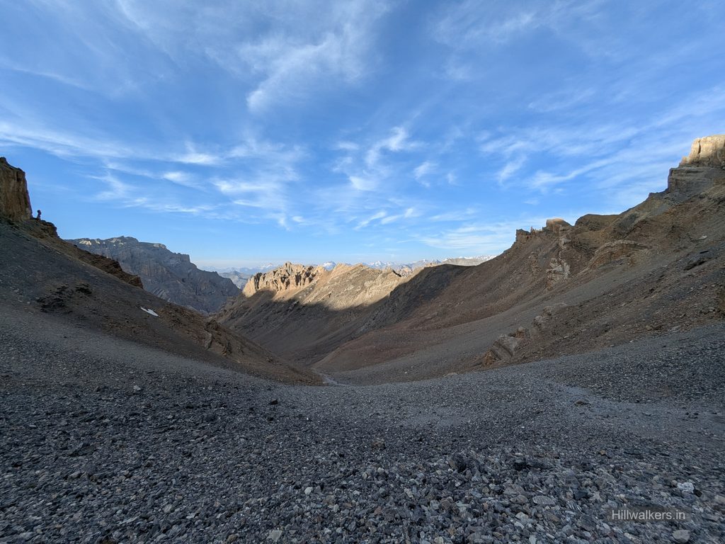
After a while, I saw Piyush quite far ahead. He stopped after crossing a small snow patch on the trail that was quite slippery and passed a message asking me to bypass it from higher up. He then moved ahead like a rocket.
After bypassing the snow patch from the higher side and coming back down, I took a short break. I put on my glasses and sunscreen as the sunlight was now coming directly onto us. By the time I started walking again, Piyush was already around 100 to 200 metres above me on the trail.
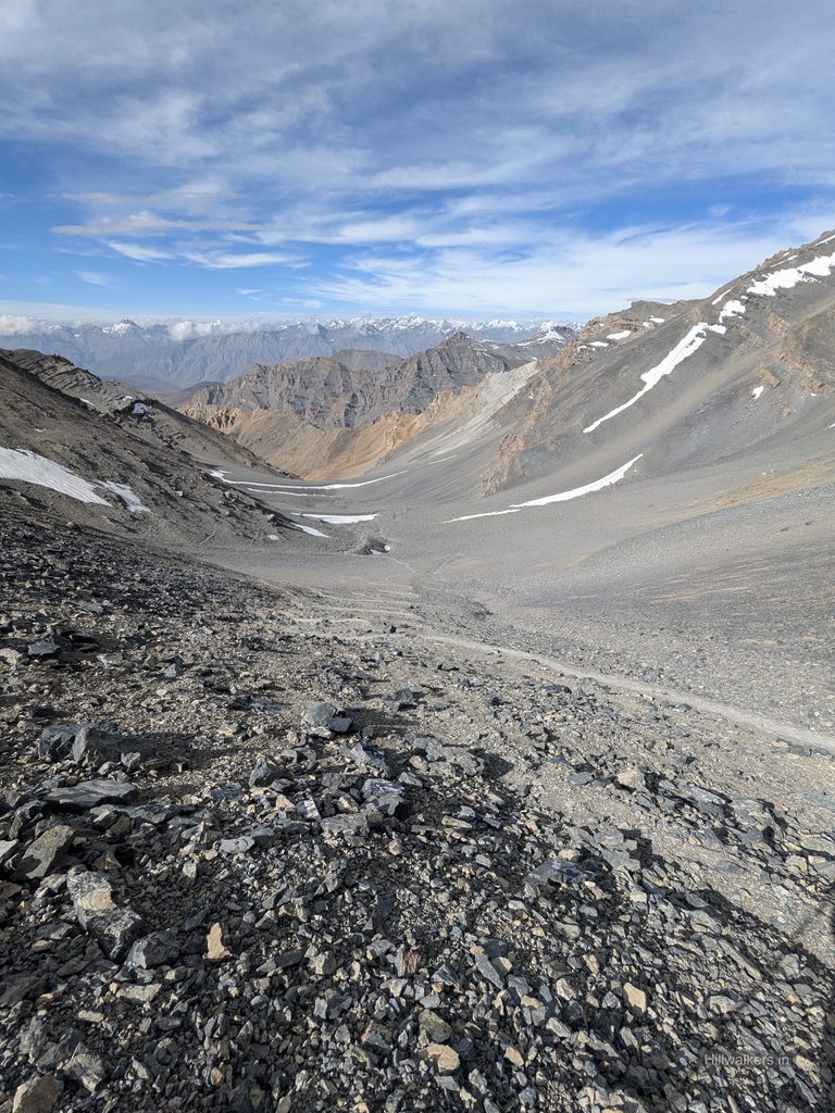
The trail now seemed to be on the final section towards the pass. It was steep and zigzagging, but the snow covered peaks around us kept me excited. The direct sunlight falling on the snow covered mountains made them shine. I just kept moving through the steep section, occasionally stopping to look back at the trail I had climbed and taking in the mountains around me.
Piyush was already at the pass, taking photographs. I reached a little later.
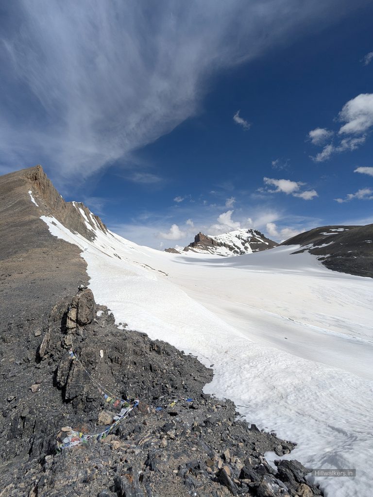
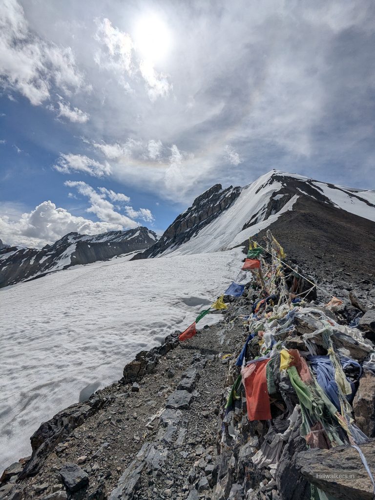
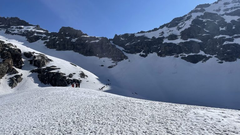
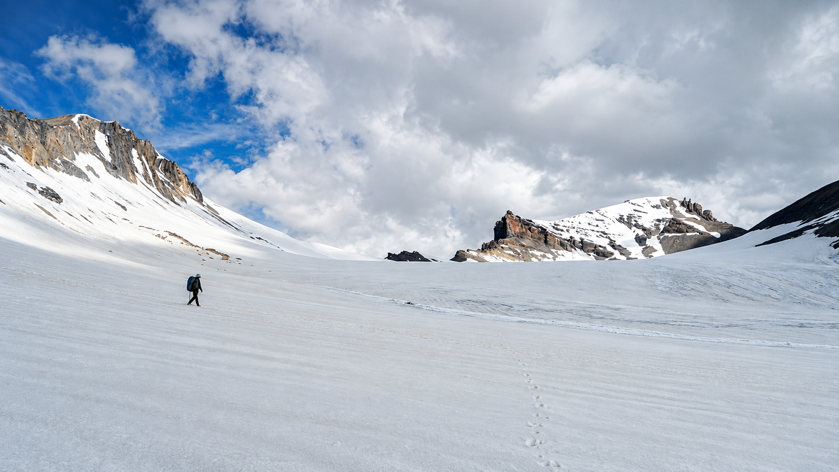
The first look was peaceful. The other side was completely covered in snow, while the side we had climbed from had almost none. It was an incredible feeling. I kept my backpack down, we hugged each other and I bowed down at the pass.
I asked Piyush, “Did I reach before 9, or am I 10 to 15 minutes late?” He checked his watch.
It was 8:58 AM.
That made both of us happy.
We had network at the pass. I quickly checked if there were any important messages or calls and informed Takpa Bhaiya that we had reached the pass. After spending some time taking in the surroundings, we decided to leave.
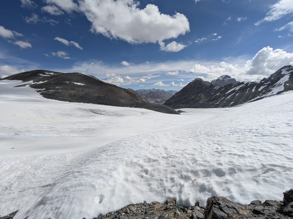
Crossing the Glacier
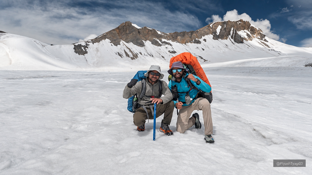
Now came the next challenge. We had to figure out the glacier route on the other side, and it was my first time crossing such a long stretch of glacier. We had snow spikes and an ice axe as backup, but we weren’t sure about the snow conditions and there were only two of us.
Piyush led the way again. Even though it was July, there was still enough snow in certain sections. Initially, we put on the snow spikes. While testing the snow, Piyush stepped onto a patch, slipped and sank around one to two feet into it. That immediately made us more cautious.
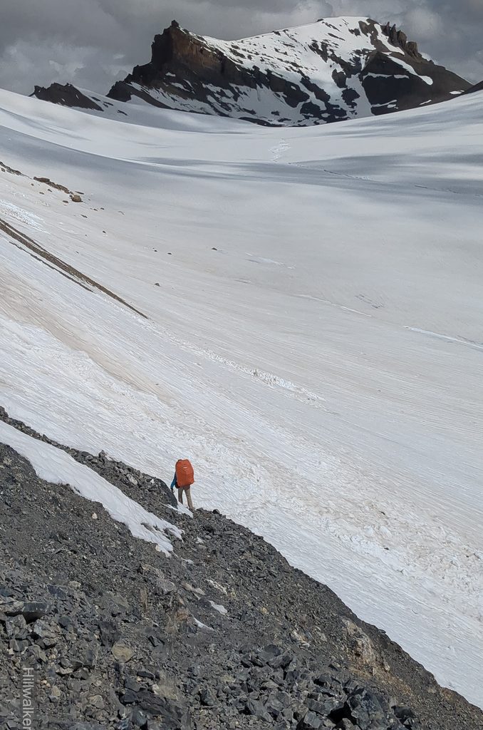
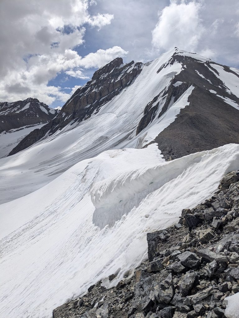
He came back and tried another approach towards the right. The initial section had rocky and scree terrain, so he removed the spikes before continuing onto the glacier. I followed behind, trying to take pictures of the landscape whenever I could. Piyush kept cautioning me as we moved forward. Some sections had soft snow, while others had hard ice. In between, there were small crevasses and streams flowing across the glacier.
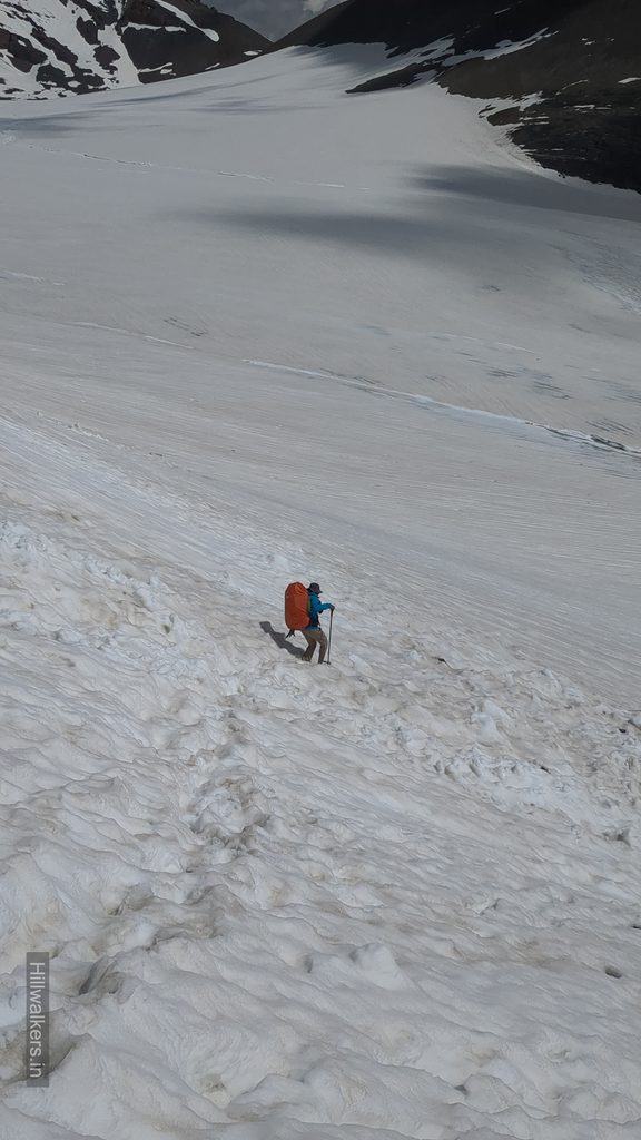
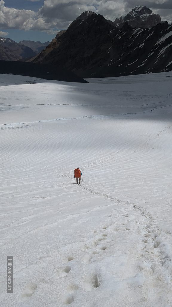
After crossing around half of the glacier, we saw two locals coming with horses. We guessed they had gone ahead with a group and were now returning. We spoke to them, found out they were from Chicham, asked about the trail ahead and continued walking.
Now that the horses had come through, we tried to follow their footprints until we crossed the glacier. From the right, the route looked longer, so we tried to exit the glacier towards the left. We took a 10 to 15 minute break to dry our shoes and sort things before moving ahead.
The terrain was now mostly scree, with small rocks piled over each other. We could see a trail and started following it. After walking for a while, we realized we had missed the trail. Ahead was a steep section where we could neither descend nor traverse safely through the scree.
We decided to come down from the middle towards the right, heading towards the tongue of the glacier, and find the trail again. It was around 11:30 AM.
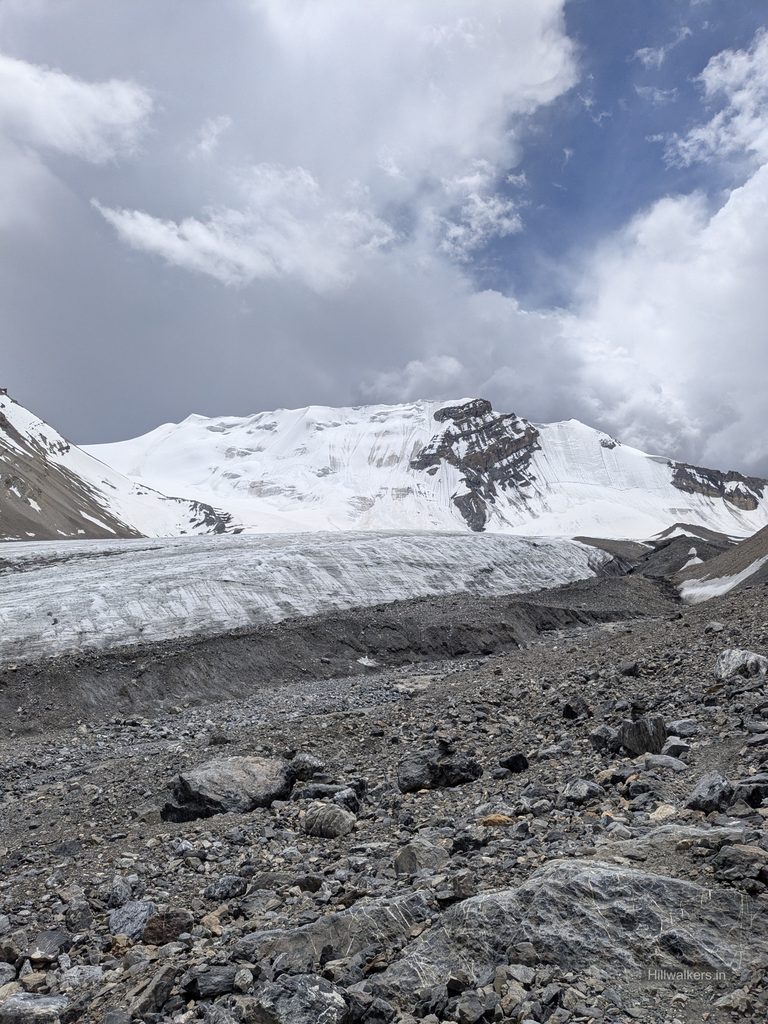
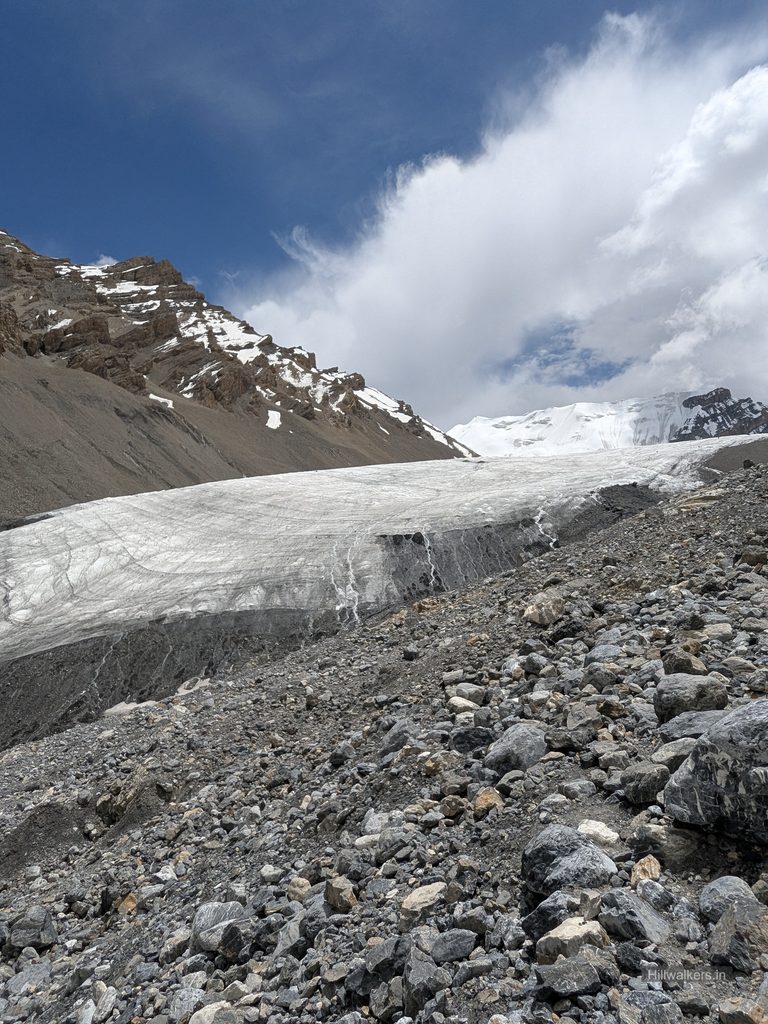
Initially, we moved along the glacier tongue looking for a way through. There was a deep crevasse or water hole ahead, so we decided to come back a little and cross a large stream instead. We somehow crossed the stream, took a short break and decided to move towards the left to look for the trail.
The trail on our digital map showed the same route. As we moved left, we eventually found the trail coming through and followed it without losing it again. We kept wondering where exactly we had missed it earlier.
This side of the pass had enough water sources at intervals, so we filled our bottles along the way. We also realized that we had spent comparatively more time after crossing the glacier figuring out the trail and perhaps relaxing a little after crossing the main section.
We continued walking and eventually reached Base Camp, where we decided to have lunch. I also thought of taking a short nap. But it was sunny, so I opened the umbrella and then used a tarp to create some shade. Instead of feeling cooler, I somehow ended up feeling even hotter.
In between, it drizzled a little. We could see dark clouds forming on the other side of the pass, the same side we had come from, and were thankful that we had not had to face that weather while crossing.
After lunch, we left with the plan to try and reach Karsha Yongma, around 4,900 metres, or further if possible. Most of the elevation had already been lost, but there was still a lot of distance to cover. We continued through scree traverses around the river bed. Some trail sections were damaged, so we had to move carefully or find alternatives.
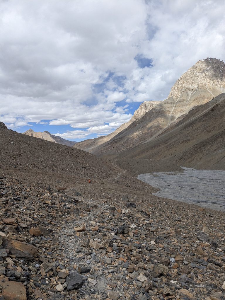
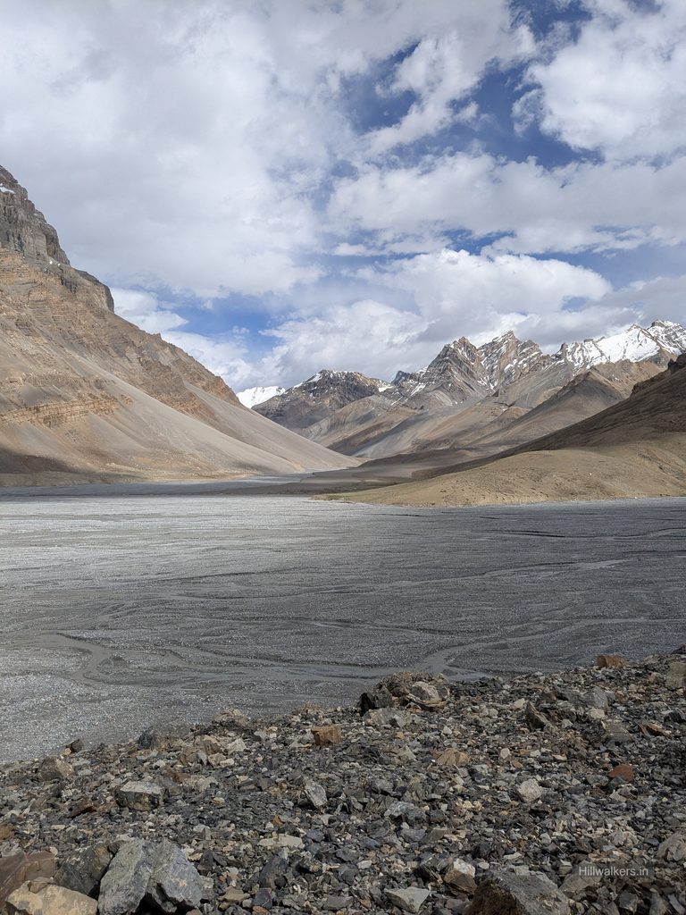
Before 4:00 PM, we reached Karsha Yongma. We thought about going ahead, but the campsite was so peaceful that we decided to stay there for the day. It felt like a junction where two valleys came together, one from the Parang La side and another from the right, with a stream from the other side merging into the Pare Chu. There was also a long, flat riverbed beside small green patches.
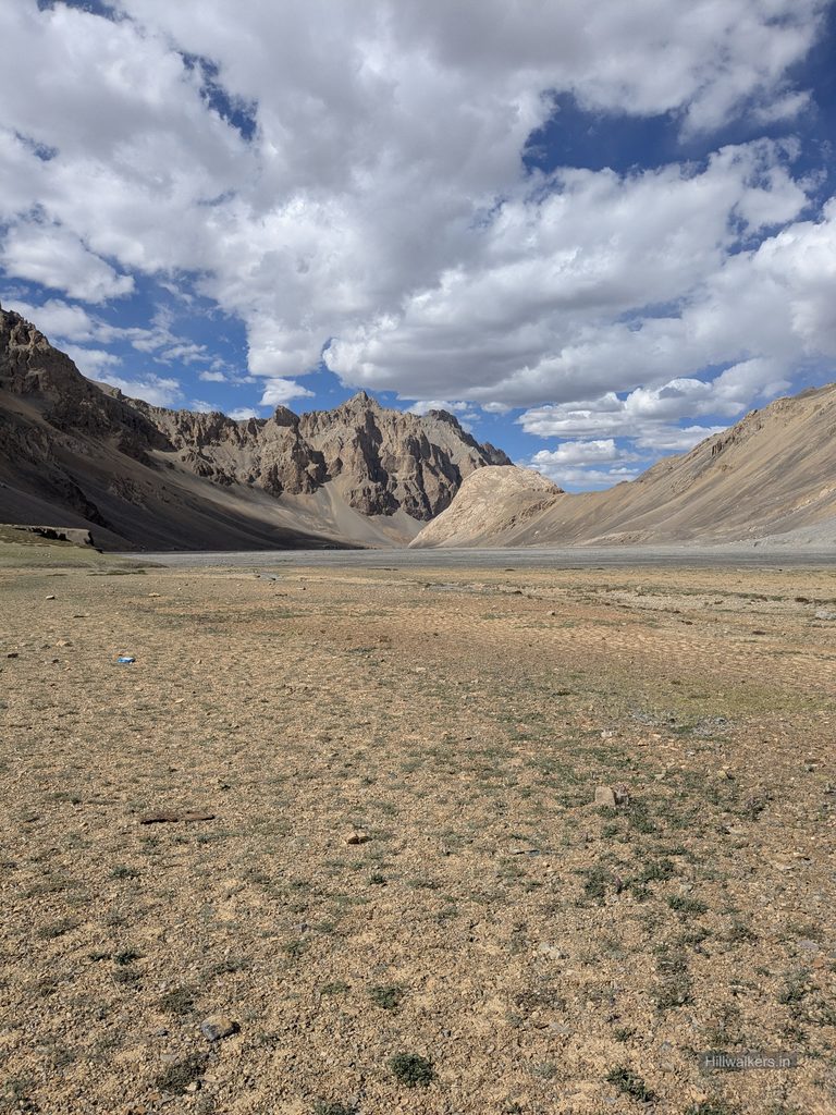
We pitched the tent, sorted our things and planned the evening meal. I rested for a while, hoping to make up for the sleep I had missed the previous night. I couldn’t really sleep, but surprisingly, I wasn’t feeling too affected by the lack of sleep.
Around 6:00 PM or a little later, Piyush took charge of cooking. While preparing the meal, we discussed the next day’s plan. Piyush left it on me and said we would leave whenever I say and I would be the one to wake up first. I said okay, and we would try to move around 7:00 AM.

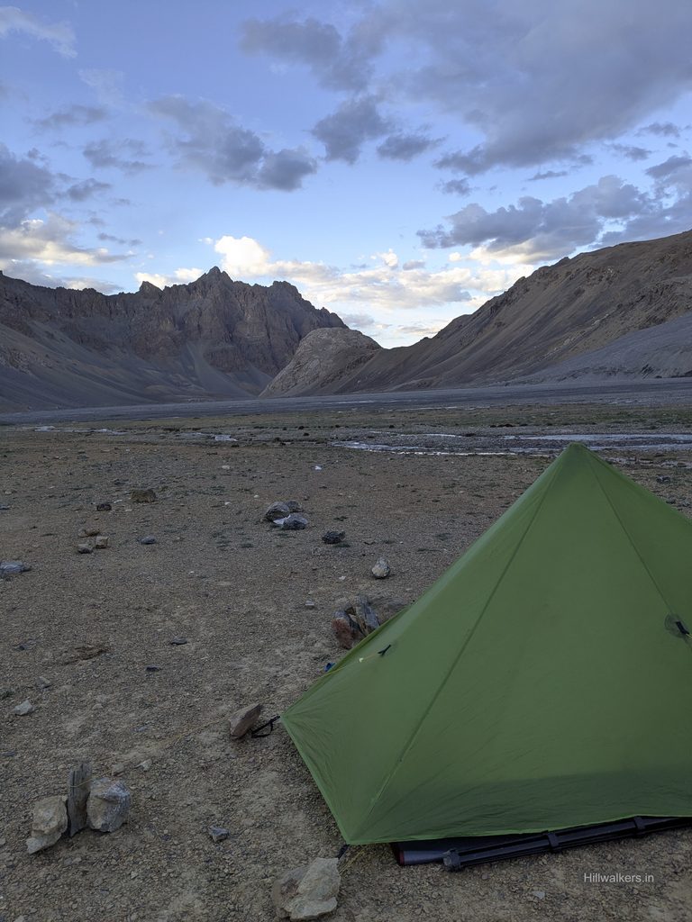
The plan was to reach Kapapuche, around 4,650 metres, first and then decide how far we could go. It was a long, spread out valley and we expected mostly flat terrain. But somewhere in my mind, I was already thinking about reaching before the Pare Chu crossing. We needed to cover at least 35 km so that we could cross the river in the morning. Otherwise, we might have to spend one more day.
The Long Walk to Kibbo Rangza
I had a good sleep that night and woke up around 6:30 AM. Piyush was already awake, had sorted his things and was waiting for me to come out. By the time we left, it was 8:00 AM.
Within a few minutes, we had to cross a small flowing river. It was just the beginning of what would become one of many crossings that day. We were now on the right side of the Pare Chu, walking through a wide, mostly flat terrain with some ups and downs. The turns and mountains that looked close from a distance were actually much further away. Even the riverbed felt almost a kilometre wide.
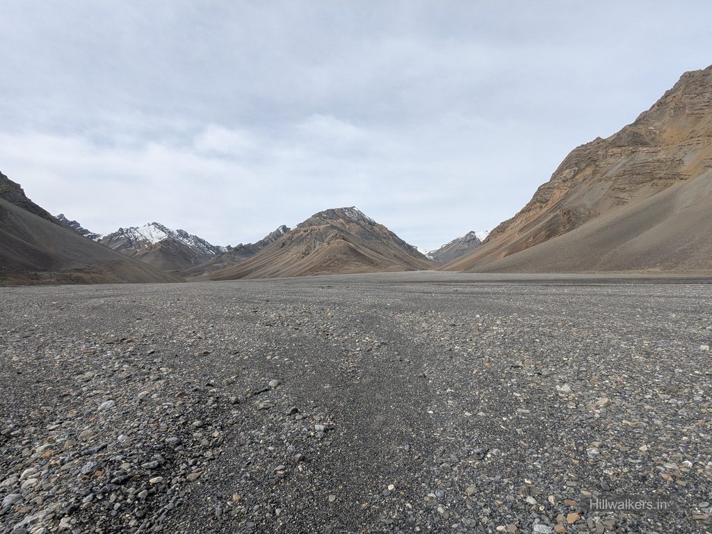
We kept walking, taking short five to ten minute breaks every one to two hours. Around 1:00 PM, we reached Datang Yongma, around 4,750 metres, where we stopped for a break. The weather was changing. Dark clouds were moving in from the direction we were heading, while the pass side was already covered.
We were hoping the clouds would pass soon. Meanwhile, we covered ourselves and our backpacks with the tarp. It started raining, so instead of cooking, we had protein bars. We weren’t really hungry enough to cook either. After some time, the rain stopped and we started walking again, keeping the umbrella handy.
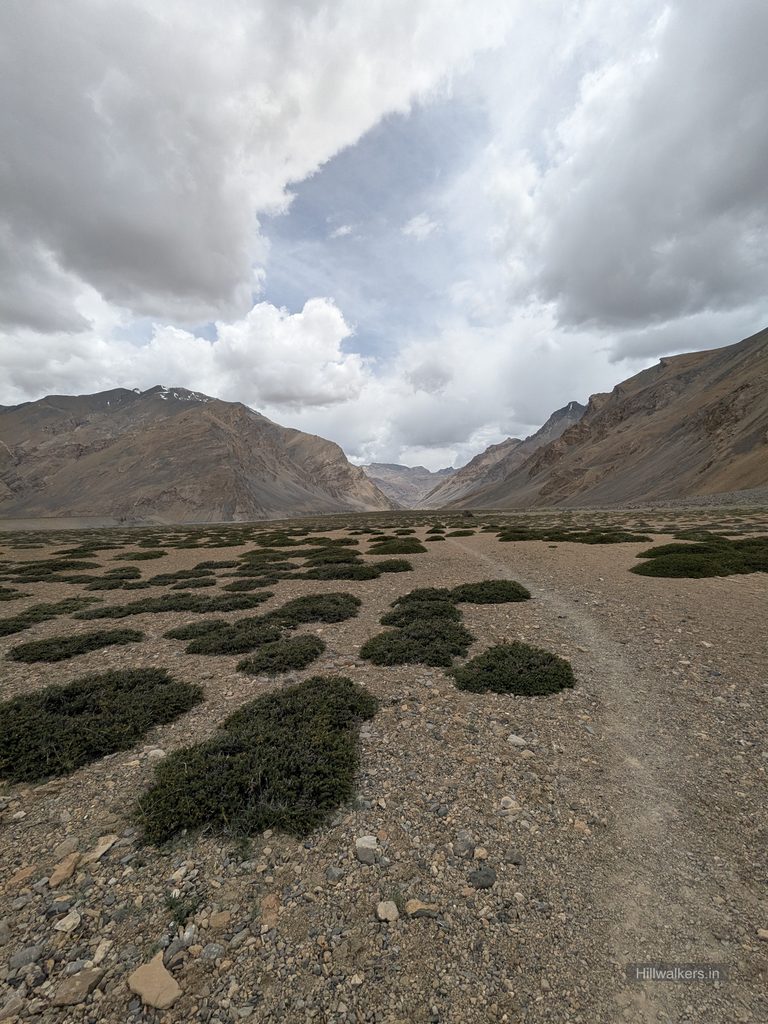
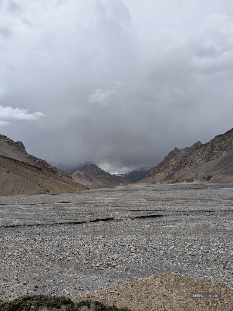
We were also calculating the plan, but decided to first reach Kapapuche and then take a call. We were a little concerned about the streams around Kapapuche and further ahead. I started using slippers for some of the crossings because the water was extremely cold.
Around 5:00 PM, we crossed Kapapuche and discussed what to do next. Piyush asked me what I thought.
I said, “Let’s go and try to reach Racholamo first and then Kibbo Rangza.”
He seemed excited and happy, probably because he wasn’t expecting that from me after how slowly I had been walking earlier.
From Kibbo Rangza, the river crossing for the next day would be only around four to five kilometres away, which meant we could reach it in the morning. We were in good shape to continue, so we kept walking without taking another break.
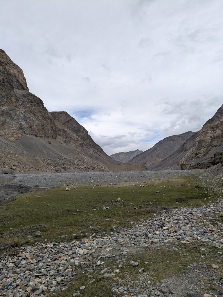
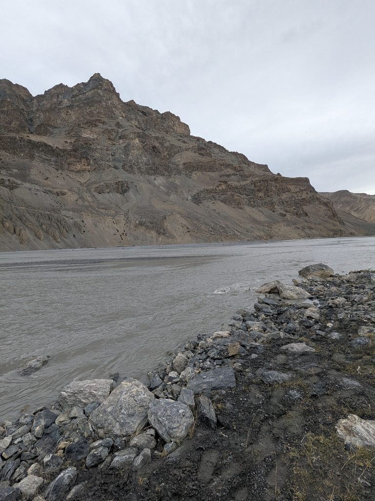
Around 7:45 PM, we reached Kibbo Rangza, just as it was about to get dark. We first decided to pitch the tent, and it became dark while we were doing it. Meanwhile, Piyush went looking for water, which we expected to find near the campsite, but we couldn’t locate any in the dark.
I continued arranging and fixing the tent as it was windy and there was a possibility of rain. We quickly cooked and had our meal. We had skipped our afternoon meal, so it was much needed.
Afterwards, we sat and thought about the day. We had covered more than 35 km with full backpacks at this altitude. For me, after the way I had been struggling the previous day, it was a very satisfying feeling. It also gave us strong hope that we could finish the Parang La trek on the fifth day.
The next day, after crossing the river, we still had around 30 km to reach Karzok. We knew there would be a road section, so we were hoping we might get a lift at some point and reach Karzok by the end of the day.
At night, after we fell asleep, I heard the sound of an animal being hunted. I woke up but stayed inside the tent, trying to figure out how far away it was and which direction the sound was coming from.
Crossing the Pare Chu
The next day, 20 July, we started around 7:30 AM and reached the point where we had to cross the river in about an hour.
Piyush went ahead and asked me to wait until he indicated that I could cross so that he could photograph the crossing from the other side. The river was wide enough that I knew I wouldn’t be able to see his indication or hear him clearly from where I was.
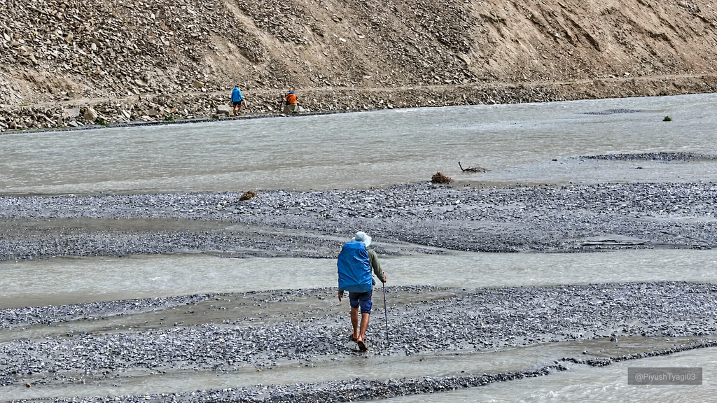
I got ready by removing my shoes, wearing slippers and folding my pants above my knees. I watched carefully as Piyush crossed. There were multiple sections of flowing water, and in the second and third sections, the water came up almost to his waist.
That made me more cautious.
I tried finding a better section where I could cross diagonally, but the second patch still looked deep and the current was strong. Piyush asked me to come through the same line he had taken. I tried entering the water, but in the middle it reached my thighs and the force of the water was quite strong.
I quickly decided to come back.
Piyush kept saying that this was the only deep patch and that it wouldn’t be much further ahead. But I still came back and started looking for a better route. I moved a little ahead, looking for sections where the flow split, then crossed diagonally and used the direction of the water to move across more easily.
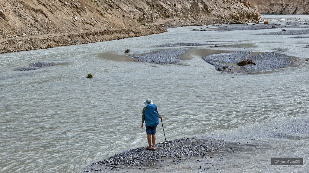
Doing this, I crossed all the flowing sections, and thankfully the water reached only up to my knees at its deepest. By then, my feet were extremely cold. I kept rubbing them in between, and after crossing I had to dry them and rub them against the rocks to generate some warmth until they felt better.
After a few minutes, we started moving again. We knew there would be a rough road ahead, and when we saw a vehicle going towards Karzok, we immediately regretted not having taken a lift.
We continued walking and, to our surprise, found a well built road where construction and finishing work was still in progress. We spoke to the workers, and they told us that a vehicle had just left. They suggested we walk around three kilometres to where a bridge was under construction, saying we might get a lift to their camp from there.
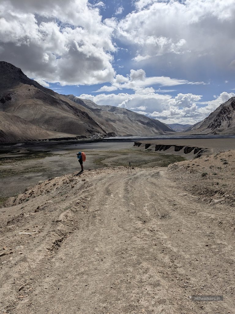
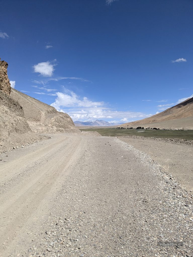
We were hoping for a lift so that we could cover some distance by vehicle and somehow reach Karzok by the end of the day. But after walking for a while, even the built road started feeling tiring.
On the way, we crossed paths with a shepherd who guided us and asked us to visit his shelter and have tea before moving ahead. Sometimes I feel shepherds are among the kindest people you meet in the mountains.
We continued walking and took a trail beside the road that looked shorter. Later, we realized the construction section was actually on the left, where vehicles were moving, and we had missed it again. Eventually, we reached the road section, passed the shepherd’s camp without stopping and decided to wait near the road for a lift.
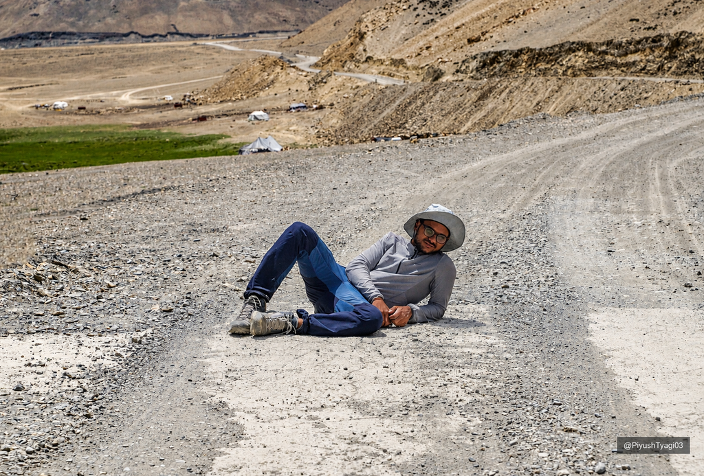
After waiting for around 30 minutes, we finally got one. The people themselves stopped a vehicle for us, and we boarded. It was going to their camp, which was already enough for us because it would save around 10 km of walking.
The road section felt almost like a movie scene. Soon, Tso Moriri started appearing, and the ride became even more exciting.
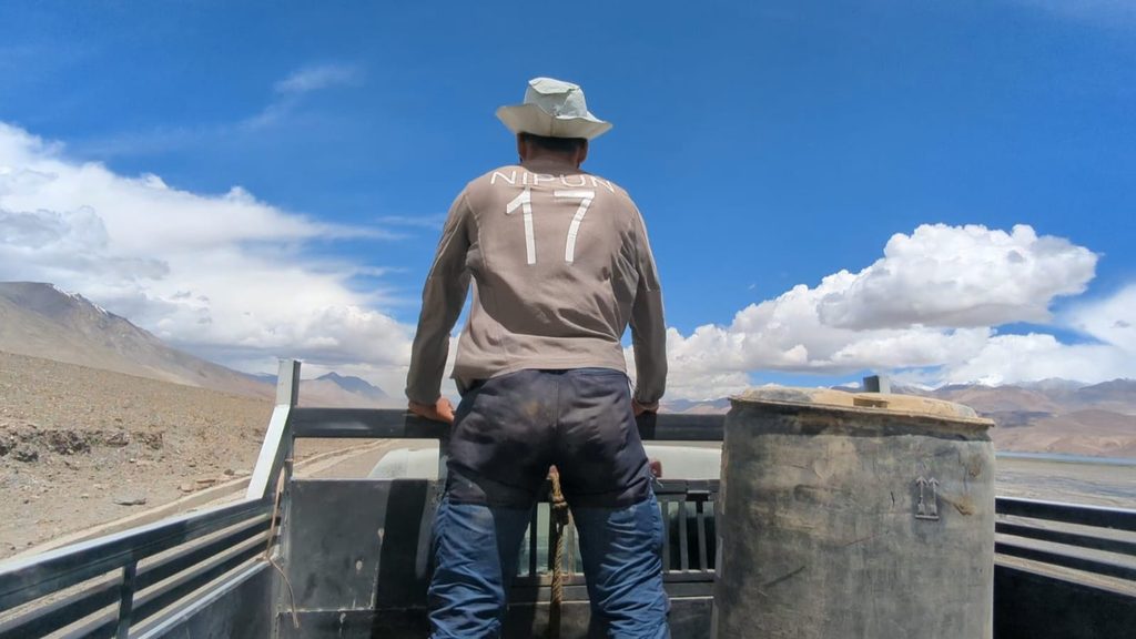
At the camp, one of the men asked us to have food before leaving and told us that more vehicles would be going ahead. Suddenly, everything had turned around. We had found a lift, we were offered some of the best dal rice we had eaten, and we had kind conversations with the people there.
After the meal, we thanked everyone and moved ahead. We then hitchhiked three more vehicles before finally reaching Karzok.
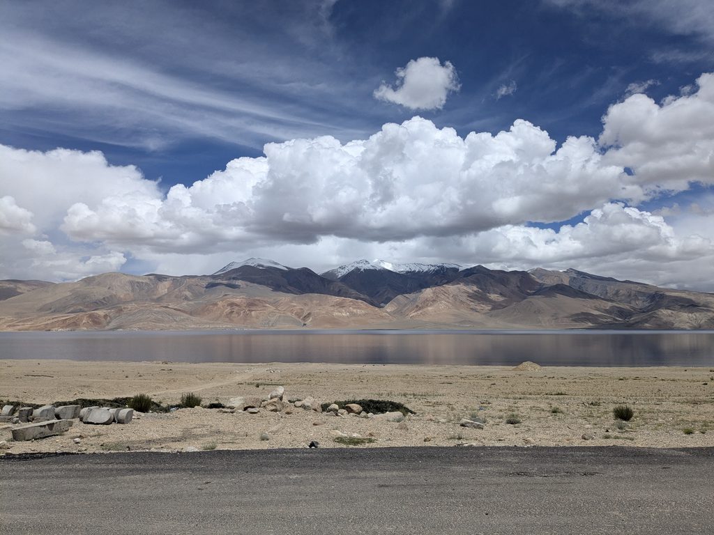
Around 1:30 PM, we reached Karzok. Now another possibility came to mind. If we could find a vehicle going towards Leh, perhaps we could reach there the same day as well. After waiting for some time, we found a camper vehicle going towards Leh at a reasonable cost. Somehow, before 7:00 PM, we reached Leh.
It felt a little unbelievable. That morning, we were only hoping to reach Karzok by the end of the day. By evening, we were sitting in Leh.
Looking back, Parang La had started with us wondering whether we would even be able to do it. There were delays, food poisoning, slow days, a sleepless night, the glacier, long walks and the Pare Chu crossing. At every stage, the plan kept changing, but somehow we kept moving.
By the time we reached Karzok, the trek already felt like an achievement. Reaching Leh the same evening was something we had not even imagined that morning. From wondering in Chicham whether Parang La was even in our fortunes to sitting in Leh that evening, the whole thing felt a little unbelievable.
We never really knew exactly how the next day would go. Not everything went as planned, but some things went in our favour too. The weather stayed with us for most of the trek, and whenever things worked out, we simply kept moving. Parang La became my highest altitude trek and the longest Himalayan trek I had done as a self supported backpacking journey, with just the two of us carrying what we needed and following the plan we had prepared, while keeping the itinerary flexible as things unfolded. The beautiful mountains, the stunning glacier and the vast, serene landscape around us kept us going in their own way. There were moments when we simply stopped, looked around and felt grateful to be there, experiencing a world that made us feel truly alive. In the end, we just took it one day at a time, kept admiring what was around us, and kept walking.
For the trek guide, visit the Trek section.