
Harihar Gad
Quick Info
Altitude
1120 m
Difficulty
Easy Moderate
Distance
4 Km
Base Village
Harshewadi • Nirgudpada
Duration
2 hrs
Best Season
Winter
Highlights
- Iconic rock-cut staircase
- Panoramic Sahyadri views
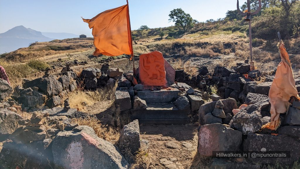
- Historic hill fort
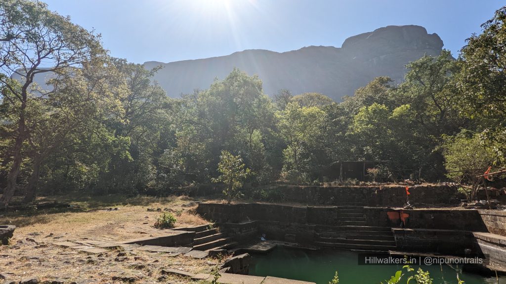
- Water cisterns on the fort
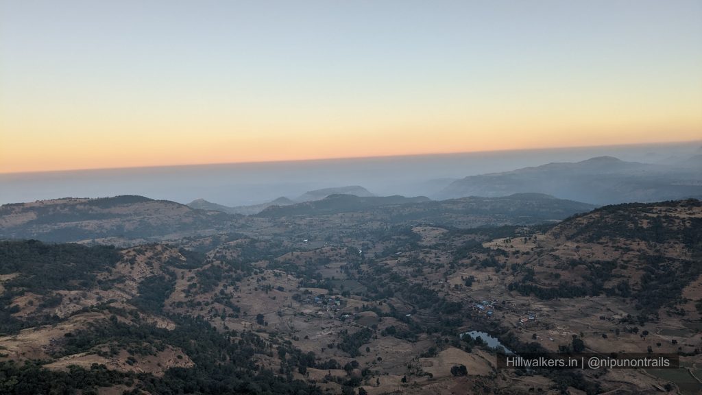
- Popular sunrise trek
- Part of the Trimbak range
Overview
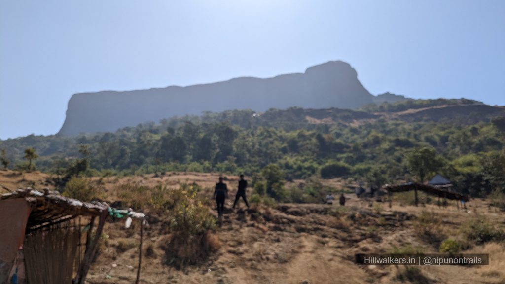
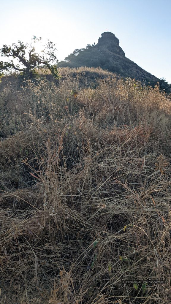
Harihar Fort, also known as Harshgad, is one of the most distinctive fort treks in Maharashtra. Located in the Trimbak range near Nashik, the fort is best known for its steep rock-cut staircase carved into a nearly vertical rock face. Although the trek is relatively short, the final climb is what makes Harihar memorable for most trekkers.
The fort is believed to have been built during the Yadava period and later changed hands between different rulers before eventually coming under British control. Its location overlooking an old trade route made it strategically important in the past. Today, trekkers visit Harihar for its unique staircase, historic remains, and wide views of the surrounding Sahyadri ranges.
Harihar is also part of the larger Trimbak range and is often included in longer ridge walks and range traverses connecting nearby peaks and forts. Experienced trekkers sometimes combine Harihar with routes through the Fani Dongar region and other sections of the Trimbak range as part of extended day hikes and exploration traverses.
Essentials
Water
Carry from Base
Network
Intermittent
Camping
Not recommended
Washroom
Basic facility at Base
Food
Available at Base
Guide
Not Mandatory
Caution: Monkeys are often seen near the staircase and fort top. Avoid carrying valuables and do not leave food or bags unattended.
What To Carry
Dry-fit T-shirt
Trek Pants
Windcheater / Rain Jacket
Extra Pair of Socks
Cap / Buff
Minimum 2L water
Energy Bar / Dry Snacks
Electrolytes
Headlamp / Torche
Powerbank
Trekking Pole
Backpack
Personal Medicines
Camera
Sunglasses
Note: This checklist serves as a general guide. Adjust your gear based on weather, season, trek conditions, and personal requirements.
Routes
Harshewadi
Base Village:
Difficulty: Easy to Moderate🟢
Duration: 2 Hrs
Distance: ~ 3-4 km
The Harshewadi route is shorter and generally considered easier than the Nirgudpada route. The trail joins the main route near the plateau below the staircase and is commonly used by trekkers approaching from the Trimbakeshwar side.
Nirgudpada
Base Village: Nirgudpada
Difficulty: Medium🟡
Duration: 3 Hours
Distance: ~4 km
The Nirgudpada route is the most commonly used approach to Harihar Fort. The trail passes through open fields and gradual slopes before reaching the base of the fort. The famous staircase forms the final section of the climb. Most trekkers use the same route for both ascent and descent.
How to reach
Harshewadi
Travellers can reach Trimbakeshwar from Nashik and continue to Harshewadi by local transport or private vehicle. Harshewadi is often preferred by trekkers as base due to recent developments. Private vehicle from Kasara or Nashik is the most convenient option.
Nirgudpada
Travellers can reach Nashik, Igatpuri or Kasara by train and continue towards Nirgudpada by road. Shared vehicles and local transport may be available depending on the season and time of day. Private vehicles remain the most convenient option.
Map & Location
Base Village: Harshewadi / Nirgudpada
District: Nashik
State: Maharashtra
Nearest Railway Station: Kasara / Igatpuri / Nashik
Nearest Airport: Mumbai
Region: Western Ghats
Safety
Fit Beginners
Experienced Trekkers
Moderate fitness recommended
Steep rock-cut staircase
Slippery during monsoon
Nearest Village : Harshewadi
Gallery
FAQ
Didn’t find your question here? Contact us and we’ll be happy to help.